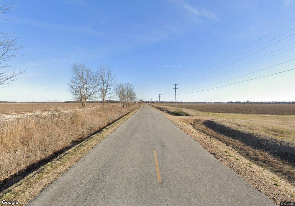
8154 Old Highway 49 S Clarksdale, MS 38614
Estimated Value: $60,000 - $74,000
--
Bed
--
Bath
572
Sq Ft
$121/Sq Ft
Est. Value
About This Home
This home is located at 8154 Old Highway 49 S, Clarksdale, MS 38614 and is currently estimated at $69,269, approximately $121 per square foot. 8154 Old Highway 49 S is a home with nearby schools including Clarksdale High School.
Ownership History
Date
Name
Owned For
Owner Type
Purchase Details
Closed on
Jul 26, 2012
Sold by
Mckenna Diane
Bought by
Dietterle Todd
Current Estimated Value
Create a Home Valuation Report for This Property
The Home Valuation Report is an in-depth analysis detailing your home's value as well as a comparison with similar homes in the area
Home Values in the Area
Average Home Value in this Area
Purchase History
| Date | Buyer | Sale Price | Title Company |
|---|---|---|---|
| Dietterle Todd | -- | -- |
Source: Public Records
Tax History Compared to Growth
Tax History
| Year | Tax Paid | Tax Assessment Tax Assessment Total Assessment is a certain percentage of the fair market value that is determined by local assessors to be the total taxable value of land and additions on the property. | Land | Improvement |
|---|---|---|---|---|
| 2024 | $1,479 | $7,399 | $3,131 | $4,268 |
| 2023 | $1,458 | $7,399 | $3,131 | $4,268 |
| 2022 | $1,498 | $7,399 | $3,131 | $4,268 |
| 2021 | $1,417 | $7,247 | $3,131 | $4,116 |
| 2020 | $1,399 | $7,247 | $3,131 | $4,116 |
| 2019 | $1,398 | $7,247 | $3,131 | $4,116 |
| 2018 | $1,351 | $7,247 | $3,131 | $4,116 |
| 2017 | $0 | $6,941 | $3,131 | $3,810 |
| 2016 | $1,238 | $6,941 | $3,131 | $3,810 |
| 2015 | -- | $6,941 | $3,131 | $3,810 |
| 2014 | -- | $6,941 | $3,131 | $3,810 |
| 2013 | -- | $1,372 | $1,372 | $0 |
Source: Public Records
Map
Nearby Homes
- 0 S Highway 61
- 1335 Chestnut St
- 11 N State St
- 702 Page Ave
- 615 Magnolia St
- 1000 S State St
- 345 Simmons Rd
- 309 Issaquena Ave
- 816 Cherokee St
- 0 Bramlett-Davenport Rd
- 813 Cuyahoga St
- 111 Leflore Ave
- 230 School St
- 110 Catalpa St
- 155 W 2nd St
- 56 John St
- 249 Clark St
- 538 W 2nd St
- 236 Maple Ave
- 621 School St
