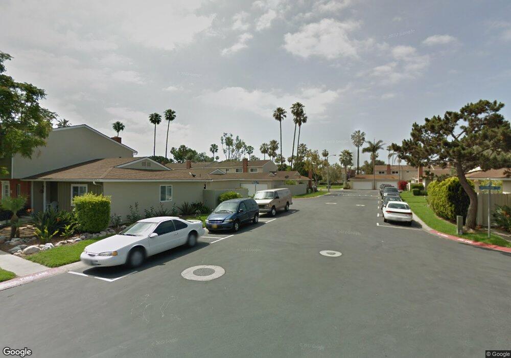
8156 Whitestone Dr Huntington Beach, CA 92646
Southeast NeighborhoodEstimated Value: $888,000 - $1,007,000
3
Beds
2
Baths
1,296
Sq Ft
$721/Sq Ft
Est. Value
About This Home
This home is located at 8156 Whitestone Dr, Huntington Beach, CA 92646 and is currently estimated at $933,837, approximately $720 per square foot. 8156 Whitestone Dr is a home located in Orange County with nearby schools including S.A. Moffett Elementary School, Isaac L. Sowers Middle School, and Edison High School.
Ownership History
Date
Name
Owned For
Owner Type
Purchase Details
Closed on
Aug 15, 2000
Sold by
Dennis Oneil and Dennis Judith N
Bought by
Sanka Allen and Sanka Diane
Current Estimated Value
Home Financials for this Owner
Home Financials are based on the most recent Mortgage that was taken out on this home.
Original Mortgage
$177,750
Outstanding Balance
$63,768
Interest Rate
8.07%
Estimated Equity
$870,069
Create a Home Valuation Report for This Property
The Home Valuation Report is an in-depth analysis detailing your home's value as well as a comparison with similar homes in the area
Home Values in the Area
Average Home Value in this Area
Purchase History
| Date | Buyer | Sale Price | Title Company |
|---|---|---|---|
| Sanka Allen | $237,000 | South Coast Title Company |
Source: Public Records
Mortgage History
| Date | Status | Borrower | Loan Amount |
|---|---|---|---|
| Open | Sanka Allen | $177,750 | |
| Closed | Sanka Allen | $47,400 |
Source: Public Records
Tax History Compared to Growth
Tax History
| Year | Tax Paid | Tax Assessment Tax Assessment Total Assessment is a certain percentage of the fair market value that is determined by local assessors to be the total taxable value of land and additions on the property. | Land | Improvement |
|---|---|---|---|---|
| 2025 | $4,175 | $357,112 | $265,664 | $91,448 |
| 2024 | $4,175 | $350,110 | $260,455 | $89,655 |
| 2023 | $4,078 | $343,246 | $255,348 | $87,898 |
| 2022 | $3,969 | $336,516 | $250,341 | $86,175 |
| 2021 | $3,895 | $329,918 | $245,432 | $84,486 |
| 2020 | $3,868 | $326,536 | $242,916 | $83,620 |
| 2019 | $3,823 | $320,134 | $238,153 | $81,981 |
| 2018 | $3,764 | $313,857 | $233,483 | $80,374 |
| 2017 | $3,712 | $307,703 | $228,904 | $78,799 |
| 2016 | $3,552 | $301,670 | $224,416 | $77,254 |
| 2015 | $3,516 | $297,139 | $221,045 | $76,094 |
| 2014 | $3,441 | $291,319 | $216,715 | $74,604 |
Source: Public Records
Map
Nearby Homes
- 8331 Snowbird Dr
- 8401 Atlanta Ave
- 7993 Aldea Cir
- 7988 Aldea Cir
- 21254 Lorca Cir Unit 51
- 7826 Sailboat Cir Unit 20
- 21032 Shepherd Ln
- 21331 Balerma Ln
- 21131 Greenboro Ln
- 20701 Beach Blvd Unit 128
- 20701 Beach Blvd Unit 65
- 20701 Beach Blvd Unit 142
- 20701 Beach Blvd Unit 285
- 20701 Beach Blvd Unit 30
- 20701 Beach Blvd Unit 107
- 20701 Beach Blvd Unit 251
- 20701 Beach Blvd Unit 200
- 20701 Beach Blvd Unit 103
- 20701 Beach Blvd Unit 298
- 8633 Portola Ct Unit 18G
- 8162 Whitestone Dr
- 8152 Whitestone Dr
- 8166 Whitestone Dr
- 8172 Whitestone Dr
- 8155 Whitestone Dr
- 8161 Whitestone Dr
- 8176 Whitestone Dr
- 8151 Whitestone Dr
- 8165 Whitestone Dr
- 8141 Pennington Dr
- 8171 Whitestone Dr
- 8175 Whitestone Dr
- 8142 Wildwood Cir
- 8135 Pennington Dr
- 8146 Pennington Dr
- 8142 Pennington Dr
- 8136 Wildwood Cir
- 8131 Pennington Dr
- 8136 Pennington Dr
- 8132 Wildwood Cir