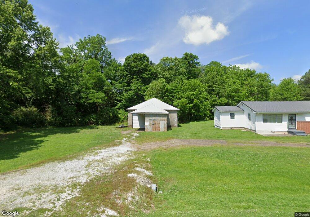
8157 Highway 118 Dukedom, TN 38226
Estimated Value: $102,075 - $152,000
3
Beds
1
Bath
1,080
Sq Ft
$115/Sq Ft
Est. Value
About This Home
This home is located at 8157 Highway 118, Dukedom, TN 38226 and is currently estimated at $124,019, approximately $114 per square foot. 8157 Highway 118 is a home located in Weakley County.
Ownership History
Date
Name
Owned For
Owner Type
Purchase Details
Closed on
Sep 14, 2021
Sold by
Crittendon Ryan
Bought by
Mathis David W and Mathis Belinda Gail
Current Estimated Value
Purchase Details
Closed on
May 15, 2020
Sold by
Crittendon Terry L
Bought by
Crittendon Ryan J
Home Financials for this Owner
Home Financials are based on the most recent Mortgage that was taken out on this home.
Original Mortgage
$37,000
Interest Rate
3.3%
Mortgage Type
New Conventional
Purchase Details
Closed on
Dec 7, 2016
Sold by
Pilla Sam
Bought by
Crittendon Ryan J and Crittendon Terry L
Home Financials for this Owner
Home Financials are based on the most recent Mortgage that was taken out on this home.
Original Mortgage
$27,580
Interest Rate
3.57%
Mortgage Type
New Conventional
Purchase Details
Closed on
Feb 11, 2011
Sold by
Secretary Of Housing
Bought by
Pilla Sam
Purchase Details
Closed on
Jan 7, 2010
Sold by
Wallace Natalie
Bought by
Secretary Of Housing
Purchase Details
Closed on
Oct 19, 2007
Bought by
Wallace Natalie Marie
Purchase Details
Closed on
Apr 21, 2006
Bought by
Pilla Floyd Debbie
Create a Home Valuation Report for This Property
The Home Valuation Report is an in-depth analysis detailing your home's value as well as a comparison with similar homes in the area
Home Values in the Area
Average Home Value in this Area
Purchase History
| Date | Buyer | Sale Price | Title Company |
|---|---|---|---|
| Mathis David W | $60,000 | None Available | |
| Crittendon Ryan J | -- | None Available | |
| Crittendon Ryan J | $30,000 | -- | |
| Pilla Sam | $14,400 | -- | |
| Secretary Of Housing | $59,213 | -- | |
| Wallace Natalie Marie | $50,800 | -- | |
| Pilla Floyd Debbie | $17,000 | -- |
Source: Public Records
Mortgage History
| Date | Status | Borrower | Loan Amount |
|---|---|---|---|
| Previous Owner | Crittendon Ryan J | $37,000 | |
| Previous Owner | Crittendon Ryan J | $27,580 |
Source: Public Records
Tax History Compared to Growth
Tax History
| Year | Tax Paid | Tax Assessment Tax Assessment Total Assessment is a certain percentage of the fair market value that is determined by local assessors to be the total taxable value of land and additions on the property. | Land | Improvement |
|---|---|---|---|---|
| 2024 | $350 | $25,575 | $3,325 | $22,250 |
| 2023 | $350 | $25,575 | $3,325 | $22,250 |
| 2022 | $228 | $11,575 | $2,250 | $9,325 |
| 2021 | $228 | $11,575 | $2,250 | $9,325 |
| 2020 | $188 | $11,575 | $2,250 | $9,325 |
| 2019 | $188 | $9,525 | $1,175 | $8,350 |
| 2018 | $188 | $9,525 | $1,175 | $8,350 |
| 2017 | $199 | $9,325 | $1,025 | $8,300 |
| 2016 | $199 | $9,325 | $0 | $0 |
| 2015 | $199 | $9,327 | $0 | $0 |
| 2014 | $199 | $9,327 | $0 | $0 |
Source: Public Records
Map
Nearby Homes
- 7991 Tennessee 118
- 00 Works Rd
- 4500 Austin Springs Rd
- 00 Kentucky 94
- 2471 State Route 94 W
- 0
- 380 State Line Rd
- 0 Buck Mason Rd Unit Map 015, Parcel 007.
- 5064 Tennessee 118
- 00 Workman Cemetery Rd
- 0 Workman Cemetery Rd
- 9627 E State Line
- 16131 State Route 45 S
- 000 Wray Rd Unit (Graves Co. KY 42.25
- 1800 Wray Rd
- 1800 Wray Rd Unit (Graves Co. KY 13.5)
- 1800 Wray Rd Unit (Graves Co. KY 55.75
- Wray Rd Unit LotWP001
- 616 Stewart Rd
- 0 Boydsville Rd
- 8169 Highway 118
- 8191 Highway 118
- 8156 Highway 118
- 8168 Highway 118
- 8172 Highway 118
- 8123 Highway 118
- 8123 Highway 118
- 8134 Highway 118
- 8180 Highway 118
- 8203 Highway 118
- 8108 Highway 118
- 8100 Highway 118
- 3620 State Line Rd
- 3600 State Line Rd
- 3722 State Line Rd
- 3716 State Line Rd
- 3742 State Line Rd
- 10044 State Route 129
- 8103 Tennessee 118
- 3770 State Line Rd