816 E Allen Ct Au Gres, MI 48703
Estimated Value: $197,000 - $325,000
4
Beds
2
Baths
--
Sq Ft
0.54
Acres
About This Home
This home is located at 816 E Allen Ct, Au Gres, MI 48703 and is currently estimated at $254,876. 816 E Allen Ct is a home located in Arenac County with nearby schools including Au Gres-Sims Elementary School, Perry Co Voc Complex, and Au Gres-Sims Middle/High School.
Ownership History
Date
Name
Owned For
Owner Type
Purchase Details
Closed on
Nov 9, 2017
Sold by
Ososki Melissa M and Ososki Scott P
Bought by
Sylvester Janice and Sylvester Mark A
Current Estimated Value
Home Financials for this Owner
Home Financials are based on the most recent Mortgage that was taken out on this home.
Original Mortgage
$124,000
Outstanding Balance
$101,745
Interest Rate
3.91%
Mortgage Type
Purchase Money Mortgage
Estimated Equity
$153,131
Purchase Details
Closed on
Mar 8, 2017
Sold by
American Real Estate And Leasing Group L
Bought by
Armstrong Dennis and Armstrong Marsha
Purchase Details
Closed on
Feb 28, 2013
Sold by
Ososki Scott P and Ososki Melissa M
Bought by
Ososki Scott P and Ososki Melissa M
Home Financials for this Owner
Home Financials are based on the most recent Mortgage that was taken out on this home.
Original Mortgage
$111,000
Interest Rate
3.49%
Create a Home Valuation Report for This Property
The Home Valuation Report is an in-depth analysis detailing your home's value as well as a comparison with similar homes in the area
Purchase History
| Date | Buyer | Sale Price | Title Company |
|---|---|---|---|
| Sylvester Janice | $11,100 | None Available | |
| Armstrong Dennis | -- | None Available | |
| Ososki Scott P | -- | -- |
Source: Public Records
Mortgage History
| Date | Status | Borrower | Loan Amount |
|---|---|---|---|
| Open | Sylvester Janice | $124,000 | |
| Previous Owner | Ososki Scott P | $111,000 |
Source: Public Records
Tax History Compared to Growth
Tax History
| Year | Tax Paid | Tax Assessment Tax Assessment Total Assessment is a certain percentage of the fair market value that is determined by local assessors to be the total taxable value of land and additions on the property. | Land | Improvement |
|---|---|---|---|---|
| 2025 | $3,269 | $115,700 | $0 | $0 |
| 2024 | $1,993 | $115,100 | $0 | $0 |
| 2023 | $1,910 | $96,600 | $0 | $0 |
| 2022 | $4,068 | $72,200 | $0 | $0 |
| 2021 | $3,898 | $71,700 | $0 | $0 |
| 2020 | $3,807 | $65,700 | $0 | $0 |
| 2019 | $3,576 | $59,700 | $0 | $0 |
| 2018 | $4,567 | $75,900 | $0 | $0 |
| 2017 | $0 | $67,700 | $0 | $0 |
| 2016 | $2,073 | $87,700 | $0 | $0 |
| 2015 | $672 | $75,400 | $0 | $0 |
| 2014 | $672 | $82,200 | $0 | $0 |
| 2013 | $2,970 | $82,200 | $0 | $0 |
Source: Public Records
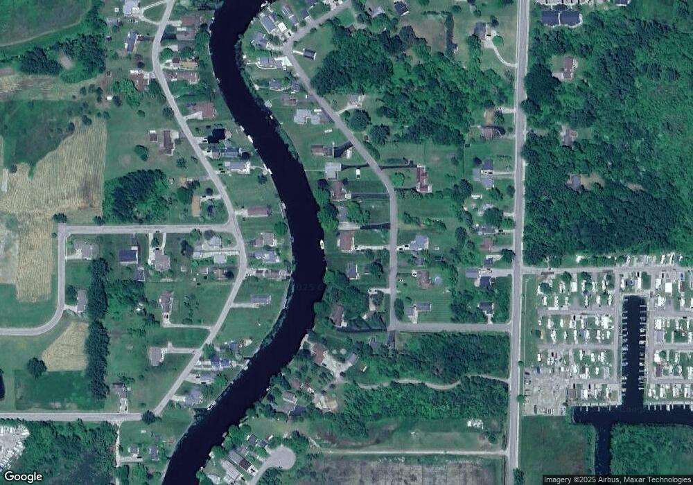
Map
Nearby Homes
- 1780 S Riverside Dr
- 2923 E Midshipman Dr
- N/A South St
- N/A Midshipman Dr
- 806 S Augres River Dr
- 3093 E Midshipman Dr
- 831 Main Unit 220 St Unit 220
- 0 S Court St Unit 3 1915631
- 0 S Court St Unit 1 1915629
- 0 S Court St Unit 17 1915635
- 0 S Court St Unit 20 1915637
- 0 S Court St Unit 2 1915630
- 0 S Court St Unit 18 1915636
- 549 S Detroit St
- 3129 E Midshipman Dr
- 831 S Main St
- 831 S Main St Unit 105 St
- 1840 S Riverside Dr
- 534 S Main St
- 2090 S Green Dr
- 1666 S Riverside Dr
- 1774 S Riverside Dr
- 1674 S Riverside Dr
- 717 S Augres River Dr
- 1674 S Riverside Dr
- 1639 Ken Dr
- 1652 S Riverside Dr
- 1736 S Riverside Dr
- 832 E Allen Ct
- 1696 S Riverside Dr
- 706 S Augres River Dr
- 808 E Allen Ct
- 805 S Starboard
- 1716 S Riverside Dr
- 1720 S Riverside Dr
- 797 S Court St
- 1809 S Riverside Dr
- 1661 Ken Dr
- 1690 S Riverside Dr
- 1704 S Riverside Dr