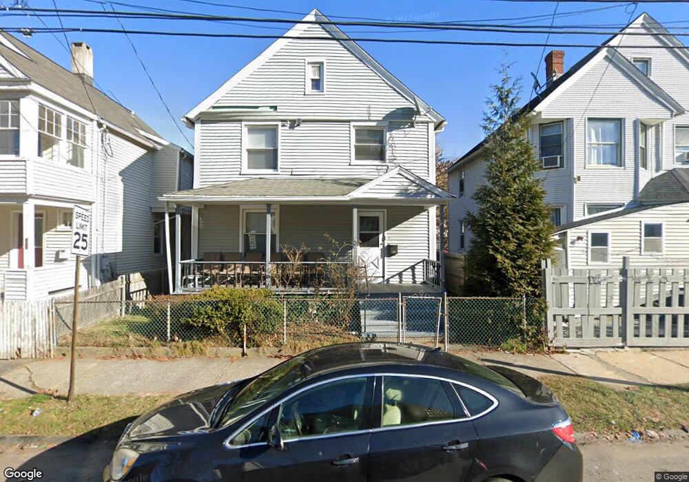
816 Norman St Bridgeport, CT 06605
West End-West Side NeighborhoodEstimated Value: $286,000 - $339,011
3
Beds
2
Baths
1,680
Sq Ft
$184/Sq Ft
Est. Value
About This Home
This home is located at 816 Norman St, Bridgeport, CT 06605 and is currently estimated at $309,503, approximately $184 per square foot. 816 Norman St is a home located in Fairfield County with nearby schools including James J. Curiale School, Bassick High School, and Catholic Academy of Bridgeport-St. Raphael Academy.
Ownership History
Date
Name
Owned For
Owner Type
Purchase Details
Closed on
Jul 11, 2007
Sold by
Alvarado Jose and Alvarado Gloria
Bought by
Johnson Sherrie
Current Estimated Value
Home Financials for this Owner
Home Financials are based on the most recent Mortgage that was taken out on this home.
Original Mortgage
$136,000
Outstanding Balance
$88,276
Interest Rate
7.25%
Estimated Equity
$221,227
Create a Home Valuation Report for This Property
The Home Valuation Report is an in-depth analysis detailing your home's value as well as a comparison with similar homes in the area
Home Values in the Area
Average Home Value in this Area
Purchase History
| Date | Buyer | Sale Price | Title Company |
|---|---|---|---|
| Johnson Sherrie | $170,000 | -- | |
| Johnson Sherrie | $170,000 | -- |
Source: Public Records
Mortgage History
| Date | Status | Borrower | Loan Amount |
|---|---|---|---|
| Open | Johnson Sherrie | $136,000 | |
| Closed | Johnson Sherrie | $136,000 | |
| Previous Owner | Johnson Sherrie | $10,500 | |
| Previous Owner | Johnson Sherrie | $40,300 |
Source: Public Records
Tax History Compared to Growth
Tax History
| Year | Tax Paid | Tax Assessment Tax Assessment Total Assessment is a certain percentage of the fair market value that is determined by local assessors to be the total taxable value of land and additions on the property. | Land | Improvement |
|---|---|---|---|---|
| 2025 | $5,237 | $120,540 | $38,460 | $82,080 |
| 2024 | $5,237 | $120,540 | $38,460 | $82,080 |
| 2023 | $5,237 | $120,540 | $38,460 | $82,080 |
| 2022 | $5,237 | $120,540 | $38,460 | $82,080 |
| 2021 | $5,237 | $120,540 | $38,460 | $82,080 |
| 2020 | $5,009 | $92,770 | $23,310 | $69,460 |
| 2019 | $5,009 | $92,770 | $23,310 | $69,460 |
| 2018 | $5,044 | $92,770 | $23,310 | $69,460 |
| 2017 | $5,044 | $92,770 | $23,310 | $69,460 |
| 2016 | $5,044 | $92,770 | $23,310 | $69,460 |
| 2015 | $5,198 | $123,170 | $35,260 | $87,910 |
| 2014 | $5,198 | $123,170 | $35,260 | $87,910 |
Source: Public Records
Map
Nearby Homes
- 826 Norman St
- 1373 Iranistan Ave
- 414 Wood Ave
- 60 Olive St
- 566 Wood Ave
- 592 Norman St Unit 594
- 700 Laurel Ave
- 1872 North Ave Unit 1874
- 1199 Iranistan Ave Unit 1201
- 697 Laurel Ave
- 393 Laurel Ave Unit 203
- 393 Laurel Ave Unit 415
- 309 Pequonnock St
- 687 Wood Ave
- 670 Clinton Ave
- 200 Harral Ave
- 184 Pacific St
- 533 Clinton Ave
- 100 Lorraine St
- 357 Norman St
- 808 Norman St
- 802 Norman St
- 794 Norman St
- 94 Brothwell St
- 815 Norman St
- 809 Norman St
- 788 Norman St
- 66 Brothwell St
- 54 Brothwell St Unit 56
- 799 Norman St Unit 803
- 793 Norman St Unit 795
- 782 Norman St
- 782 Norman St
- 782 Norman St Unit 1227 Iranistan Av
- 787 Norman St Unit 789
- 787 Norman St Unit 2.5
- 215 Maplewood Ave
- 781 Norman St Unit 783
- 776 Norman St
- 773 Norman St Unit 775