Estimated Value: $369,000 - $820,000
3
Beds
3
Baths
1,736
Sq Ft
$337/Sq Ft
Est. Value
About This Home
This home is located at 816 W Sand Point Rd, Mead, OK 73449 and is currently estimated at $584,522, approximately $336 per square foot. 816 W Sand Point Rd is a home located in Bryan County with nearby schools including Silo Early Childhood Center, Silo Elementary School, and Silo Middle School.
Ownership History
Date
Name
Owned For
Owner Type
Purchase Details
Closed on
Jun 14, 2016
Sold by
United States Of America
Bought by
Rupe Terry
Current Estimated Value
Purchase Details
Closed on
Jun 20, 2006
Sold by
Barrett Scott M and Barrett Scott
Bought by
Barrett Enterprises Llc
Purchase Details
Closed on
Jun 30, 1995
Sold by
Phillips Phillips J and Phillips Patsy R
Bought by
Mc Call, Louise Rev Trust
Purchase Details
Closed on
Jul 29, 1993
Sold by
Cochran Robert M and Cochran Cindy
Bought by
Phillips Jb and Phillips Patsy
Create a Home Valuation Report for This Property
The Home Valuation Report is an in-depth analysis detailing your home's value as well as a comparison with similar homes in the area
Home Values in the Area
Average Home Value in this Area
Purchase History
| Date | Buyer | Sale Price | Title Company |
|---|---|---|---|
| Rupe Terry | -- | None Available | |
| Barrett Enterprises Llc | -- | None Available | |
| Mc Call, Louise Rev Trust | -- | -- | |
| Phillips Jb | $85,000 | -- |
Source: Public Records
Tax History Compared to Growth
Tax History
| Year | Tax Paid | Tax Assessment Tax Assessment Total Assessment is a certain percentage of the fair market value that is determined by local assessors to be the total taxable value of land and additions on the property. | Land | Improvement |
|---|---|---|---|---|
| 2025 | $2,808 | $35,209 | $24,898 | $10,311 |
| 2024 | $2,808 | $34,184 | $24,173 | $10,011 |
| 2023 | $2,808 | $33,189 | $23,564 | $9,625 |
| 2022 | $2,645 | $32,222 | $22,942 | $9,280 |
| 2021 | $2,501 | $31,283 | $22,274 | $9,009 |
| 2020 | $2,438 | $30,372 | $21,625 | $8,747 |
| 2019 | $2,402 | $29,488 | $20,996 | $8,492 |
| 2018 | $2,339 | $28,629 | $11,550 | $17,079 |
| 2017 | $777 | $11,551 | $4,660 | $6,891 |
| 2016 | $810 | $11,000 | $11,000 | $0 |
| 2015 | $736 | $11,000 | $11,000 | $0 |
| 2014 | $840 | $12,415 | $2,750 | $9,665 |
Source: Public Records
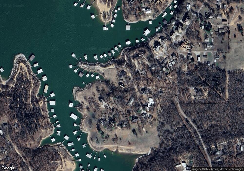
Map
Nearby Homes
- 802 W Sand Point Rd
- 0 S Texoma Rd
- 429 N Sand Point Rd
- 200 Sunset Cove
- 180 Sunset Cove
- 426 White Dr
- 0 N Sand Point Rd
- 320 Sunset Way
- 280 Sunset Way
- 300 Sunset Way
- 342 Sunset Way
- 364 Sunset Way
- 198 Texoma Dr
- 0 E Sophia Loop Unit 20251214
- 1409 Streetman Rd
- 45 W Sophia Loop
- 36 Flounder Rd
- 65 Bass Dr
- 75 Perch Dr
- 14 Red Fish Dr
- 961 Sand Point Rd
- 855 W Sand Point Rd
- 927 W Sand Point Rd
- 885 W Sand Point Rd
- 915 W Sand Point Rd
- 739 W Sand Point Rd
- 61 E Greer Ln
- 871 W Sand Point Rd
- 709 W Sand Point Rd
- 25 S Texoma Rd
- 698 W Sand Point Rd
- 695 W Sand Point Rd
- 71 S Texoma Rd
- 139 S Texoma Rd
- 61 S Texoma Rd
- 655 W Sand Point Rd
- 33 S Texoma Rd
- 483 N Sand Point Rd
- 0 Hills Rd
- 509 N Sand Point Rd