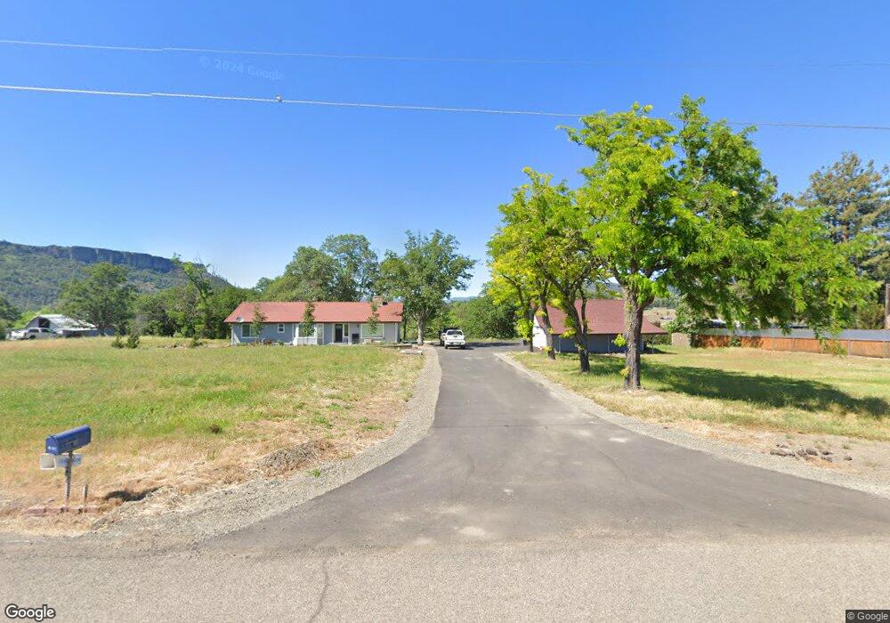
8161 High Banks Rd Central Point, OR 97502
Estimated Value: $539,681 - $587,000
3
Beds
3
Baths
1,826
Sq Ft
$304/Sq Ft
Est. Value
About This Home
This home is located at 8161 High Banks Rd, Central Point, OR 97502 and is currently estimated at $555,560, approximately $304 per square foot. 8161 High Banks Rd is a home located in Jackson County with nearby schools including Jewett Elementary School, Scenic Middle School, and Crater High School.
Ownership History
Date
Name
Owned For
Owner Type
Purchase Details
Closed on
Apr 30, 2010
Sold by
Sowers Joseph E
Bought by
8161 High Banks Road Llc
Current Estimated Value
Purchase Details
Closed on
Jan 31, 1995
Sold by
Powers Warren H
Bought by
Freidel Bud F and Freidel Dorothy Sue
Create a Home Valuation Report for This Property
The Home Valuation Report is an in-depth analysis detailing your home's value as well as a comparison with similar homes in the area
Home Values in the Area
Average Home Value in this Area
Purchase History
| Date | Buyer | Sale Price | Title Company |
|---|---|---|---|
| 8161 High Banks Road Llc | $250,000 | Fa | |
| Freidel Bud F | $124,000 | -- |
Source: Public Records
Tax History Compared to Growth
Tax History
| Year | Tax Paid | Tax Assessment Tax Assessment Total Assessment is a certain percentage of the fair market value that is determined by local assessors to be the total taxable value of land and additions on the property. | Land | Improvement |
|---|---|---|---|---|
| 2025 | $4,396 | $366,730 | $119,740 | $246,990 |
| 2024 | $4,396 | $356,050 | $116,260 | $239,790 |
| 2023 | $4,249 | $345,680 | $112,870 | $232,810 |
| 2022 | $4,160 | $345,680 | $112,870 | $232,810 |
| 2021 | $4,042 | $335,620 | $109,590 | $226,030 |
| 2020 | $3,924 | $325,850 | $106,390 | $219,460 |
| 2019 | $3,834 | $307,150 | $100,280 | $206,870 |
| 2018 | $3,715 | $298,210 | $97,360 | $200,850 |
| 2017 | $3,627 | $298,210 | $97,360 | $200,850 |
| 2016 | $3,521 | $281,100 | $91,770 | $189,330 |
| 2015 | $3,387 | $281,100 | $91,770 | $189,330 |
| 2014 | $3,237 | $264,980 | $86,500 | $178,480 |
Source: Public Records
Map
Nearby Homes
- 6199 Wilson Ln
- 6850 Downing Rd Unit 44
- 6850 Downing Rd Unit 65
- 644 Raven
- 6251 Ventura Ln
- 4223 Merita Terrace
- 4413 Merita Terrace
- 6048 Tolo Rd
- 10695 Killdee Ave
- 8785 Blackwell Rd Unit North Side
- 8785 Blackwell Rd Unit South Side
- 8785 Blackwell Rd
- 335 Applewood Dr
- 6169 Tamarack Ln
- 4035 Rock Way
- 413 Sand Pointe Dr
- 422 Castle Rock Dr
- 356 Marian Ave Unit 40
- 2035 Rabun Way
- 327 Brookhaven Dr
- 8201 High Banks Rd
- 8085 High Banks Rd
- 8045 High Banks Rd
- 7956 High Banks Rd
- 8027 High Banks Rd
- 7995 High Banks Rd
- 7967 High Banks Rd
- 7521 High Banks Rd
- 9566 Old Stage Rd Unit 15
- 0 John Wayne Dr Unit 100265148
- 0 John Wayne Dr Unit 100265153
- 0 John Wayne Dr Unit 100265151
- 0 John Wayne Dr Unit 100265152
- 0 Scenic Ave Unit 100205813
- 0 John Wayne Dr Unit Lot 6 102603134
- 0 John Wayne Dr Unit 5 102722674
- 0 John Wayne Dr Unit 7 102722669
- 0 John Wayne Dr Unit 3 102722666
- 0 Mcdonough Rd Unit 102711476
- 0 John Wayne Dr Unit Lot 7 102603143