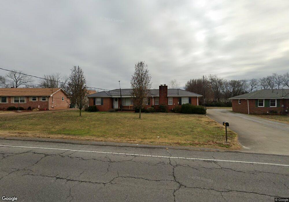
817 Castle Heights Ave Lebanon, TN 37087
Estimated Value: $333,000 - $364,000
--
Bed
3
Baths
1,814
Sq Ft
$193/Sq Ft
Est. Value
About This Home
This home is located at 817 Castle Heights Ave, Lebanon, TN 37087 and is currently estimated at $350,999, approximately $193 per square foot. 817 Castle Heights Ave is a home located in Wilson County with nearby schools including Byars Dowdy Elementary School, Winfree Bryant Middle School, and Lebanon High School.
Ownership History
Date
Name
Owned For
Owner Type
Purchase Details
Closed on
Jan 10, 2023
Sold by
Chambers Dorothy Ann
Bought by
Sg Holding Inc
Current Estimated Value
Home Financials for this Owner
Home Financials are based on the most recent Mortgage that was taken out on this home.
Original Mortgage
$235,900
Outstanding Balance
$218,836
Interest Rate
6.33%
Mortgage Type
Construction
Estimated Equity
$132,163
Purchase Details
Closed on
Apr 4, 1904
Bought by
Chambers Robert C and Dorothy Ann
Create a Home Valuation Report for This Property
The Home Valuation Report is an in-depth analysis detailing your home's value as well as a comparison with similar homes in the area
Home Values in the Area
Average Home Value in this Area
Purchase History
| Date | Buyer | Sale Price | Title Company |
|---|---|---|---|
| Sg Holding Inc | $337,000 | -- | |
| Chambers Robert C | -- | -- |
Source: Public Records
Mortgage History
| Date | Status | Borrower | Loan Amount |
|---|---|---|---|
| Open | Sg Holding Inc | $235,900 |
Source: Public Records
Tax History Compared to Growth
Tax History
| Year | Tax Paid | Tax Assessment Tax Assessment Total Assessment is a certain percentage of the fair market value that is determined by local assessors to be the total taxable value of land and additions on the property. | Land | Improvement |
|---|---|---|---|---|
| 2024 | $1,233 | $55,875 | $11,250 | $44,625 |
| 2022 | $1,617 | $55,925 | $11,250 | $44,675 |
| 2021 | $1,617 | $55,925 | $11,250 | $44,675 |
| 2020 | $1,255 | $55,925 | $11,250 | $44,675 |
| 2019 | $286 | $33,375 | $6,550 | $26,825 |
| 2018 | $1,172 | $33,375 | $6,550 | $26,825 |
| 2017 | $1,172 | $33,375 | $6,550 | $26,825 |
| 2016 | $1,172 | $33,375 | $6,550 | $26,825 |
| 2015 | $1,211 | $33,375 | $6,550 | $26,825 |
| 2014 | $1,145 | $31,571 | $0 | $0 |
Source: Public Records
Map
Nearby Homes
- 118 Castlewood Ln
- 400 Castlewood Ln
- 200 Castlewood Ln
- 908 Long Leaf Rd
- 319 June Dr
- 721 Kent Dr
- 719 Kent Dr
- 717 Kent Dr
- 715 Kent Dr
- 713 Kent Dr
- 715 Fields Ln
- 620 Franklin Rd
- 100 Maple View Dr
- 120 Holloway Dr
- 114 Hankins Dr
- 116 Maple View Rd
- 113 Holloway Dr
- 425 Tuckers Gap Rd
- 0 Franklin Rd Unit RTC3041471
- 1106 Somerset Dr
- 819 Castle Heights Ave
- 815 Castle Heights Ave
- 418 Castlewood Ln
- 821 Castle Heights Ave
- 414 Castlewood Ln
- 813 Castle Heights Ave
- 114 Castlewood Ln
- 412 Castlewood Ln
- 420 Castlewood Ln
- 112 Castlewood Ln
- 422 Castlewood Ln
- 110 Castlewood Ln
- 410 Castlewood Ln
- 816 Castle Heights Ave
- 818 Castle Heights Ave
- 820 Castle Heights Ave
- 823 Castle Heights Ave
- 108 Castlewood Ln
- 408 Castlewood Ln
- 812 Kent Dr