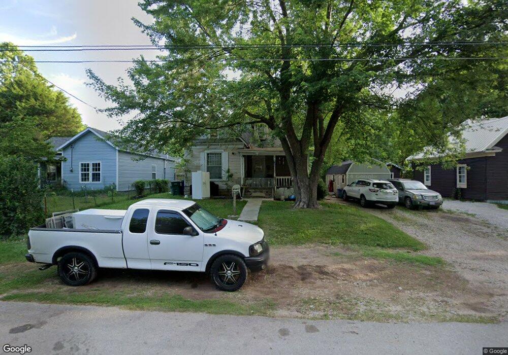
817 W Locust St Springfield, MO 65803
Woodland Heights NeighborhoodEstimated Value: $116,000 - $148,000
3
Beds
1
Bath
1,608
Sq Ft
$85/Sq Ft
Est. Value
About This Home
This home is located at 817 W Locust St, Springfield, MO 65803 and is currently estimated at $136,175, approximately $84 per square foot. 817 W Locust St is a home located in Greene County with nearby schools including Weaver Elementary School, Pipkin Middle School, and Central High School.
Ownership History
Date
Name
Owned For
Owner Type
Purchase Details
Closed on
Dec 19, 2023
Sold by
Midamerican Real Estate Llc
Bought by
Hg & J Holdings Llc
Current Estimated Value
Purchase Details
Closed on
Aug 31, 2018
Sold by
Streamline Investors Llc
Bought by
Midamerican Real Estate Llc
Purchase Details
Closed on
Sep 24, 2014
Sold by
Dal Megan and Dail Dean
Bought by
Dail Megan and Dail Sean
Purchase Details
Closed on
Oct 18, 2007
Sold by
Tracy Ceborn Lewis and Tracy Norma C
Bought by
Tracy Norma C and Tracy Caborn Lewis
Create a Home Valuation Report for This Property
The Home Valuation Report is an in-depth analysis detailing your home's value as well as a comparison with similar homes in the area
Home Values in the Area
Average Home Value in this Area
Purchase History
| Date | Buyer | Sale Price | Title Company |
|---|---|---|---|
| Hg & J Holdings Llc | -- | None Listed On Document | |
| Midamerican Real Estate Llc | -- | None Available | |
| Dail Megan | -- | None Available | |
| Tracy Norma C | -- | None Available |
Source: Public Records
Tax History
| Year | Tax Paid | Tax Assessment Tax Assessment Total Assessment is a certain percentage of the fair market value that is determined by local assessors to be the total taxable value of land and additions on the property. | Land | Improvement |
|---|---|---|---|---|
| 2025 | $585 | $11,750 | $3,330 | $8,420 |
| 2024 | $498 | $9,280 | $2,000 | $7,280 |
| 2023 | $495 | $9,280 | $2,000 | $7,280 |
| 2022 | $501 | $9,180 | $2,000 | $7,180 |
| 2021 | $501 | $9,180 | $2,000 | $7,180 |
| 2020 | $517 | $9,050 | $2,000 | $7,050 |
| 2019 | $502 | $9,050 | $2,000 | $7,050 |
| 2018 | $434 | $7,830 | $2,000 | $5,830 |
| 2017 | $430 | $7,890 | $2,000 | $5,890 |
| 2016 | $432 | $7,890 | $2,000 | $5,890 |
| 2015 | $428 | $7,890 | $2,000 | $5,890 |
| 2014 | $432 | $7,890 | $2,000 | $5,890 |
Source: Public Records
Map
Nearby Homes
- 1512 N Missouri Ave
- 716 W Division St
- 1502 N Grant Ave
- 944 W Division St
- 612 W Pacific St
- 1026 W Commercial St
- 1042 W Commercial St
- 1056 W Commercial St
- 521 W Locust St
- 1027 W Division St
- 1447 N Broadway Ave
- 1105 W Division St
- 1863 N Grant Ave
- 1851 N Main Ave
- 1890 N Douglas Ave
- 1132 W Division St
- 1318 N Douglas Ave
- 1149 W Hovey St
- 835 N Campbell Ave
- 1305 N Irving Ave
- 811 W Locust St
- 821 W Locust St
- 1616 N Missouri Ave
- 805 W Locust St
- 1617 N Douglas Ave
- 801 W Locust St
- 1622 N Missouri Ave
- 1621 N Douglas Ave
- 820 W Locust St
- 1605 N Missouri Ave
- 1626 N Missouri Ave
- 816 W Locust St
- 804 W Locust St
- 810 W Locust St
- 800 W Locust St
- 1613 N Missouri Ave
- 1629 N Douglas Ave
- 1629 N Douglas Ave Unit 1 & 2
- 1615 N Missouri Ave
- 1632 N Missouri Ave
Your Personal Tour Guide
Ask me questions while you tour the home.