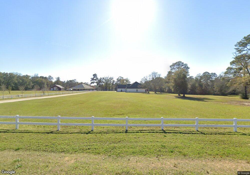
8172 Mobile Hwy Unit A Pensacola, FL 32526
Beulah NeighborhoodEstimated Value: $862,000 - $1,324,549
--
Bed
6
Baths
8,000
Sq Ft
$138/Sq Ft
Est. Value
About This Home
This home is located at 8172 Mobile Hwy Unit A, Pensacola, FL 32526 and is currently estimated at $1,102,850, approximately $137 per square foot. 8172 Mobile Hwy Unit A is a home located in Escambia County with nearby schools including Beulah Elementary School, Beulah Middle School, and Pine Forest High School.
Ownership History
Date
Name
Owned For
Owner Type
Purchase Details
Closed on
Aug 2, 2012
Sold by
Gordon Brenda and Gordon Kent L
Bought by
Eichelberg Dustin M and Eichelberg Kari L
Current Estimated Value
Home Financials for this Owner
Home Financials are based on the most recent Mortgage that was taken out on this home.
Original Mortgage
$296,250
Outstanding Balance
$205,035
Interest Rate
3.65%
Mortgage Type
New Conventional
Estimated Equity
$897,815
Create a Home Valuation Report for This Property
The Home Valuation Report is an in-depth analysis detailing your home's value as well as a comparison with similar homes in the area
Home Values in the Area
Average Home Value in this Area
Purchase History
| Date | Buyer | Sale Price | Title Company |
|---|---|---|---|
| Eichelberg Dustin M | $395,000 | Surety Land Title Of Fl Inc | |
| Gordon Brenda | -- | Surety Land Title Of Fl Llc |
Source: Public Records
Mortgage History
| Date | Status | Borrower | Loan Amount |
|---|---|---|---|
| Open | Eichelberg Dustin M | $296,250 |
Source: Public Records
Tax History Compared to Growth
Tax History
| Year | Tax Paid | Tax Assessment Tax Assessment Total Assessment is a certain percentage of the fair market value that is determined by local assessors to be the total taxable value of land and additions on the property. | Land | Improvement |
|---|---|---|---|---|
| 2024 | $7,097 | $641,635 | -- | -- |
| 2023 | $7,097 | $565,860 | $0 | $0 |
| 2022 | $6,947 | $549,379 | $0 | $0 |
| 2021 | $6,960 | $533,378 | $0 | $0 |
| 2020 | $6,757 | $526,014 | $0 | $0 |
| 2019 | $6,653 | $514,188 | $0 | $0 |
| 2018 | $6,657 | $504,601 | $0 | $0 |
| 2017 | $6,655 | $494,223 | $0 | $0 |
| 2016 | $6,623 | $484,058 | $0 | $0 |
| 2015 | $6,657 | $480,694 | $0 | $0 |
| 2014 | $6,680 | $476,879 | $0 | $0 |
Source: Public Records
Map
Nearby Homes
- 8129 Mobile Hwy
- 8124 Mobile Hwy
- 9511 Crimson Pointe Cir
- 9528 Crimson Pointe Cir
- 6031 Crimson Pointe Blvd
- 5900 BLK Beulah Church Rd
- 8251 Mobile Hwy
- 8415 Beulah Rd
- 8271 Mobile Hwy
- 9687 Angel Oak Dr
- 9691 Angel Oak Dr
- 9699 Angel Oak Dr
- 7348 Lakeside Oak Ct
- 5992 Huntington Creek Blvd
- 7555 Oak Lake Blvd
- 6044 Huntington Creek Blvd
- 5936 Huntington Creek Blvd
- 9454 Lutoo Ln
- 7507 Oak Lake Blvd
- 6067 Huntington Creek Blvd
- 8172 Mobile Hwy
- 8145 Mobile Hwy
- 8191 Mobile Hwy
- 8144 Mobile Hwy
- 8139 Mobile Hwy
- 8137 Mobile Hwy
- 8135 Mobile Hwy
- 8176 Mobile Hwy
- 8166 Mobile Hwy
- 8133 Mobile Hwy
- 8138 Mobile Hwy
- 8136 Mobile Hwy
- 8815 Rebel Rd
- 8131 Mobile Hwy
- 8775 Rebel Rd
- 8134 Mobile Hwy
- 8729 Rebel Rd
- 8733 Rebel Rd
- 8132 Mobile Hwy
- 8130 Mobile Hwy