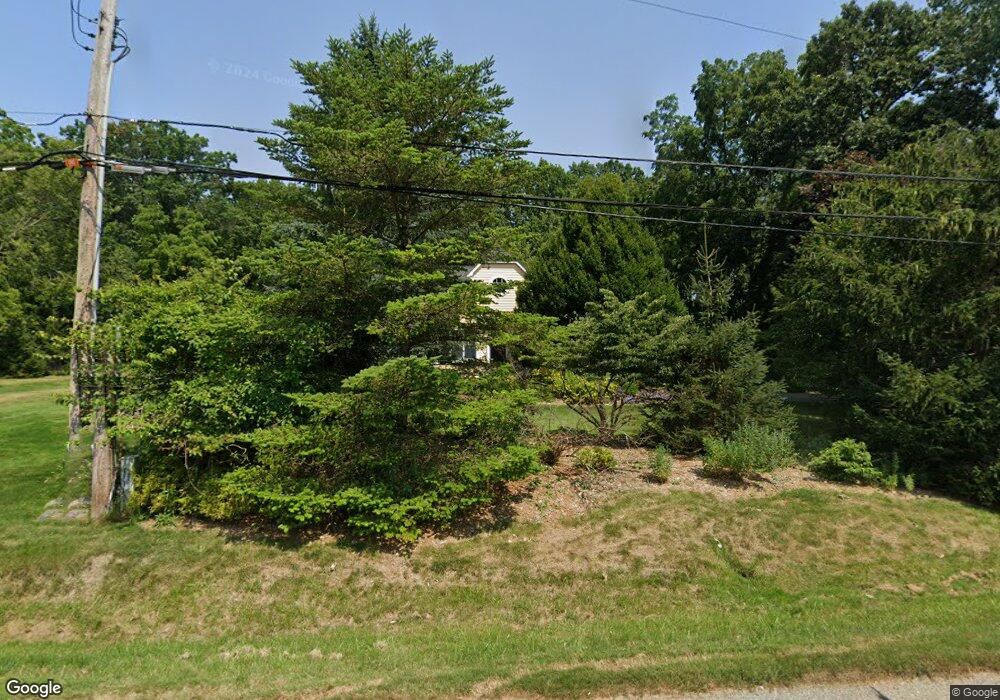
8172 Stout Ave Grosse Ile, MI 48138
Estimated Value: $287,384 - $414,000
--
Bed
1
Bath
1,524
Sq Ft
$231/Sq Ft
Est. Value
About This Home
This home is located at 8172 Stout Ave, Grosse Ile, MI 48138 and is currently estimated at $351,596, approximately $230 per square foot. 8172 Stout Ave is a home located in Wayne County.
Ownership History
Date
Name
Owned For
Owner Type
Purchase Details
Closed on
Nov 2, 2016
Sold by
Summers Robert W and Campbell Kathleen M
Bought by
The Kathleen M Campbell Revocable Living
Current Estimated Value
Purchase Details
Closed on
Jan 28, 2014
Sold by
Summers Robert W and Campbell Kathleen M
Bought by
The Robert W Summers & Kathleen M Campbe
Purchase Details
Closed on
Nov 28, 2007
Sold by
Summers Robert W
Bought by
Summers Robert W
Create a Home Valuation Report for This Property
The Home Valuation Report is an in-depth analysis detailing your home's value as well as a comparison with similar homes in the area
Home Values in the Area
Average Home Value in this Area
Purchase History
| Date | Buyer | Sale Price | Title Company |
|---|---|---|---|
| The Kathleen M Campbell Revocable Living | -- | None Available | |
| Summers Robert W | -- | Accommodation | |
| The Robert W Summers & Kathleen M Campbe | -- | None Available | |
| Summers Robert W | -- | None Available |
Source: Public Records
Tax History Compared to Growth
Tax History
| Year | Tax Paid | Tax Assessment Tax Assessment Total Assessment is a certain percentage of the fair market value that is determined by local assessors to be the total taxable value of land and additions on the property. | Land | Improvement |
|---|---|---|---|---|
| 2025 | $1,635 | $143,500 | $0 | $0 |
| 2024 | $1,635 | $134,600 | $0 | $0 |
| 2023 | $1,870 | $119,600 | $0 | $0 |
| 2022 | $4,352 | $108,500 | $0 | $0 |
| 2021 | $4,163 | $104,000 | $0 | $0 |
| 2019 | $4,128 | $94,200 | $0 | $0 |
| 2018 | $1,775 | $93,500 | $0 | $0 |
| 2017 | $4,585 | $90,000 | $0 | $0 |
| 2016 | $4,057 | $90,700 | $0 | $0 |
| 2015 | $8,640 | $88,600 | $0 | $0 |
| 2013 | $8,370 | $86,500 | $0 | $0 |
| 2012 | $1,732 | $82,100 | $33,800 | $48,300 |
Source: Public Records
Map
Nearby Homes
- 22015 Ember Ct
- 8232 Island Blvd
- 7806 Island Blvd
- 8614 Island Blvd
- 22220 E River Rd
- 21599 Parke Ln
- 8258 Concord Rd
- 21644 Knudsen Dr
- 21604 E River Rd
- 22133 Meridian Rd
- 9281 Island Dr
- 21819 Meridian Rd
- 8855 Ferry Rd
- Lot 503 Gi Pkwy
- 00000 Magnolia Ln
- VACANT Oriole Ave
- 9000 Ferry Rd
- 8842 Thorntree Dr
- 0 Ferry Rd Unit 20250033371
- 21321 Knudsen Dr
- 8190 Stout Ave
- 8348 Stout Ave
- 22069 Ember Ct
- 22069 Ember Ct
- 22069 Ember Ct
- 22069 Ember Ct
- 21985 Ember Ct
- 22069 Ember Ct
- 8160 Stout Ave
- 8372 Stout Ave
- 8255 Stout Ave
- 8337 Stout Ave
- 8199 Stout Ave
- 8148 Stout Ave
- 8345 Stout Ave
- 8175 Stout Ave
- 22015 Ember Ct Unit Bldg-Unit
- 21959 Ember Ct
- 8426 Stout Ave
- 8016 Stout Ave