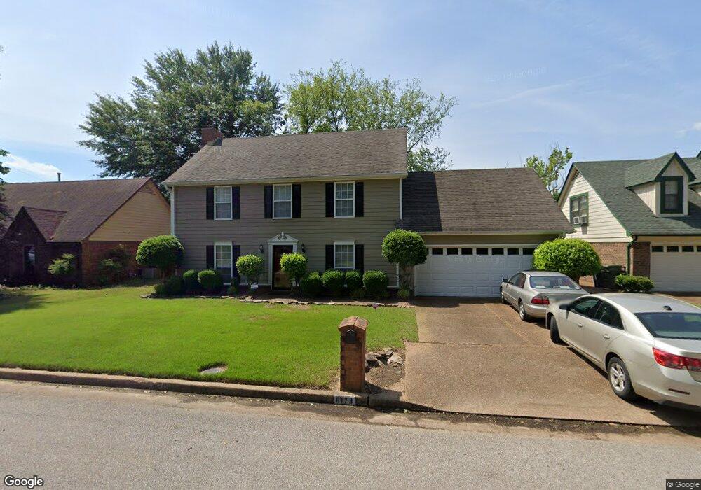
8173 Creekside Cir S Cordova, TN 38016
Cordova NeighborhoodEstimated Value: $264,247 - $307,000
3
Beds
3
Baths
2,596
Sq Ft
$107/Sq Ft
Est. Value
About This Home
This home is located at 8173 Creekside Cir S, Cordova, TN 38016 and is currently estimated at $277,312, approximately $106 per square foot. 8173 Creekside Cir S is a home located in Shelby County with nearby schools including Chimneyrock Elementary School, Cordova High School, and Cordova Middle School.
Ownership History
Date
Name
Owned For
Owner Type
Purchase Details
Closed on
Jul 17, 2024
Sold by
Ganong Robert S and Ganong Celeste B
Bought by
Ganong Family Living Trust and Ganong
Current Estimated Value
Purchase Details
Closed on
Nov 27, 1996
Sold by
David Emile J and David Brenda M
Bought by
Ganong Robert S and Ganong Celeste B
Home Financials for this Owner
Home Financials are based on the most recent Mortgage that was taken out on this home.
Original Mortgage
$131,076
Interest Rate
7.83%
Mortgage Type
FHA
Create a Home Valuation Report for This Property
The Home Valuation Report is an in-depth analysis detailing your home's value as well as a comparison with similar homes in the area
Home Values in the Area
Average Home Value in this Area
Purchase History
| Date | Buyer | Sale Price | Title Company |
|---|---|---|---|
| Ganong Family Living Trust | -- | None Listed On Document | |
| Ganong Robert S | $131,500 | Stewart Title Company |
Source: Public Records
Mortgage History
| Date | Status | Borrower | Loan Amount |
|---|---|---|---|
| Previous Owner | Ganong Robert S | $131,076 |
Source: Public Records
Tax History Compared to Growth
Tax History
| Year | Tax Paid | Tax Assessment Tax Assessment Total Assessment is a certain percentage of the fair market value that is determined by local assessors to be the total taxable value of land and additions on the property. | Land | Improvement |
|---|---|---|---|---|
| 2025 | $1,405 | $56,500 | $14,250 | $42,250 |
| 2024 | $1,405 | $41,450 | $8,225 | $33,225 |
| 2023 | $2,525 | $41,450 | $8,225 | $33,225 |
| 2022 | $2,525 | $41,450 | $8,225 | $33,225 |
| 2021 | $2,555 | $41,450 | $8,225 | $33,225 |
| 2020 | $2,257 | $31,150 | $8,225 | $22,925 |
| 2019 | $2,257 | $31,150 | $8,225 | $22,925 |
| 2018 | $2,257 | $31,150 | $8,225 | $22,925 |
| 2017 | $1,280 | $31,150 | $8,225 | $22,925 |
| 2016 | $1,240 | $28,375 | $0 | $0 |
| 2014 | $1,240 | $28,375 | $0 | $0 |
Source: Public Records
Map
Nearby Homes
- 2000 Westbriar Dr
- 2033 Westbriar Dr
- 8371 Whitesmill Cove
- 1916 Pheasant Acre Ln E
- 1888 Pheasant Acre Ln E
- 1882 Pheasant Acre Ln E
- 1905 Pheasant Acre Ln E
- 1840 Pheasant Acre Ln E
- 8314 Mangrove Dr
- 8401 Kings Trail Cove
- 1707 Old Mill Stream
- 4011 Woodchase Cove
- 8340 Keeli Cove
- 1682 Smokehouse Dr
- 8352 Keeli Cove
- 2029 Woodchase Cove
- 8457 King William St
- 8267 Chippingham Dr
- 8379 Old Dexter Rd
- 1646 Oaken Bucket Dr
- 8181 Creekside Cir S
- 8165 Creekside Cir S
- 8157 Creekside Cir S
- 8189 Creekside Cir S
- 8174 Creekside Cir S
- 8166 Creekside Cir S
- 8182 Creekside Cir S
- 8158 Creekside Cir S
- 8190 Creekside Cir S
- 8149 Creekside Cir S
- 8197 Creekside Cir S
- 8175 Creekside Cir N
- 8150 Creekside Cir S
- 8167 Creekside Cir N
- 8198 Creekside Cir S
- 8183 Creekside Cir N
- 8143 Creekside Cir S
- 8205 Creekside Cir S
- 8159 Creekside Cir N
- 8191 Creekside Cir N