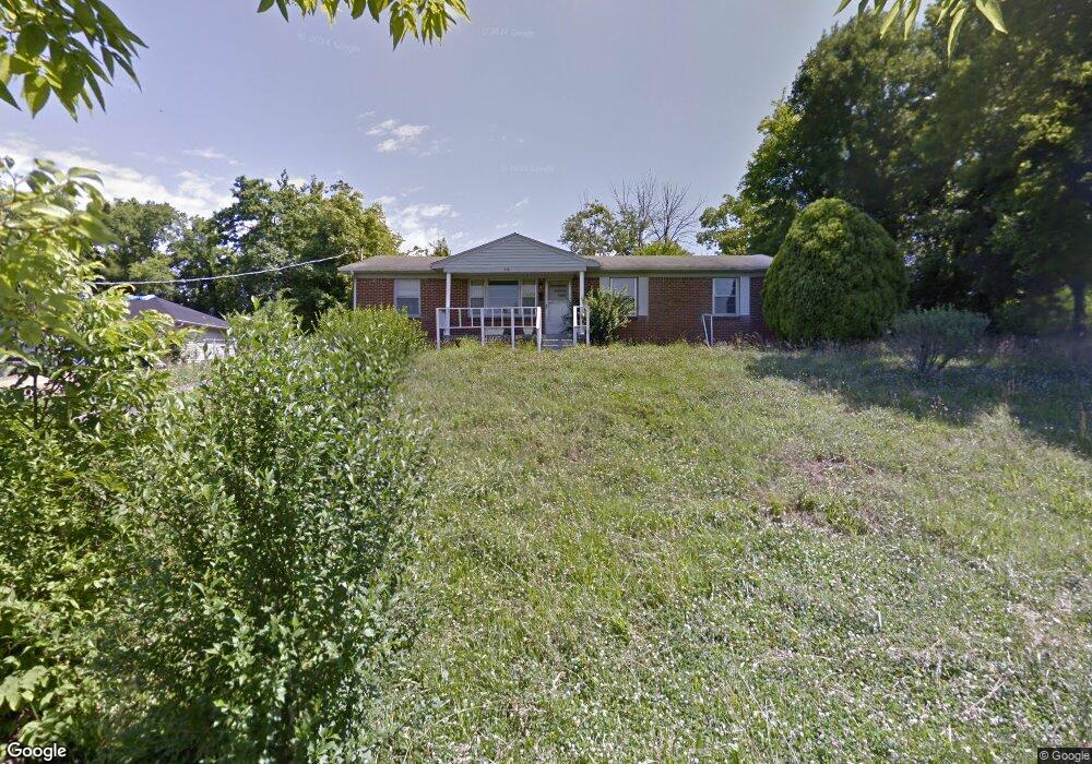
818 Branch Ln Pulaski, TN 38478
Estimated Value: $109,000 - $206,000
--
Bed
1
Bath
1,325
Sq Ft
$121/Sq Ft
Est. Value
About This Home
This home is located at 818 Branch Ln, Pulaski, TN 38478 and is currently estimated at $160,258, approximately $120 per square foot. 818 Branch Ln is a home located in Giles County with nearby schools including Pulaski Elementary School, Southside Elementary School, and Bridgeforth Middle School.
Ownership History
Date
Name
Owned For
Owner Type
Purchase Details
Closed on
Jul 8, 2020
Sold by
Woods Reynold Earl
Bought by
Marks Carl
Current Estimated Value
Home Financials for this Owner
Home Financials are based on the most recent Mortgage that was taken out on this home.
Original Mortgage
$23,400
Outstanding Balance
$3,814
Interest Rate
3.1%
Mortgage Type
Unknown
Estimated Equity
$156,444
Purchase Details
Closed on
Aug 9, 2013
Sold by
Marks William L
Bought by
Woods Lois Marks and Woods Reynold Earl
Purchase Details
Closed on
Jan 1, 1966
Bought by
Marks William H and Marks Kathleen
Create a Home Valuation Report for This Property
The Home Valuation Report is an in-depth analysis detailing your home's value as well as a comparison with similar homes in the area
Home Values in the Area
Average Home Value in this Area
Purchase History
| Date | Buyer | Sale Price | Title Company |
|---|---|---|---|
| Marks Carl | $27,000 | Giles Title And Escrow | |
| Woods Lois Marks | $27,000 | -- | |
| Marks William H | -- | -- |
Source: Public Records
Mortgage History
| Date | Status | Borrower | Loan Amount |
|---|---|---|---|
| Open | Marks Carl | $23,400 |
Source: Public Records
Tax History Compared to Growth
Tax History
| Year | Tax Paid | Tax Assessment Tax Assessment Total Assessment is a certain percentage of the fair market value that is determined by local assessors to be the total taxable value of land and additions on the property. | Land | Improvement |
|---|---|---|---|---|
| 2024 | $743 | $30,850 | $6,375 | $24,475 |
| 2023 | $743 | $30,850 | $6,375 | $24,475 |
| 2022 | $743 | $30,850 | $6,375 | $24,475 |
| 2021 | $512 | $15,100 | $2,125 | $12,975 |
| 2020 | $542 | $15,100 | $2,125 | $12,975 |
| 2019 | $452 | $16,000 | $2,125 | $13,875 |
| 2018 | $542 | $16,000 | $2,125 | $13,875 |
| 2017 | $542 | $16,000 | $2,125 | $13,875 |
| 2016 | $554 | $15,650 | $2,125 | $13,525 |
| 2015 | $523 | $15,650 | $2,125 | $13,525 |
| 2014 | $523 | $15,662 | $0 | $0 |
Source: Public Records
Map
Nearby Homes
- 0 Maple St
- 525 Culpepper St Extended
- 630 Marietta St
- 320 Park St
- 617 Childers St
- 808 N 1st St
- 600 Childers St
- 528 Maple St
- 140 Phillips St
- 124 Chestnut St
- 0 Marietta St
- 418 Jones St
- 403 Victoria St
- 613 Mcgrew St
- 958 Dollar Hollow Rd
- 116 E Woodring St
- 0 Sumpter St
- 0 N 3rd St
- 207 N Cedar Ln
- 1400 Ragsdale Ln
- 820 Branch Ln
- 826 Ragsdale Ln
- 831 Martin Ln
- 150 Lane Cir
- 140 Lane Cir
- 430 E Grigsby St
- 837 Martin Ln
- 830 Ragsdale Ln
- 828 Branch Ln
- 840 Martin Ln
- 205 Lane Cir
- 209 Lane Cir
- 838 Ragsdale Ln
- 844 Martin Ln
- 855 Martin Ln
- 837 Ragsdale Ln
- 840 Ragsdale Ln
- 515 Mitchell St
- 520 Mitchell St
- 0 Ragsdale Ln Unit 1721584