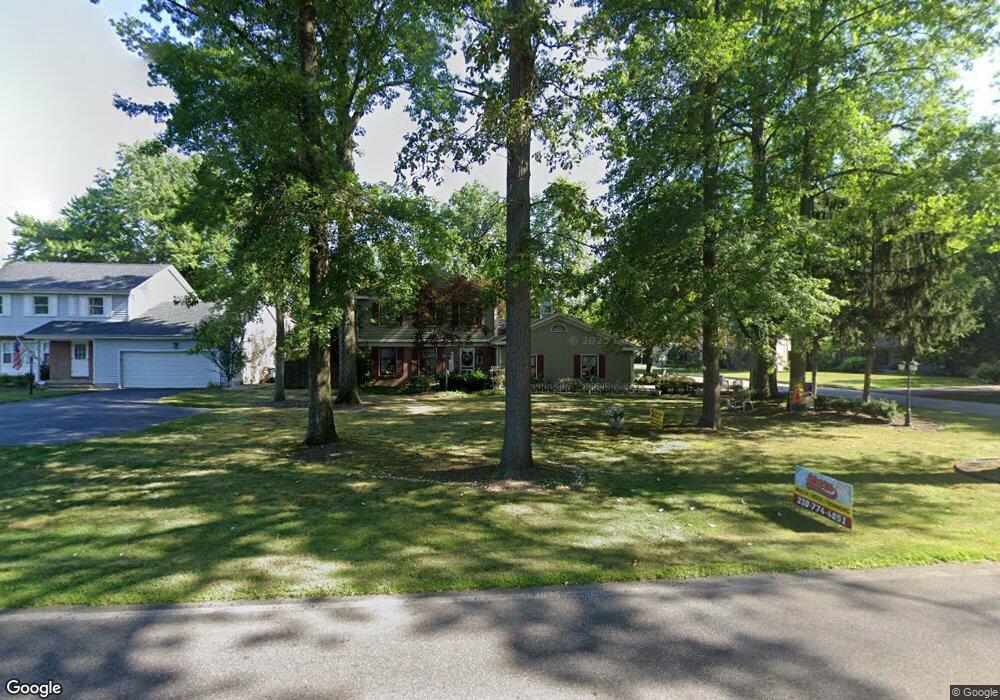
818 Shields Rd Youngstown, OH 44511
Estimated Value: $260,531 - $309,000
3
Beds
2
Baths
2,031
Sq Ft
$142/Sq Ft
Est. Value
About This Home
This home is located at 818 Shields Rd, Youngstown, OH 44511 and is currently estimated at $287,633, approximately $141 per square foot. 818 Shields Rd is a home located in Mahoning County with nearby schools including West Boulevard Elementary School, Boardman Center Middle School, and Boardman High School.
Ownership History
Date
Name
Owned For
Owner Type
Purchase Details
Closed on
May 17, 2005
Sold by
Karen L Manenti Declaration Of Trust and Manenti Karen L
Bought by
Donadee Robert and Donadee Georgann
Current Estimated Value
Home Financials for this Owner
Home Financials are based on the most recent Mortgage that was taken out on this home.
Original Mortgage
$215,475
Outstanding Balance
$114,005
Interest Rate
6.07%
Mortgage Type
Fannie Mae Freddie Mac
Estimated Equity
$173,628
Purchase Details
Closed on
Oct 13, 2003
Sold by
Manenti Karen Lynne and Manenti John M
Bought by
Manenti Karen L
Purchase Details
Closed on
Mar 5, 1992
Bought by
Manenti Karen L
Create a Home Valuation Report for This Property
The Home Valuation Report is an in-depth analysis detailing your home's value as well as a comparison with similar homes in the area
Home Values in the Area
Average Home Value in this Area
Purchase History
| Date | Buyer | Sale Price | Title Company |
|---|---|---|---|
| Donadee Robert | $168,000 | Fidelity National Title Insu | |
| Manenti Karen L | -- | -- | |
| Manenti Karen L | -- | -- |
Source: Public Records
Mortgage History
| Date | Status | Borrower | Loan Amount |
|---|---|---|---|
| Open | Donadee Robert | $215,475 |
Source: Public Records
Tax History Compared to Growth
Tax History
| Year | Tax Paid | Tax Assessment Tax Assessment Total Assessment is a certain percentage of the fair market value that is determined by local assessors to be the total taxable value of land and additions on the property. | Land | Improvement |
|---|---|---|---|---|
| 2024 | $3,681 | $72,850 | $8,840 | $64,010 |
| 2023 | $3,631 | $72,850 | $8,840 | $64,010 |
| 2022 | $3,267 | $50,100 | $8,020 | $42,080 |
| 2021 | $3,269 | $50,100 | $8,020 | $42,080 |
| 2020 | $3,286 | $50,100 | $8,020 | $42,080 |
| 2019 | $3,522 | $48,170 | $7,710 | $40,460 |
| 2018 | $3,051 | $48,170 | $7,710 | $40,460 |
| 2017 | $3,048 | $48,170 | $7,710 | $40,460 |
| 2016 | $2,846 | $44,530 | $7,710 | $36,820 |
| 2015 | $2,789 | $44,530 | $7,710 | $36,820 |
| 2014 | $2,797 | $44,530 | $7,710 | $36,820 |
| 2013 | $2,762 | $44,530 | $7,710 | $36,820 |
Source: Public Records
Map
Nearby Homes
- 990 Westport Dr
- 21.19 acres Truesdale and Lockwood Rd
- 29 Gillian Ln
- 537 W Glen Dr
- 5200 West Blvd Unit 505
- 768 Crestview Dr
- 272 Shields Rd
- 715 Crestview Dr
- 5020 Friendship Ave
- 5670 Tracy Dr
- 772 Ewing Rd
- 3927 Hopkins Rd
- 4042 Baymar Dr
- 813 Brookfield Ave
- 4225 Stratford Rd
- 1342 Shields Rd
- 138 Robinhood Way
- 5097 Tippwood Ct
- 169 Wolcott Dr
- 396 Brookfield Ave
- 824 Shields Rd
- 815 Westport Dr
- 812 Westport Dr
- 830 Shields Rd
- 5211 Royal Palm Dr
- 821 Westport Dr
- 814 Westport Dr
- 838 Shields Rd
- 829 Westport Dr
- 820 Westport Dr
- 806 Shields Rd
- 5221 Royal Palm Dr
- 5210 Royal Palm Dr
- 835 Westport Dr
- 710 Park Harbour Dr
- 824 Westport Dr
- 842 Shields Rd
- 841 Westport Dr
- 830 Westport Dr
- 720 Park Harbour Dr