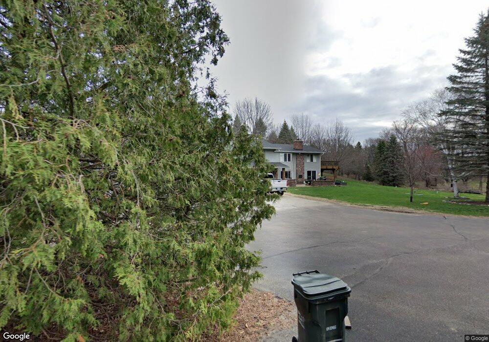
8185 Courthouse Blvd Inver Grove Heights, MN 55077
Estimated Value: $567,000 - $719,000
3
Beds
2
Baths
2,054
Sq Ft
$326/Sq Ft
Est. Value
About This Home
This home is located at 8185 Courthouse Blvd, Inver Grove Heights, MN 55077 and is currently estimated at $669,388, approximately $325 per square foot. 8185 Courthouse Blvd is a home located in Dakota County with nearby schools including Pine Bend Elementary School, Inver Grove Heights Middle School, and Simley Senior High School.
Ownership History
Date
Name
Owned For
Owner Type
Purchase Details
Closed on
Sep 18, 2019
Sold by
Baker James T and Baker Janet M
Bought by
Amundson Joseph and Amundson Michael
Current Estimated Value
Home Financials for this Owner
Home Financials are based on the most recent Mortgage that was taken out on this home.
Original Mortgage
$373,269
Outstanding Balance
$330,355
Interest Rate
4.12%
Mortgage Type
FHA
Estimated Equity
$339,033
Purchase Details
Closed on
Aug 12, 1999
Sold by
Deeg Richard H and Deeg Denise A
Bought by
Baker James T and Baker Janet M
Create a Home Valuation Report for This Property
The Home Valuation Report is an in-depth analysis detailing your home's value as well as a comparison with similar homes in the area
Home Values in the Area
Average Home Value in this Area
Purchase History
| Date | Buyer | Sale Price | Title Company |
|---|---|---|---|
| Amundson Joseph | $465,000 | Trademark Title Services Inc | |
| Baker James T | $310,000 | -- |
Source: Public Records
Mortgage History
| Date | Status | Borrower | Loan Amount |
|---|---|---|---|
| Open | Amundson Joseph | $373,269 |
Source: Public Records
Tax History Compared to Growth
Tax History
| Year | Tax Paid | Tax Assessment Tax Assessment Total Assessment is a certain percentage of the fair market value that is determined by local assessors to be the total taxable value of land and additions on the property. | Land | Improvement |
|---|---|---|---|---|
| 2024 | $6,484 | $597,200 | $208,100 | $389,100 |
| 2023 | $6,484 | $604,300 | $202,800 | $401,500 |
| 2022 | $5,488 | $579,600 | $202,600 | $377,000 |
| 2021 | $5,546 | $492,200 | $176,100 | $316,100 |
| 2020 | $5,580 | $488,700 | $167,800 | $320,900 |
| 2019 | $5,593 | $489,600 | $159,800 | $329,800 |
| 2018 | $5,524 | $456,300 | $152,200 | $304,100 |
| 2017 | $5,138 | $447,500 | $144,900 | $302,600 |
| 2016 | $5,219 | $405,700 | $138,100 | $267,600 |
| 2015 | $5,243 | $412,058 | $134,654 | $277,404 |
| 2014 | -- | $392,983 | $129,136 | $263,847 |
| 2013 | -- | $391,021 | $120,421 | $270,600 |
Source: Public Records
Map
Nearby Homes
- 7874 Austin Way
- 7830 Adler Trail
- 7827 Austin Path
- 7839 Austin Path
- The Cedar Patio Plan at Scenic Hills - The Landmark Collection
- The Asher Plan at Scenic Hills - The Summit Collection
- The Carter Plan at Scenic Hills - The Summit Collection
- The Blake Plan at Scenic Hills - The Summit Collection
- The Cypress Patio Plan at Scenic Hills - The Landmark Collection
- The Dylan Plan at Scenic Hills - The Summit Collection
- The Elm Patio Plan at Scenic Hills - The Landmark Collection
- 7833 Ava Trail
- 7836 Austin Path
- 7828 Austin Path
- 7822 Austin Path
- 7834 Austin Path
- 7848 Austin Path
- 7804 Austin Path
- 7805 Ava Trail
- 7759 Adler Trail
- 8141 Courthouse Blvd
- 8215 Angus Ave
- 8240 Angus Ave
- 8201 Angus Ave
- 8119 Courthouse Blvd
- 8235 Courthouse Blvd
- XXXX Angus Ave
- 8220 Alta Ave
- 8225 Angus Ave
- 8290 Angus Ave
- 8140 Courthouse Blvd
- 8150 Courthouse Blvd
- 8115 Courthouse Blvd
- 8310 Alta Ave
- 8285 Annalisa Path
- 1227 82nd St E
- 8315 Annalisa Path
- 8305 Angus Ave
- 1240 82nd St E
- 8315 Alta Ave