Estimated Value: $147,277 - $169,000
Studio
--
Bath
--
Sq Ft
252,212
Sq Ft Lot
About This Home
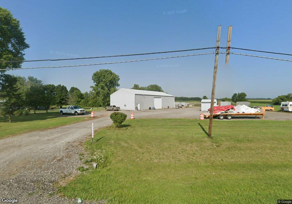
This home is located at 8185 State Route 15, Bryan, OH 43506 and is currently estimated at $158,139. 8185 State Route 15 is a home located in Williams County with nearby schools including Bryan Elementary PK-5, Washington Elementary School, and Bryan Middle School/High School.
Ownership History
Date
Name
Owned For
Owner Type
Purchase Details
Closed on
Mar 26, 2007
Sold by
Gineman James P
Bought by
Mansfield M Kee
Current Estimated Value
Home Financials for this Owner
Home Financials are based on the most recent Mortgage that was taken out on this home.
Original Mortgage
$51,200
Outstanding Balance
$30,353
Interest Rate
6.25%
Mortgage Type
Future Advance Clause Open End Mortgage
Estimated Equity
$127,786
Purchase Details
Closed on
Sep 1, 1999
Sold by
Mohre Joseph N And
Bought by
Gineman James P and Gineman Margo L
Purchase Details
Closed on
Jan 1, 1990
Bought by
Mohre Joseph N And
Create a Home Valuation Report for This Property
The Home Valuation Report is an in-depth analysis detailing your home's value as well as a comparison with similar homes in the area
Purchase History
| Date | Buyer | Sale Price | Title Company |
|---|---|---|---|
| Mansfield M Kee | $64,000 | None Available | |
| Gineman James P | $39,500 | -- | |
| Mohre Joseph N And | -- | -- |
Source: Public Records
Mortgage History
| Date | Status | Borrower | Loan Amount |
|---|---|---|---|
| Open | Mansfield M Kee | $51,200 |
Source: Public Records
Tax History
| Year | Tax Paid | Tax Assessment Tax Assessment Total Assessment is a certain percentage of the fair market value that is determined by local assessors to be the total taxable value of land and additions on the property. | Land | Improvement |
|---|---|---|---|---|
| 2025 | $1,051 | $22,650 | $11,200 | $11,450 |
| 2024 | $1,051 | $22,650 | $11,200 | $11,450 |
| 2023 | $1,041 | $19,780 | $9,630 | $10,150 |
| 2022 | $1,035 | $19,780 | $9,630 | $10,150 |
| 2021 | $1,020 | $19,780 | $9,630 | $10,150 |
| 2020 | $1,508 | $16,870 | $8,400 | $8,470 |
| 2019 | $1,495 | $16,870 | $8,400 | $8,470 |
| 2018 | $1,390 | $16,870 | $8,400 | $8,470 |
| 2017 | $1,323 | $13,300 | $5,040 | $8,260 |
| 2016 | $1,277 | $13,300 | $5,040 | $8,260 |
| 2015 | $1,330 | $13,300 | $5,040 | $8,260 |
| 2014 | $1,330 | $13,300 | $5,040 | $8,260 |
| 2013 | $1,303 | $13,300 | $5,040 | $8,260 |
Source: Public Records
Map
Nearby Homes
- 13810 Williams County G
- 6695 Ohio 15 Unit 16
- 6695 Ohio 15
- 8520 Williams County Road 16
- 8520 County Road 16
- 16299 County Road F75
- 10918 Ohio 15
- 0 St Rt 15 Unit 10001011
- 13673 County Rd E
- 226 Greenfield Dr
- 206 Brown Dr
- 202 Sycamore Ln
- 10442 County Road I
- 310 E Edgerton St
- 319 N Williams St
- 315 N Williams St
- 13 W Brown Rd
- 00 W Brown Rd
- 330 N Emmett St
- 228 N Beech St
- 8157 State Route 15
- 8200 State Route 15
- 8222 Ohio 15
- 8175 State Route 15
- 8194 State Route 15
- 8222 State Route 15
- 8282 Ohio 15
- 8282 State Route 15
- 8073 State Route 15
- 8268 State Route 15
- 8220 Ohio 15
- 8399 State Route 15
- 101 Grace St
- 7975 S R 15
- 13751 County Road H
- 106 Grace St
- 106 Clover Ln
- 105 Grace St
- 110 Grace St
- 109 Grace St
Your Personal Tour Guide
Ask me questions while you tour the home.