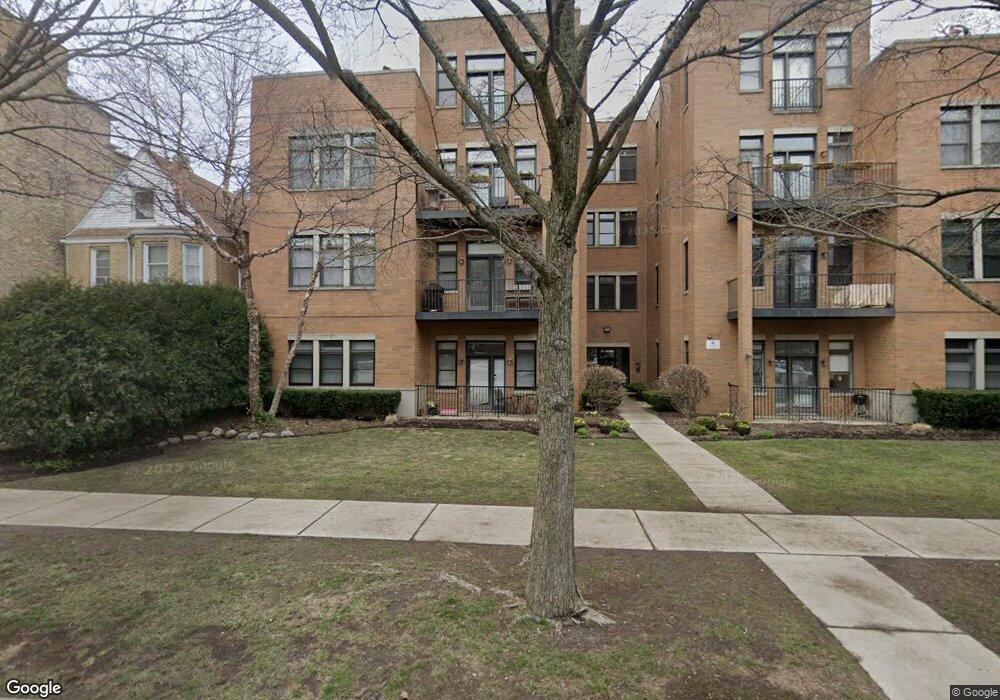
819 Foster St Unit 8191S Evanston, IL 60201
Northeast Evanston NeighborhoodEstimated Value: $340,000 - $605,682
2
Beds
--
Bath
1,300
Sq Ft
$383/Sq Ft
Est. Value
About This Home
This home is located at 819 Foster St Unit 8191S, Evanston, IL 60201 and is currently estimated at $497,921, approximately $383 per square foot. 819 Foster St Unit 8191S is a home located in Cook County with nearby schools including Dewey Elementary School, Washington Elementary School, and Nichols Middle School.
Ownership History
Date
Name
Owned For
Owner Type
Purchase Details
Closed on
Apr 30, 2005
Sold by
Foster Street Development Llc
Bought by
Wagner Jody M and Wagner Alan L
Current Estimated Value
Home Financials for this Owner
Home Financials are based on the most recent Mortgage that was taken out on this home.
Original Mortgage
$291,600
Outstanding Balance
$142,466
Interest Rate
4.87%
Mortgage Type
Fannie Mae Freddie Mac
Estimated Equity
$355,455
Create a Home Valuation Report for This Property
The Home Valuation Report is an in-depth analysis detailing your home's value as well as a comparison with similar homes in the area
Home Values in the Area
Average Home Value in this Area
Purchase History
| Date | Buyer | Sale Price | Title Company |
|---|---|---|---|
| Wagner Jody M | $364,500 | Git |
Source: Public Records
Mortgage History
| Date | Status | Borrower | Loan Amount |
|---|---|---|---|
| Open | Wagner Jody M | $291,600 | |
| Closed | Wagner Jody M | $36,400 |
Source: Public Records
Tax History Compared to Growth
Tax History
| Year | Tax Paid | Tax Assessment Tax Assessment Total Assessment is a certain percentage of the fair market value that is determined by local assessors to be the total taxable value of land and additions on the property. | Land | Improvement |
|---|---|---|---|---|
| 2024 | $11,378 | $46,998 | $3,021 | $43,977 |
| 2023 | $10,917 | $46,998 | $3,021 | $43,977 |
| 2022 | $10,917 | $46,998 | $3,021 | $43,977 |
| 2021 | $9,565 | $36,042 | $1,994 | $34,048 |
| 2020 | $9,437 | $36,042 | $1,994 | $34,048 |
| 2019 | $9,235 | $39,416 | $1,994 | $37,422 |
| 2018 | $9,025 | $32,941 | $1,691 | $31,250 |
| 2017 | $8,789 | $32,941 | $1,691 | $31,250 |
| 2016 | $8,336 | $32,941 | $1,691 | $31,250 |
| 2015 | $7,532 | $28,092 | $1,450 | $26,642 |
| 2014 | $7,461 | $28,092 | $1,450 | $26,642 |
| 2013 | $7,289 | $28,092 | $1,450 | $26,642 |
Source: Public Records
Map
Nearby Homes
- 2012 Maple Ave
- 2033 Sherman Ave Unit 403
- 2033 Sherman Ave Unit 504
- 2026 Maple Ave
- 709 Foster St
- 721 Emerson St Unit 2W
- 1862 Sherman Ave Unit 1NE
- 1864 Sherman Ave Unit 5NW
- 1864 Sherman Ave Unit 3SW
- 2125 Sherman Ave
- 1860 Sherman Ave Unit 7NE
- 1889 Maple Ave Unit W10
- 800 Elgin Rd Unit 1306
- 800 Elgin Rd Unit 1013
- 800 Elgin Rd Unit 1218
- 800 Elgin Rd Unit 1210
- 800 Elgin Rd Unit 1002
- 800 Elgin Rd Unit 620
- 730 Noyes St Unit K3
- 734 Noyes St Unit 2
- 819 Foster St Unit 1N
- 819 Foster St Unit 3N
- 819 Foster St Unit 3S
- 819 Foster St Unit 8192N
- 819 Foster St Unit 8193S
- 819 Foster St Unit 8194N
- 819 Foster St Unit 8193N
- 819 Foster St Unit 8192S
- 819 Foster St Unit 8191N
- 819 Foster St Unit 2-S
- 819 Foster St Unit 4-N
- 819 Foster St Unit 2N
- 821 Foster St Unit 8211N
- 821 Foster St Unit 8212S
- 821 Foster St Unit 8213N
- 821 Foster St Unit 8214N
- 821 Foster St Unit 8213S
- 821 Foster St Unit 8212N
- 821 Foster St Unit 8211S
- 821 Foster St Unit 2S