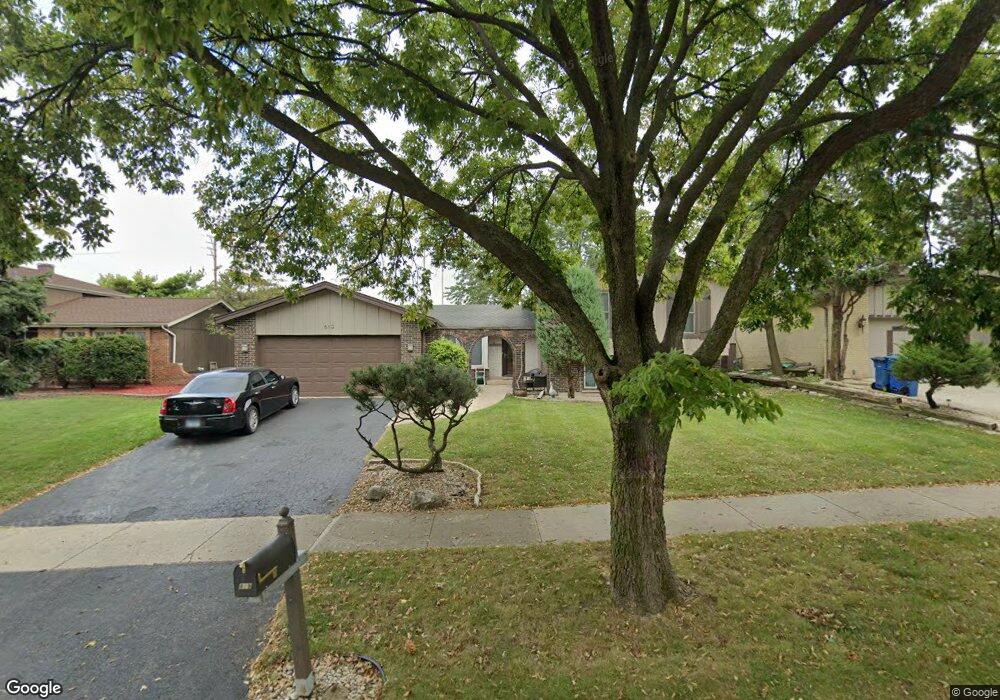
819 Kings Point Dr E Addison, IL 60101
Estimated Value: $428,451 - $485,000
3
Beds
3
Baths
2,409
Sq Ft
$189/Sq Ft
Est. Value
About This Home
This home is located at 819 Kings Point Dr E, Addison, IL 60101 and is currently estimated at $454,863, approximately $188 per square foot. 819 Kings Point Dr E is a home located in DuPage County with nearby schools including Stone Elementary School, Indian Trail Jr High School, and Addison Trail High School.
Ownership History
Date
Name
Owned For
Owner Type
Purchase Details
Closed on
Oct 9, 2008
Sold by
Juhasz Diana
Bought by
Juhasz Diana and Diana Juhasz Living Trust
Current Estimated Value
Create a Home Valuation Report for This Property
The Home Valuation Report is an in-depth analysis detailing your home's value as well as a comparison with similar homes in the area
Home Values in the Area
Average Home Value in this Area
Purchase History
| Date | Buyer | Sale Price | Title Company |
|---|---|---|---|
| Juhasz Diana | -- | None Available |
Source: Public Records
Tax History
| Year | Tax Paid | Tax Assessment Tax Assessment Total Assessment is a certain percentage of the fair market value that is determined by local assessors to be the total taxable value of land and additions on the property. | Land | Improvement |
|---|---|---|---|---|
| 2024 | $8,635 | $131,154 | $38,491 | $92,663 |
| 2023 | $8,197 | $119,940 | $35,200 | $84,740 |
| 2022 | $8,023 | $114,840 | $34,980 | $79,860 |
| 2021 | $7,624 | $109,110 | $33,230 | $75,880 |
| 2020 | $7,555 | $106,450 | $32,420 | $74,030 |
| 2019 | $7,523 | $102,290 | $31,150 | $71,140 |
| 2018 | $7,167 | $93,980 | $28,620 | $65,360 |
| 2017 | $6,767 | $87,110 | $26,530 | $60,580 |
| 2016 | $6,587 | $80,620 | $24,550 | $56,070 |
| 2015 | $6,492 | $75,230 | $22,910 | $52,320 |
| 2014 | $6,081 | $70,340 | $22,070 | $48,270 |
| 2013 | $6,047 | $72,740 | $22,820 | $49,920 |
Source: Public Records
Map
Nearby Homes
- 823 N Harrow Ct
- 1770 W Windmill Ct
- 971 N Rohlwing Rd Unit GB
- 940 N Rohlwing Rd Unit 201A
- 953 N Rohlwing Rd Unit GB
- 1651 W Goldengate Dr
- 865 N Tamarac Blvd
- 881 N Swift Rd Unit 206
- 941 N Swift Rd Unit 302
- 551 N Plamondon Dr
- 1354 W Byron Ave Unit D
- 1210 N Foxdale Dr Unit 109
- 1306 W Byron Ave
- 1200 N Foxdale Dr Unit 205
- 1259 W Lake St Unit 203
- 5N210 Central Rd
- 3N662 Elizabeth St
- 1113 N Itasca Rd
- 20W561 Army Trail Blvd
- 1227 N Ashley Ln
- 815 Kings Point Dr E
- 823 Kings Point Dr E
- 827 Kings Point Dr E
- 811 Kings Point Dr E
- 818 Kings Point Dr E
- 822 Kings Point Dr E
- 1799 W Byron Ave
- 814 Kings Point Dr E
- 826 Kings Point Dr E
- 1795 W Byron Ave
- 1798 W Byron Ave
- 1808 Kings Point Dr S
- 830 Kings Point Dr E
- 807 N Rohlwing Rd Unit 15
- 1805 Kings Point Dr S
- 835 Kings Point Dr E
- 1794 W Byron Ave
- 811 N Rumple Ln
- 1791 W Byron Ave
- 809 N Rumple Ln
Your Personal Tour Guide
Ask me questions while you tour the home.