819 Mitchell Point Rd Mineral, VA 23117
Estimated Value: $479,968 - $563,000
3
Beds
2
Baths
2,028
Sq Ft
$262/Sq Ft
Est. Value
About This Home
This home is located at 819 Mitchell Point Rd, Mineral, VA 23117 and is currently estimated at $531,492, approximately $262 per square foot. 819 Mitchell Point Rd is a home located in Louisa County with nearby schools including Thomas Jefferson Elementary School, Louisa County Middle School, and Louisa County High School.
Ownership History
Date
Name
Owned For
Owner Type
Purchase Details
Closed on
Dec 18, 2020
Sold by
Glass Kevin B
Bought by
Spolidoro Michael A and Spolidoro Laurina M
Current Estimated Value
Home Financials for this Owner
Home Financials are based on the most recent Mortgage that was taken out on this home.
Original Mortgage
$284,000
Outstanding Balance
$252,845
Interest Rate
2.7%
Mortgage Type
New Conventional
Estimated Equity
$278,647
Purchase Details
Closed on
Oct 14, 2020
Sold by
Wright Leonard A and Wright Vickie H
Bought by
Glass Kevin B
Home Financials for this Owner
Home Financials are based on the most recent Mortgage that was taken out on this home.
Original Mortgage
$56,000
Interest Rate
2.9%
Mortgage Type
New Conventional
Create a Home Valuation Report for This Property
The Home Valuation Report is an in-depth analysis detailing your home's value as well as a comparison with similar homes in the area
Home Values in the Area
Average Home Value in this Area
Purchase History
| Date | Buyer | Sale Price | Title Company |
|---|---|---|---|
| Spolidoro Michael A | $355,000 | Multiple | |
| Glass Kevin B | $327,500 | Northern Virginia T&E Inc |
Source: Public Records
Mortgage History
| Date | Status | Borrower | Loan Amount |
|---|---|---|---|
| Open | Spolidoro Michael A | $284,000 | |
| Previous Owner | Glass Kevin B | $56,000 |
Source: Public Records
Tax History Compared to Growth
Tax History
| Year | Tax Paid | Tax Assessment Tax Assessment Total Assessment is a certain percentage of the fair market value that is determined by local assessors to be the total taxable value of land and additions on the property. | Land | Improvement |
|---|---|---|---|---|
| 2024 | $3,045 | $422,900 | $76,100 | $346,800 |
| 2023 | $2,837 | $414,800 | $64,100 | $350,700 |
| 2022 | $2,742 | $380,800 | $56,100 | $324,700 |
| 2021 | $2,018 | $328,700 | $56,100 | $272,600 |
| 2020 | $2,652 | $368,400 | $56,100 | $312,300 |
| 2019 | $2,641 | $366,800 | $56,100 | $310,700 |
| 2018 | $2,598 | $360,900 | $56,100 | $304,800 |
| 2017 | $2,594 | $357,100 | $56,100 | $301,000 |
| 2016 | $2,594 | $360,300 | $56,100 | $304,200 |
| 2015 | $2,300 | $319,500 | $58,500 | $261,000 |
| 2013 | -- | $277,900 | $61,700 | $216,200 |
Source: Public Records
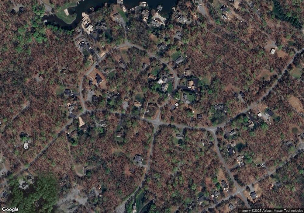
Map
Nearby Homes
- Lot 17 Mary Wayne Ln
- Lot 72 Madeline Ln
- 0 (Lot 5) New Bridge Rd
- 40 Grandview Dr
- Lot 28 Turkey Trail
- Lot 11 Park Run
- 315 Lakewood Cir
- Lot 7 Pinewood Dr
- 41 Lakeshore Ln
- 0 Laurelwood Dr Unit VALA2008522
- 219 Oakwood Dr
- 184 Anna Coves Blvd
- 60 Laurelwood Dr
- Lot 2 & 6 New Bridge Rd
- Lot 76 Centerville Rd
- TBD Tall Pines Dr
- 115 Forest Ln
- 1502 New Bridge Rd
- 373 Hemlock Ln
- 358 Hemlock Ln
- 801 Mitchell Point Rd
- 0 Mitchell Point Rd Unit LA7260992
- 0 Mitchell Point Rd Unit LA7263226
- 0 Mitchell Point Rd Unit LA7352879
- 0 Mitchell Point Rd Unit LA7475423
- 0 Mitchell Point Rd Unit LA7643204
- 0 Mitchell Point Rd Unit LA8189400
- 0 Mitchell Point Rd Unit LA9812325
- 306 Bernie Cir
- 363 Bernie Cir
- 775 Mitchell Point Rd
- 333 Bernie Cir
- 252 Bernie Cir
- 103 Bernie Cir
- 86 Bernie Cir
- 0 Mitchell Point Rd Unit LA9627184
- 0 Mary Wayne Ln
- 224 Bernie Cir
- 747 Mitchell Point Rd
- 10232 Mitchell Point Rd