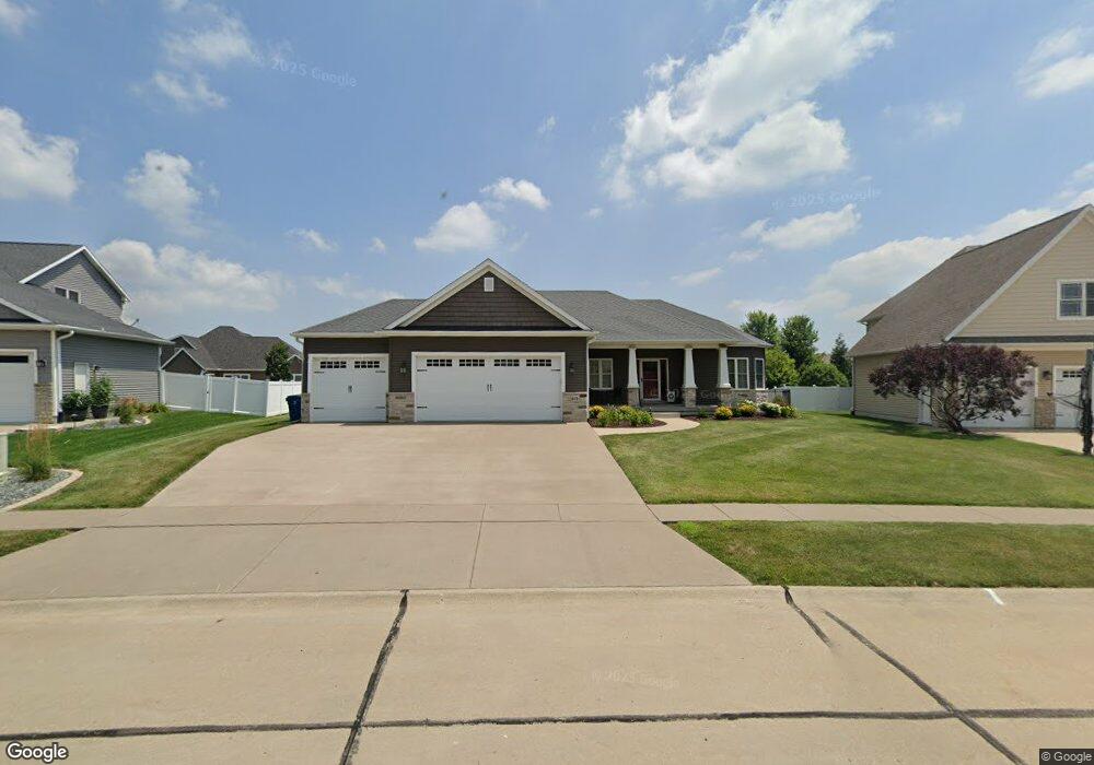
819 S 7th St Eldridge, IA 52748
Estimated Value: $540,000 - $590,000
4
Beds
4
Baths
1,915
Sq Ft
$295/Sq Ft
Est. Value
About This Home
This home is located at 819 S 7th St, Eldridge, IA 52748 and is currently estimated at $564,279, approximately $294 per square foot. 819 S 7th St is a home located in Scott County with nearby schools including Edward White Elementary School, North Scott Junior High School, and North Scott Senior High School.
Ownership History
Date
Name
Owned For
Owner Type
Purchase Details
Closed on
Oct 22, 2020
Sold by
Seratt Jamie G and Seratt Katie A
Bought by
Melchert Thomas E and Melchert Lorie A
Current Estimated Value
Home Financials for this Owner
Home Financials are based on the most recent Mortgage that was taken out on this home.
Original Mortgage
$395,100
Outstanding Balance
$350,780
Interest Rate
2.8%
Mortgage Type
New Conventional
Estimated Equity
$213,499
Purchase Details
Closed on
May 3, 2013
Sold by
Iownsend Farm Developers Lc
Bought by
Trapkus Build Inc
Home Financials for this Owner
Home Financials are based on the most recent Mortgage that was taken out on this home.
Original Mortgage
$60,350
Interest Rate
3.39%
Mortgage Type
Future Advance Clause Open End Mortgage
Create a Home Valuation Report for This Property
The Home Valuation Report is an in-depth analysis detailing your home's value as well as a comparison with similar homes in the area
Home Values in the Area
Average Home Value in this Area
Purchase History
| Date | Buyer | Sale Price | Title Company |
|---|---|---|---|
| Melchert Thomas E | $439,000 | None Available | |
| Trapkus Build Inc | $71,000 | None Available |
Source: Public Records
Mortgage History
| Date | Status | Borrower | Loan Amount |
|---|---|---|---|
| Open | Melchert Thomas E | $395,100 | |
| Previous Owner | Trapkus Build Inc | $60,350 |
Source: Public Records
Tax History
| Year | Tax Paid | Tax Assessment Tax Assessment Total Assessment is a certain percentage of the fair market value that is determined by local assessors to be the total taxable value of land and additions on the property. | Land | Improvement |
|---|---|---|---|---|
| 2025 | $6,374 | $547,000 | $121,800 | $425,200 |
| 2024 | $6,210 | $507,500 | $107,100 | $400,400 |
| 2023 | $6,448 | $507,500 | $107,100 | $400,400 |
| 2022 | $6,250 | $452,350 | $82,860 | $369,490 |
| 2021 | $6,250 | $452,350 | $82,860 | $369,490 |
| 2020 | $5,436 | $386,260 | $82,860 | $303,400 |
| 2019 | $5,678 | $386,260 | $82,860 | $303,400 |
| 2018 | $5,798 | $386,260 | $82,860 | $303,400 |
| 2017 | $5,206 | $386,260 | $82,860 | $303,400 |
| 2016 | $5,086 | $338,290 | $0 | $0 |
| 2015 | $5,086 | $196,060 | $0 | $0 |
| 2014 | $3,076 | $6,800 | $0 | $0 |
| 2013 | $104 | $0 | $0 | $0 |
Source: Public Records
Map
Nearby Homes
- 513 S 7th St
- 318 W Oak St
- 116 Pinehurst Dr
- 408 S Tombergs Dr
- 1867 Redbud Cir Unit 103
- 1832 Redbud Cir
- 1867 Redbud Cir Unit 102
- 1867 Redbud Cir Unit 101
- 1875 Redbud Cir Unit 102
- 1875 Redbud Cir Unit 103
- 101 W Sheridan Dr
- Lot 22 S 5th St
- 1719 S 5th St
- 1719 5th St
- 1821 Redbud Cir
- 1218 S 2nd St
- 1831 S 5th St
- 1704 Redbud Cir Unit 101
- 1704 Redbud Cir Unit 103
- 1704 Redbud Cir Unit 102
- 819 S 7th Street Ct
- 825 S 7th St Ct
- 813 S 7th St Ct
- 0 S 7th Street Ct
- 852 Stonebridge Cir
- 848 Stonebridge Cir
- 856 Stonebridge Cir
- 807 S 7th Street Ct
- 807 S 7th St
- 831 S 7th St Ct
- 818 S 7th Street Ct
- 844 Stonebridge Cir
- 812 S 7th Street Ct
- 812 S 7th St
- 812 S 7th St Ct
- 824 S 7th St Ct
- 860 Stonebridge Cir
- 0000 Stonebridge
- 837 S 7th St Ct
- 806 S 7th St
Your Personal Tour Guide
Ask me questions while you tour the home.