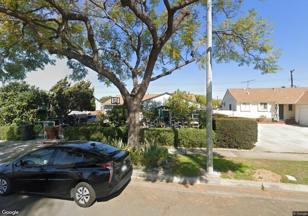
819 W Maxzim Ave Fullerton, CA 92832
Estimated Value: $816,000 - $884,000
3
Beds
2
Baths
1,268
Sq Ft
$667/Sq Ft
Est. Value
About This Home
This home is located at 819 W Maxzim Ave, Fullerton, CA 92832 and is currently estimated at $846,252, approximately $667 per square foot. 819 W Maxzim Ave is a home located in Orange County with nearby schools including Woodcrest Elementary School, Nicolas Junior High School, and Fullerton Union High School.
Ownership History
Date
Name
Owned For
Owner Type
Purchase Details
Closed on
Aug 23, 2011
Sold by
Nuqui Rolando
Bought by
Nuqui Jasmin
Current Estimated Value
Purchase Details
Closed on
Mar 15, 2000
Sold by
Jasmin Quiambao Ramon and Rolando & Elisa
Bought by
Nuqui Rolando and Nuqui Jasmin Quiambao
Purchase Details
Closed on
Feb 14, 1994
Sold by
Quiambao Ricardo and Quiambao Jasmin
Bought by
Quiambao Ramon and Quiambao Elisa
Create a Home Valuation Report for This Property
The Home Valuation Report is an in-depth analysis detailing your home's value as well as a comparison with similar homes in the area
Purchase History
| Date | Buyer | Sale Price | Title Company |
|---|---|---|---|
| Nuqui Jasmin | -- | None Available | |
| Nuqui Rolando | -- | -- | |
| Quiambao Ramon | -- | -- |
Source: Public Records
Tax History
| Year | Tax Paid | Tax Assessment Tax Assessment Total Assessment is a certain percentage of the fair market value that is determined by local assessors to be the total taxable value of land and additions on the property. | Land | Improvement |
|---|---|---|---|---|
| 2025 | $3,216 | $277,207 | $200,101 | $77,106 |
| 2024 | $3,216 | $271,772 | $196,177 | $75,595 |
| 2023 | $3,136 | $266,444 | $192,331 | $74,113 |
| 2022 | $3,109 | $261,220 | $188,560 | $72,660 |
| 2021 | $3,055 | $256,099 | $184,863 | $71,236 |
| 2020 | $3,036 | $253,474 | $182,968 | $70,506 |
| 2019 | $2,961 | $248,504 | $179,380 | $69,124 |
| 2018 | $2,916 | $243,632 | $175,863 | $67,769 |
| 2017 | $2,866 | $238,855 | $172,414 | $66,441 |
| 2016 | $2,807 | $234,172 | $169,033 | $65,139 |
| 2015 | $2,730 | $230,655 | $166,494 | $64,161 |
| 2014 | $2,652 | $226,137 | $163,232 | $62,905 |
Source: Public Records
Map
Nearby Homes
- 1507 S Citrus Ave
- 1501 S Royer Ave
- 467 W Orangethorpe Ave
- 637 Liberation Way
- 1412 W Baker Ave
- 506 W Rosslynn Ave
- 1105 N Dresden St Unit 52
- 1935 W Clipper Ln Unit 50
- 1024 W Romneya Dr
- 1955 W Clipper Ln
- 1919 W Coronet Ave Unit 75
- 1919 W Coronet Ave
- 1919 W Coronet Ave Unit 126
- 1919 W Coronet Ave Unit 128
- 1919 W Coronet Ave Unit 190
- 1919 W Coronet Ave Unit 132
- 1919 W Coronet Ave Unit 79
- 1467 W Roberta Ave
- 1363 N Schooner Ln Unit 99
- 306 W Porter Ave
- 813 W Maxzim Ave
- 825 W Maxzim Ave
- 818 W Roberta Ave
- 824 W Roberta Ave
- 807 W Maxzim Ave
- 831 W Maxzim Ave
- 812 W Roberta Ave
- 830 W Roberta Ave
- 818 W Maxzim Ave
- 806 W Roberta Ave
- 824 W Maxzim Ave
- 812 W Maxzim Ave
- 837 W Maxzim Ave
- 801 W Maxzim Ave
- 836 W Roberta Ave
- 830 W Maxzim Ave
- 806 W Maxzim Ave
- 800 W Roberta Ave
- 737 W Maxzim Ave
- 836 W Maxzim Ave
Your Personal Tour Guide
Ask me questions while you tour the home.