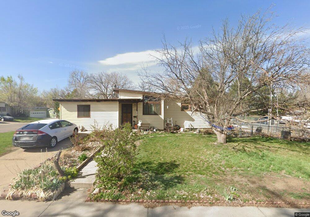
8191 W 59th Ave Arvada, CO 80004
Olde Town Arvada NeighborhoodEstimated Value: $534,000 - $587,000
3
Beds
1
Bath
1,250
Sq Ft
$453/Sq Ft
Est. Value
About This Home
This home is located at 8191 W 59th Ave, Arvada, CO 80004 and is currently estimated at $566,312, approximately $453 per square foot. 8191 W 59th Ave is a home located in Jefferson County with nearby schools including Lawrence Elementary School, Arvada K-8, and Arvada High School.
Ownership History
Date
Name
Owned For
Owner Type
Purchase Details
Closed on
Apr 24, 2001
Sold by
Lubojacky Martin D Lubojacky Ella M
Bought by
Lubojacky Ella M
Current Estimated Value
Home Financials for this Owner
Home Financials are based on the most recent Mortgage that was taken out on this home.
Original Mortgage
$93,000
Interest Rate
6.81%
Create a Home Valuation Report for This Property
The Home Valuation Report is an in-depth analysis detailing your home's value as well as a comparison with similar homes in the area
Home Values in the Area
Average Home Value in this Area
Purchase History
| Date | Buyer | Sale Price | Title Company |
|---|---|---|---|
| Lubojacky Ella M | -- | -- |
Source: Public Records
Mortgage History
| Date | Status | Borrower | Loan Amount |
|---|---|---|---|
| Closed | Lubojacky Ella M | $93,000 |
Source: Public Records
Tax History Compared to Growth
Tax History
| Year | Tax Paid | Tax Assessment Tax Assessment Total Assessment is a certain percentage of the fair market value that is determined by local assessors to be the total taxable value of land and additions on the property. | Land | Improvement |
|---|---|---|---|---|
| 2024 | $3,160 | $32,581 | $15,674 | $16,907 |
| 2023 | $3,160 | $32,581 | $15,674 | $16,907 |
| 2022 | $2,929 | $29,911 | $16,314 | $13,597 |
| 2021 | $2,978 | $30,773 | $16,784 | $13,989 |
| 2020 | $2,544 | $26,358 | $13,488 | $12,870 |
| 2019 | $2,509 | $26,358 | $13,488 | $12,870 |
| 2018 | $2,199 | $22,460 | $9,764 | $12,696 |
| 2017 | $2,013 | $22,460 | $9,764 | $12,696 |
| 2016 | $1,738 | $18,264 | $5,425 | $12,839 |
| 2015 | $1,434 | $18,264 | $5,425 | $12,839 |
| 2014 | $1,434 | $14,159 | $4,384 | $9,775 |
Source: Public Records
Map
Nearby Homes
- 6015 Brentwood St
- 8410 W 59th Ave
- 8420 W 59th Ave
- 7885 Barbara Ann Dr Unit D
- 6011 Yarrow St Unit G
- 6011 Yarrow St Unit I
- 6055 Cody St
- 5975 Dover St
- 6150 Carr St
- 6007 Yarrow St Unit D
- 6176 Ammons St
- 0000S Balsam St Unit 1
- 0000N Balsam St Unit 1
- 7707 Ralston Rd
- 7700 Robinson Way
- 5612 Carr St
- 5630 Dover St
- 5920 Estes Ct
- 5600 Dover St
- 7801 Grandview Ave
- 8001 Ralston Rd
- 8001 Ralston Rd
- 8201 W 59th Ave
- 5911 Balsam Place
- 8202 W 59th Ave
- 5921 Balsam Place
- 5931 Balsam Place
- 8305 W 59th Ave
- 5881 Balsam Place
- 5890 Brentwood St
- 5871 Balsam Place
- 8315 W 59th Ave
- 5880 Brentwood St
- 5861 Balsam Place
- 8325 W 59th Ave
- 5870 Brentwood St
- 8265 Brooks Dr
- 8243 Brooks Dr
- 6023 Balsam St
- 6020 Brentwood St