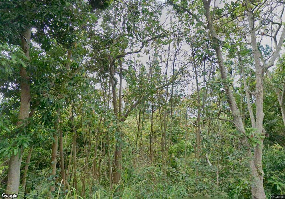
82-5885 Mamalahoa Hwy Captain Cook, HI 96704
Estimated Value: $640,000 - $900,000
3
Beds
2
Baths
1,012
Sq Ft
$790/Sq Ft
Est. Value
About This Home
This home is located at 82-5885 Mamalahoa Hwy, Captain Cook, HI 96704 and is currently estimated at $799,607, approximately $790 per square foot. 82-5885 Mamalahoa Hwy is a home located in Hawaii County with nearby schools including Konawaena Elementary School, Konawaena Middle School, and Konawaena High School.
Ownership History
Date
Name
Owned For
Owner Type
Purchase Details
Closed on
May 8, 2020
Sold by
Ono Delta H and Delta H Ono Trust
Bought by
Brown Ralph Charles
Current Estimated Value
Home Financials for this Owner
Home Financials are based on the most recent Mortgage that was taken out on this home.
Original Mortgage
$199,820
Outstanding Balance
$177,068
Interest Rate
3.3%
Mortgage Type
New Conventional
Estimated Equity
$622,539
Purchase Details
Closed on
Mar 19, 2018
Sold by
Ono Delta and Ono Delta H
Bought by
Ono Delta H and Delta H Ono Trust
Purchase Details
Closed on
Mar 25, 2016
Sold by
Terawaki Kenneth and Terawaki Clifford
Bought by
Ono Delta
Home Financials for this Owner
Home Financials are based on the most recent Mortgage that was taken out on this home.
Original Mortgage
$160,000
Interest Rate
3%
Mortgage Type
Adjustable Rate Mortgage/ARM
Create a Home Valuation Report for This Property
The Home Valuation Report is an in-depth analysis detailing your home's value as well as a comparison with similar homes in the area
Home Values in the Area
Average Home Value in this Area
Purchase History
| Date | Buyer | Sale Price | Title Company |
|---|---|---|---|
| Brown Ralph Charles | $206,000 | Tg | |
| Ono Delta H | -- | None Available | |
| Ono Delta | $200,000 | Or |
Source: Public Records
Mortgage History
| Date | Status | Borrower | Loan Amount |
|---|---|---|---|
| Open | Brown Ralph Charles | $199,820 | |
| Previous Owner | Ono Delta | $160,000 |
Source: Public Records
Tax History Compared to Growth
Tax History
| Year | Tax Paid | Tax Assessment Tax Assessment Total Assessment is a certain percentage of the fair market value that is determined by local assessors to be the total taxable value of land and additions on the property. | Land | Improvement |
|---|---|---|---|---|
| 2025 | $3,155 | $693,500 | $453,500 | $240,000 |
| 2024 | $3,155 | $680,200 | $449,400 | $230,800 |
| 2023 | $5,352 | $572,400 | $363,500 | $208,900 |
| 2022 | $1,593 | $170,400 | $7,000 | $163,400 |
| 2021 | $1,733 | $185,300 | $7,000 | $178,300 |
| 2020 | $4,155 | $444,400 | $224,600 | $219,800 |
| 2019 | $2,012 | $215,200 | $5,400 | $209,800 |
| 2018 | $1,643 | $175,700 | $5,400 | $170,300 |
| 2017 | $1,609 | $172,100 | $5,400 | $166,700 |
| 2016 | $1,559 | $168,500 | $5,400 | $163,100 |
| 2015 | -- | $143,800 | $5,400 | $138,400 |
| 2014 | -- | $144,600 | $5,400 | $139,200 |
Source: Public Records
Map
Nearby Homes
- 82-5957 Wakida Dr
- 83-5782 Napoopoo Rd
- 82-5900 Old Government Main Rd
- 82-1019 Koa Rd
- 82-6065 Mamalahoa Hwy Unit A101
- 82-6073-A Hawaii Belt Rd Unit 11B
- 83-5673 Kanele St
- 82-6077 Mamalahoa Hwy Unit 4
- 82-1097 Meli Rd
- 82-1171 Meli Rd
- 83-1008 Kahula Place
- 0 Mamalahoa Hwy Unit 717210
- 0 Mamalahoa Hwy Unit 723325
- 0 Mamalahoa Hwy Unit 723376
- 0 Rock Bottom Rd
- 82-1187 Greenwell Mountain Rd
- 82-1091 Kinue Rd
- 82-715 Kamakani St Unit 1
- 83-5611 Middle Keei Rd
- 82-6136 Road D Unit B
- 82-5885 Hawaii Belt Rd
- 82-5907 Government Main Rd
- 82-5886 Mamalahoa Hwy
- 82-5867 Hawaii Belt Rd
- 82-5868 Mamalahoa Hwy
- 82-5866 Mamalahoa Hwy
- 82-1026 Kalamalani Place
- 82-5929 Hawaii Belt Rd
- 82-1022 Kalamalani Place
- 82-5929 Mamalahoa Hwy
- 82-5932 Government Main Rd
- 82-1025 Kalamalani Place
- 82 Kalamalani Place
- 82-1020 Kalamalani Place
- 82 Manini St
- 82-1016 Kalamalani Place
- 82-1017-E Kalamalani Place
- 82-5841 Mamalahoa Hwy
- 82-932 Manini St
- 82-5938 Government Main Rd
