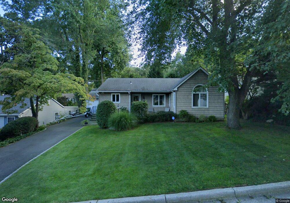
82 Barnes Rd Tarrytown, NY 10591
Estimated Value: $843,581 - $1,027,000
Studio
--
Bath
--
Sq Ft
7,405
Sq Ft Lot
About This Home
This home is located at 82 Barnes Rd, Tarrytown, NY 10591 and is currently estimated at $946,395. 82 Barnes Rd is a home located in Westchester County with nearby schools including Washington Irving Interm School, John Paulding School, and W L Morse School.
Ownership History
Date
Name
Owned For
Owner Type
Purchase Details
Closed on
Dec 3, 2003
Sold by
Macca David L and Macca Amy M
Bought by
Greenberg Mark
Current Estimated Value
Home Financials for this Owner
Home Financials are based on the most recent Mortgage that was taken out on this home.
Original Mortgage
$265,000
Interest Rate
5.96%
Mortgage Type
Purchase Money Mortgage
Create a Home Valuation Report for This Property
The Home Valuation Report is an in-depth analysis detailing your home's value as well as a comparison with similar homes in the area
Home Values in the Area
Average Home Value in this Area
Purchase History
| Date | Buyer | Sale Price | Title Company |
|---|---|---|---|
| Greenberg Mark | $425,000 | First American Title Ins Co |
Source: Public Records
Mortgage History
| Date | Status | Borrower | Loan Amount |
|---|---|---|---|
| Previous Owner | Greenberg Mark | $265,000 |
Source: Public Records
Tax History
| Year | Tax Paid | Tax Assessment Tax Assessment Total Assessment is a certain percentage of the fair market value that is determined by local assessors to be the total taxable value of land and additions on the property. | Land | Improvement |
|---|---|---|---|---|
| 2024 | $20,555 | $709,400 | $280,900 | $428,500 |
| 2023 | $19,296 | $661,200 | $248,600 | $412,600 |
| 2022 | $18,662 | $610,800 | $248,600 | $362,200 |
| 2021 | $18,443 | $554,700 | $248,600 | $306,100 |
| 2020 | $18,321 | $531,800 | $248,600 | $283,200 |
| 2019 | $17,733 | $531,800 | $248,600 | $283,200 |
| 2018 | $20,945 | $522,200 | $248,600 | $273,600 |
| 2017 | $10,461 | $498,200 | $248,600 | $249,600 |
| 2016 | $353,657 | $479,100 | $248,600 | $230,500 |
| 2015 | -- | $15,800 | $1,950 | $13,850 |
| 2014 | -- | $15,800 | $1,950 | $13,850 |
| 2013 | $8,380 | $15,800 | $1,950 | $13,850 |
Source: Public Records
Map
Nearby Homes
- 117 Crest Dr
- 43 Putnam Ave
- 383 Martling Ave
- 14 Croton Ave
- 18 N Broadway Unit 411
- 222 Martling Ave Unit 3R
- 349 Martling Ave
- 103 Carrollwood Dr
- 19 S Broadway Unit 4A
- 410 Benedict Ave Unit 5E
- 46 Trailhead Ln
- 154 Martling Ave Unit G3
- 154 Martling Ave Unit 5-J6
- 8 Maple Ave
- 57 Cobb Ln
- 23 Windle Park Unit B
- 10 Tappan Landing Rd Unit 53A
- 253 S Broadway
- 300 S Broadway Unit 6-H
- 300 S Broadway Unit 2D
Your Personal Tour Guide
Ask me questions while you tour the home.