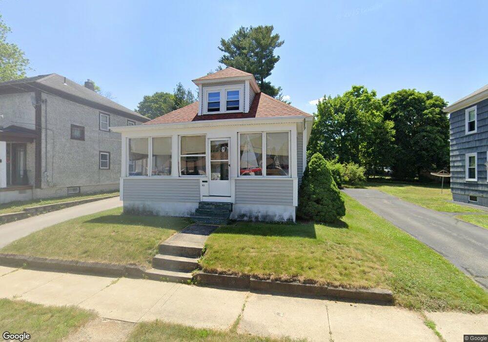
82 Blossom St Nashua, NH 03060
South End Nashua NeighborhoodEstimated Value: $378,620 - $464,000
2
Beds
1
Bath
1,114
Sq Ft
$366/Sq Ft
Est. Value
About This Home
This home is located at 82 Blossom St, Nashua, NH 03060 and is currently estimated at $408,155, approximately $366 per square foot. 82 Blossom St is a home located in Hillsborough County with nearby schools including Fairgrounds Elementary School, Fairgrounds Middle School, and Nashua High School South.
Ownership History
Date
Name
Owned For
Owner Type
Purchase Details
Closed on
May 15, 2020
Sold by
Gates Richard
Bought by
Richard Gates Ret and Gates
Current Estimated Value
Purchase Details
Closed on
Aug 12, 2003
Sold by
Horman Scott G and Horman Carol A
Bought by
Gates Richard
Home Financials for this Owner
Home Financials are based on the most recent Mortgage that was taken out on this home.
Original Mortgage
$188,411
Interest Rate
5.28%
Mortgage Type
Purchase Money Mortgage
Create a Home Valuation Report for This Property
The Home Valuation Report is an in-depth analysis detailing your home's value as well as a comparison with similar homes in the area
Home Values in the Area
Average Home Value in this Area
Purchase History
| Date | Buyer | Sale Price | Title Company |
|---|---|---|---|
| Richard Gates Ret | -- | None Available | |
| Gates Richard | $189,900 | -- |
Source: Public Records
Mortgage History
| Date | Status | Borrower | Loan Amount |
|---|---|---|---|
| Previous Owner | Gates Richard | $28,000 | |
| Previous Owner | Gates Richard | $188,411 |
Source: Public Records
Tax History Compared to Growth
Tax History
| Year | Tax Paid | Tax Assessment Tax Assessment Total Assessment is a certain percentage of the fair market value that is determined by local assessors to be the total taxable value of land and additions on the property. | Land | Improvement |
|---|---|---|---|---|
| 2024 | $5,435 | $341,800 | $133,600 | $208,200 |
| 2023 | $5,436 | $298,200 | $106,900 | $191,300 |
| 2022 | $5,388 | $298,200 | $106,900 | $191,300 |
| 2021 | $4,428 | $190,700 | $71,200 | $119,500 |
| 2020 | $4,312 | $190,700 | $71,200 | $119,500 |
| 2019 | $3,305 | $190,700 | $71,200 | $119,500 |
| 2018 | $4,045 | $190,700 | $71,200 | $119,500 |
| 2017 | $4,044 | $156,800 | $67,200 | $89,600 |
| 2016 | $3,931 | $156,800 | $67,200 | $89,600 |
| 2015 | $3,846 | $156,800 | $67,200 | $89,600 |
| 2014 | $3,771 | $156,800 | $67,200 | $89,600 |
Source: Public Records
Map
Nearby Homes
- 169A W Hollis St Unit 193
- 4 Badger St
- 22 Wilder St
- 97 Linwood St
- 30 Ledge St
- 22 New Dunstable Rd Unit 132133
- 8 Buck St Unit 10
- 22 Kern Dr
- 172 Ledge St
- 30 Gingras Dr
- 38 Central St
- 41 New Dunstable Rd Unit 371
- 63 Dexter St
- 15 Lovell St Unit 3
- 15 Lovell St Unit 10
- 5 Mulberry St
- 24 E Otterson St
- 7 Bitirnas St Unit U7
- 11 Charles St
- 1 Circle Ave