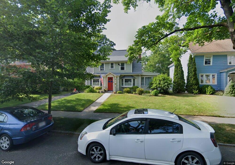
82 Bronson Terrace Springfield, MA 01108
Forest Park NeighborhoodEstimated Value: $338,134 - $395,000
4
Beds
2
Baths
2,106
Sq Ft
$175/Sq Ft
Est. Value
About This Home
This home is located at 82 Bronson Terrace, Springfield, MA 01108 and is currently estimated at $368,034, approximately $174 per square foot. 82 Bronson Terrace is a home located in Hampden County with nearby schools including Alice B. Beal Elementary School, Forest Park Middle School, and High School Of Commerce.
Ownership History
Date
Name
Owned For
Owner Type
Purchase Details
Closed on
Jan 22, 1979
Bought by
Thomas James D and Thomas Patricia E
Current Estimated Value
Create a Home Valuation Report for This Property
The Home Valuation Report is an in-depth analysis detailing your home's value as well as a comparison with similar homes in the area
Home Values in the Area
Average Home Value in this Area
Purchase History
| Date | Buyer | Sale Price | Title Company |
|---|---|---|---|
| Thomas James D | $32,000 | -- |
Source: Public Records
Mortgage History
| Date | Status | Borrower | Loan Amount |
|---|---|---|---|
| Open | Thomas James D | $85,000 | |
| Closed | Thomas James D | $45,000 | |
| Closed | Thomas James D | $15,000 |
Source: Public Records
Tax History
| Year | Tax Paid | Tax Assessment Tax Assessment Total Assessment is a certain percentage of the fair market value that is determined by local assessors to be the total taxable value of land and additions on the property. | Land | Improvement |
|---|---|---|---|---|
| 2025 | $4,731 | $301,700 | $38,900 | $262,800 |
| 2024 | $4,784 | $297,900 | $38,900 | $259,000 |
| 2023 | $4,639 | $272,100 | $36,600 | $235,500 |
| 2022 | $4,154 | $220,700 | $34,300 | $186,400 |
| 2021 | $3,757 | $198,800 | $31,100 | $167,700 |
| 2020 | $3,621 | $185,400 | $31,100 | $154,300 |
| 2019 | $3,625 | $184,200 | $32,200 | $152,000 |
| 2018 | $3,603 | $183,100 | $32,200 | $150,900 |
| 2017 | $3,486 | $177,300 | $32,200 | $145,100 |
| 2016 | $3,122 | $158,800 | $32,200 | $126,600 |
| 2015 | $2,956 | $150,300 | $32,200 | $118,100 |
Source: Public Records
Map
Nearby Homes
- 58 Appleton St
- 104 Appleton St
- 12 Carroll St
- 42 Carroll St
- 115 Tiffany St
- 35 Carlton St
- 134-136 Woodlawn St
- 132 Carroll St
- 179 Carver St
- 137 Carroll St
- 144 Washington St
- 114 Sylvan St Unit 116
- 27 Ormond St
- 52 Orlando St
- 302 -306 Sumner Ave
- 332-334 Forest Park Ave
- 264 Sumner Ave
- 153 Porter Lake Dr Unit 153
- 88-90 Beaumont St
- 96 Firglade Ave
- 90 Bronson Terrace
- 76 Bronson Terrace
- 96 Bronson Terrace
- 85 Olmsted Dr
- 91 Olmsted Dr
- 77 Olmsted Dr
- 100 Bronson Terrace
- 64 Bronson Terrace
- 97 Olmsted Dr
- 105 Olmsted Dr
- 65 Olmsted Dr
- 106 Bronson Terrace
- 58 Bronson Terrace
- 109 Olmsted Dr
- 109-111 Olmsted Dr
- 48 Park Edge Ave
- 57 Olmsted Dr Unit 59
- 89 Bronson Terrace
- 59 Olmsted Dr Unit 59
- 112 Bronson Terrace
Your Personal Tour Guide
Ask me questions while you tour the home.