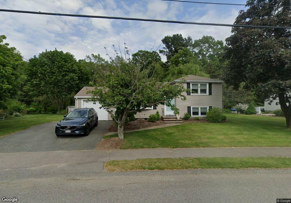
82 Carol Dr Dedham, MA 02026
Greenlodge NeighborhoodEstimated Value: $805,378 - $913,000
4
Beds
2
Baths
1,344
Sq Ft
$642/Sq Ft
Est. Value
About This Home
This home is located at 82 Carol Dr, Dedham, MA 02026 and is currently estimated at $862,345, approximately $641 per square foot. 82 Carol Dr is a home located in Norfolk County with nearby schools including Greenlodge Elementary School, Dedham Middle School, and Dedham High School.
Ownership History
Date
Name
Owned For
Owner Type
Purchase Details
Closed on
Mar 21, 1979
Bought by
Quinn James F and Quinn Marianne S
Current Estimated Value
Create a Home Valuation Report for This Property
The Home Valuation Report is an in-depth analysis detailing your home's value as well as a comparison with similar homes in the area
Home Values in the Area
Average Home Value in this Area
Purchase History
| Date | Buyer | Sale Price | Title Company |
|---|---|---|---|
| Quinn James F | -- | -- |
Source: Public Records
Mortgage History
| Date | Status | Borrower | Loan Amount |
|---|---|---|---|
| Open | Quinn James F | $60,000 | |
| Closed | Quinn James F | $75,000 | |
| Closed | Quinn James F | $100,000 |
Source: Public Records
Tax History Compared to Growth
Tax History
| Year | Tax Paid | Tax Assessment Tax Assessment Total Assessment is a certain percentage of the fair market value that is determined by local assessors to be the total taxable value of land and additions on the property. | Land | Improvement |
|---|---|---|---|---|
| 2025 | $9,584 | $759,400 | $386,700 | $372,700 |
| 2024 | $9,240 | $739,200 | $355,900 | $383,300 |
| 2023 | $8,825 | $687,300 | $330,400 | $356,900 |
| 2022 | $8,198 | $614,100 | $302,200 | $311,900 |
| 2021 | $7,845 | $573,900 | $302,200 | $271,700 |
| 2020 | $7,604 | $554,200 | $289,400 | $264,800 |
| 2019 | $7,454 | $526,800 | $262,700 | $264,100 |
| 2018 | $7,036 | $483,600 | $238,600 | $245,000 |
| 2017 | $7,030 | $476,300 | $229,600 | $246,700 |
| 2016 | $6,983 | $450,800 | $204,100 | $246,700 |
| 2015 | $6,375 | $401,700 | $198,700 | $203,000 |
| 2014 | $6,295 | $391,500 | $198,700 | $192,800 |
Source: Public Records
Map
Nearby Homes
- 34 Cranberry Ln
- 187 Vincent Rd
- 215 Blue Hill Dr
- 88 Fox Meadow Ln
- 22 Azalea Cir
- 360 Blue Hill Dr
- 243 Weatherbee Dr
- 24 Overlook Ave
- 87 Whitewood Rd
- 50 Ardmore Rd
- 82 Bonham Rd
- 35 Ardmore Rd
- 29 S Gate St
- 16 Norwich St
- 71 Hooper Rd
- 50 Sprague St
- 989 East St Unit 107
- 989 East St Unit 403
- 99 Paul St
- 85 Lancaster Rd