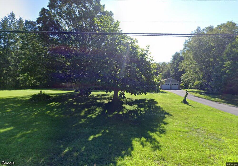
82 Chestnut Plain Rd South Deerfield, MA 01373
Estimated Value: $371,215 - $458,000
3
Beds
2
Baths
1,884
Sq Ft
$225/Sq Ft
Est. Value
About This Home
This home is located at 82 Chestnut Plain Rd, South Deerfield, MA 01373 and is currently estimated at $423,054, approximately $224 per square foot. 82 Chestnut Plain Rd is a home located in Franklin County with nearby schools including Whately Elementary School and Frontier Regional School.
Ownership History
Date
Name
Owned For
Owner Type
Purchase Details
Closed on
Oct 25, 2022
Sold by
Kennedy Roger D
Bought by
Kennedy Roger D and Kennedy Roger M
Current Estimated Value
Purchase Details
Closed on
Oct 29, 2007
Sold by
Kennedy-Whitney Michelle
Bought by
Kennedy-Whitney Michelle
Purchase Details
Closed on
Feb 6, 1963
Bought by
Kennedy Roger D and Kennedy Lise
Create a Home Valuation Report for This Property
The Home Valuation Report is an in-depth analysis detailing your home's value as well as a comparison with similar homes in the area
Home Values in the Area
Average Home Value in this Area
Purchase History
| Date | Buyer | Sale Price | Title Company |
|---|---|---|---|
| Kennedy Roger D | -- | None Available | |
| Kennedy-Whitney Michelle | -- | -- | |
| Kennedy Roger D | -- | -- |
Source: Public Records
Tax History Compared to Growth
Tax History
| Year | Tax Paid | Tax Assessment Tax Assessment Total Assessment is a certain percentage of the fair market value that is determined by local assessors to be the total taxable value of land and additions on the property. | Land | Improvement |
|---|---|---|---|---|
| 2025 | $3,690 | $276,600 | $125,400 | $151,200 |
| 2024 | $3,459 | $252,700 | $107,900 | $144,800 |
| 2023 | $3,343 | $235,400 | $102,800 | $132,600 |
| 2022 | $3,227 | $235,400 | $102,800 | $132,600 |
| 2021 | $3,267 | $219,000 | $102,800 | $116,200 |
| 2020 | $3,267 | $208,500 | $100,100 | $108,400 |
| 2019 | $3,236 | $208,500 | $100,100 | $108,400 |
| 2018 | $2,288 | $208,500 | $100,100 | $108,400 |
| 2017 | $3,253 | $208,500 | $100,100 | $108,400 |
| 2016 | $3,161 | $211,300 | $100,100 | $111,200 |
| 2015 | $3,347 | $207,000 | $95,800 | $111,200 |
| 2014 | $3,264 | $207,000 | $95,800 | $111,200 |
Source: Public Records
Map
Nearby Homes
- 320 West St
- 151 Pantry Rd
- 0 North St Unit 73407299
- 147 Pantry Rd
- LOT D Mountain Rd
- 32 Swamp Rd
- 3 Depot Rd
- 0 Pantry Rd Unit 73430264
- 0 Straits Rd
- 121 West St
- 0 Old Stage Rd Unit 73394977
- 34 Gore Ave
- 136 Main St
- Lot C Mountain Rd
- Lot A Mountain Rd
- Lot B Mountain Rd
- 24 Elm St
- 2B Linseed Rd
- 110 Old Amherst Rd
- 24 Graves St
- 76 Chestnut Plain Rd
- 74 Chestnut Plain Rd
- 73 Chestnut Plain Rd
- 69 Chestnut Plain Rd
- 62 Chestnut Plain Rd
- 61 Chestnut Plain Rd
- 105 Chestnut Plain Rd
- 68 Chestnut Plain Rd
- 56 Chestnut Plain Rd
- 56 Chestnut Plain Rd
- lot 43 Eastwood Ln
- 40 Chestnut Plain Rd Unit 1
- 40 Chestnut Plain Rd
- Lot 0 Chestnut Plain Rd
- 42 Chestnut Plain Rd Unit 42
- 42 Chestnut Plain Rd
- 49 Chestnut Plain Rd
- 42 Chestnut Plain Rd
- 22 Claverack Rd
- 1 Lasalle Dr