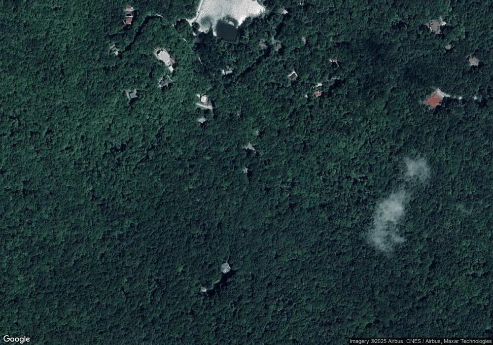
82 Chestnut Ridge Ln Dillard, GA 30537
Estimated Value: $249,000 - $371,000
3
Beds
2
Baths
1,296
Sq Ft
$220/Sq Ft
Est. Value
About This Home
This home is located at 82 Chestnut Ridge Ln, Dillard, GA 30537 and is currently estimated at $284,640, approximately $219 per square foot. 82 Chestnut Ridge Ln is a home located in Rabun County with nearby schools including Rabun County Primary School and Rabun County High School.
Ownership History
Date
Name
Owned For
Owner Type
Purchase Details
Closed on
Oct 31, 2014
Sold by
Blunt Robert C
Bought by
Blunt Robert C
Current Estimated Value
Purchase Details
Closed on
Jan 1, 1993
Sold by
Blunt Robert C and Blunt Bobbie F
Bought by
Blunt Robert C & Bobbie F Trust
Purchase Details
Closed on
Oct 1, 1976
Sold by
Mcclure Larry P and Mcclure Mason M
Bought by
Blunt Robert C and Blunt Bobbie F
Purchase Details
Closed on
Sep 1, 1971
Create a Home Valuation Report for This Property
The Home Valuation Report is an in-depth analysis detailing your home's value as well as a comparison with similar homes in the area
Home Values in the Area
Average Home Value in this Area
Purchase History
| Date | Buyer | Sale Price | Title Company |
|---|---|---|---|
| Blunt Robert C | -- | -- | |
| Blunt Robert C | -- | -- | |
| Blunt Robert C & Bobbie F Trust | $4,000 | -- | |
| Blunt Robert C & Bobbie F Trust | $4,000 | -- | |
| Blunt Robert C | $4,000 | -- | |
| Blunt Robert C | $4,000 | -- | |
| -- | $1,500 | -- | |
| -- | $1,500 | -- |
Source: Public Records
Tax History Compared to Growth
Tax History
| Year | Tax Paid | Tax Assessment Tax Assessment Total Assessment is a certain percentage of the fair market value that is determined by local assessors to be the total taxable value of land and additions on the property. | Land | Improvement |
|---|---|---|---|---|
| 2025 | $1,133 | $70,604 | $15,000 | $55,604 |
| 2024 | $1,082 | $67,421 | $15,000 | $52,421 |
| 2023 | $961 | $52,479 | $10,800 | $41,679 |
| 2022 | $933 | $50,968 | $10,800 | $40,168 |
| 2021 | $875 | $46,685 | $10,800 | $35,885 |
| 2020 | $857 | $44,206 | $10,800 | $33,406 |
| 2019 | $863 | $44,206 | $10,800 | $33,406 |
| 2018 | $808 | $41,212 | $10,800 | $30,412 |
| 2017 | $775 | $41,212 | $10,800 | $30,412 |
| 2016 | $777 | $41,212 | $10,800 | $30,412 |
| 2015 | $757 | $39,333 | $10,800 | $28,533 |
| 2014 | $761 | $39,333 | $10,800 | $28,533 |
Source: Public Records
Map
Nearby Homes
- 0 Maple Leaf Unit TRACT 6 10609401
- 6 Thunderhead Ln
- 0 Thunderhead Ln Unit 10636844
- 0 Bald Mountain Rd Unit LOT 8 10361713
- 0 Bald Mountain Rd Unit 55,57 10472239
- 115 Dam Lake Dr
- Lot 171 Ridge Pole Estates
- 0 Knob Dr Unit 10619021
- 5 Knob Dr
- 249 Dalton Dr
- 0 Rainbow Lake Dr Unit 38B 10472232
- 0 Raven Fork Trail Unit 10311099
- 0 Raven Fork Trail Unit 10594366
- 3 Berkshire Ln Unit 3
- 3 Berkshire Ln Unit 5
- 198 Upper Scenic Dr
- 3315 Bald Mountain Rd
- Lot 0172 Ridge Pole Estates
- 160 Ridgepole Dr
- 0 Honey Bear Ln Unit 10595313
- 46 Chestnut Ridge Ln
- 55 Chestnut Ridge Ln
- 490 Joe Bleckley Rd
- 17 Chestnut Ridge Ln
- 423 Maple Leaf Dr
- 291 Maple Leaf Dr
- 376 Maple Leaf Dr
- 379 Wild Azalea Dr
- 375 Wild Azalea Dr
- 276 Maple Leaf Dr
- 263 Maple Leaf Dr
- 0 Wild Azalea Dr Unit 62978
- 0 Wild Azalea Dr Unit 40021
- 0 Maple Leaf Unit 76 7357662
- 0 Maple Leaf Unit 10366816
- 0 Maple Leaf Unit 20062504
- 0 Maple Leaf Unit 8896214
- 0 Maple Leaf Unit 8896213
- 0 Maple Leaf Unit 8895597
- 354 Wild Azalea Dr
