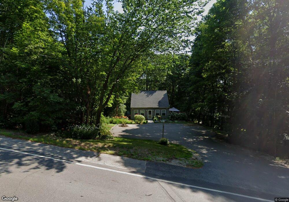
82 Dane Rd Center Harbor, NH 03226
Center Harbor NeighborhoodEstimated Value: $232,000 - $433,000
2
Beds
2
Baths
1,119
Sq Ft
$301/Sq Ft
Est. Value
About This Home
This home is located at 82 Dane Rd, Center Harbor, NH 03226 and is currently estimated at $336,999, approximately $301 per square foot. 82 Dane Rd is a home with nearby schools including Inter-Lakes Elementary School, Sandwich Central School, and Inter-Lakes Middle High School.
Ownership History
Date
Name
Owned For
Owner Type
Purchase Details
Closed on
Dec 6, 2023
Sold by
Lacasse David and Lacasse Gayle E
Bought by
Jrk 2023 T and Jrk Lacasse
Current Estimated Value
Purchase Details
Closed on
Dec 28, 2021
Sold by
Bankosh Katherine E
Bought by
Lacasse David and Lacasse Gayle E
Home Financials for this Owner
Home Financials are based on the most recent Mortgage that was taken out on this home.
Original Mortgage
$197,300
Interest Rate
3.11%
Mortgage Type
Purchase Money Mortgage
Create a Home Valuation Report for This Property
The Home Valuation Report is an in-depth analysis detailing your home's value as well as a comparison with similar homes in the area
Home Values in the Area
Average Home Value in this Area
Purchase History
| Date | Buyer | Sale Price | Title Company |
|---|---|---|---|
| Jrk 2023 T | -- | None Available | |
| Jrk 2023 T | -- | None Available | |
| Lacasse David | $225,333 | None Available | |
| Lacasse David | $225,333 | None Available | |
| Lacasse David | $225,333 | None Available |
Source: Public Records
Mortgage History
| Date | Status | Borrower | Loan Amount |
|---|---|---|---|
| Previous Owner | Lacasse David | $197,300 |
Source: Public Records
Tax History
| Year | Tax Paid | Tax Assessment Tax Assessment Total Assessment is a certain percentage of the fair market value that is determined by local assessors to be the total taxable value of land and additions on the property. | Land | Improvement |
|---|---|---|---|---|
| 2025 | $2,767 | $233,680 | $91,500 | $142,180 |
| 2024 | $2,498 | $233,680 | $91,500 | $142,180 |
| 2023 | $2,282 | $232,840 | $91,500 | $141,340 |
| 2022 | $2,093 | $232,840 | $91,500 | $141,340 |
| 2021 | $2,293 | $150,150 | $51,700 | $98,450 |
| 2020 | $2,271 | $148,150 | $51,700 | $96,450 |
| 2019 | $2,255 | $148,150 | $51,700 | $96,450 |
| 2018 | $2,124 | $148,150 | $51,700 | $96,450 |
| 2017 | $2,017 | $145,350 | $51,700 | $93,650 |
| 2016 | $2,196 | $152,700 | $52,900 | $99,800 |
| 2015 | $2,196 | $152,700 | $52,900 | $99,800 |
| 2013 | $1,442 | $109,300 | $52,900 | $56,400 |
Source: Public Records
Map
Nearby Homes
- 9 Kelsea Ave
- 15 Kelsea Ave
- 14 Lake Shore Dr Unit G
- 38 Lake Shore Dr Unit 10
- 24 Dew Point Ln
- 78 Lake Shore Dr Unit 14
- 122 Coe Hill Rd
- 307 Dane Rd
- 15 Merrivale Rd
- 0 Merrivale Rd Unit 54
- 67 Kline Rd
- 97 & 104 Burton Rd
- 320 Redding Ln
- 53 Bay Dr
- 22 Tiger Trail
- 196 Black Cat Island Rd
- 36 Tiger Trail
- 30 Leopards Leap
- 20 True Rd Unit 52
- 20 True Rd Unit 101
Your Personal Tour Guide
Ask me questions while you tour the home.