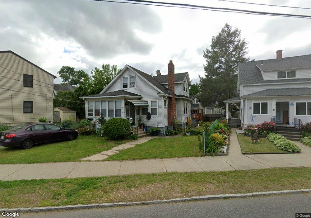
82 Dorset St Springfield, MA 01108
Forest Park NeighborhoodEstimated Value: $288,385 - $308,000
3
Beds
1
Bath
1,618
Sq Ft
$183/Sq Ft
Est. Value
About This Home
This home is located at 82 Dorset St, Springfield, MA 01108 and is currently estimated at $296,096, approximately $183 per square foot. 82 Dorset St is a home located in Hampden County with nearby schools including Washington Elementary School, M Marcus Kiley Middle, and High School Of Commerce.
Ownership History
Date
Name
Owned For
Owner Type
Purchase Details
Closed on
Nov 2, 2007
Sold by
Valentine Kenneth W and Valentine Scamardella-Valentine T
Bought by
Matos Miguel A and Matos Rafael
Current Estimated Value
Home Financials for this Owner
Home Financials are based on the most recent Mortgage that was taken out on this home.
Original Mortgage
$146,530
Interest Rate
6.43%
Mortgage Type
Purchase Money Mortgage
Purchase Details
Closed on
Apr 29, 1988
Sold by
Clancy Brian J
Bought by
Scamardella Michael
Home Financials for this Owner
Home Financials are based on the most recent Mortgage that was taken out on this home.
Original Mortgage
$93,000
Interest Rate
9.86%
Mortgage Type
Purchase Money Mortgage
Create a Home Valuation Report for This Property
The Home Valuation Report is an in-depth analysis detailing your home's value as well as a comparison with similar homes in the area
Home Values in the Area
Average Home Value in this Area
Purchase History
| Date | Buyer | Sale Price | Title Company |
|---|---|---|---|
| Matos Miguel A | $148,830 | -- | |
| Scamardella Michael | $98,000 | -- |
Source: Public Records
Mortgage History
| Date | Status | Borrower | Loan Amount |
|---|---|---|---|
| Open | Scamardella Michael | $148,727 | |
| Closed | Matos Miguel A | $146,530 | |
| Previous Owner | Scamardella Michael | $100,000 | |
| Previous Owner | Scamardella Michael | $93,000 |
Source: Public Records
Tax History
| Year | Tax Paid | Tax Assessment Tax Assessment Total Assessment is a certain percentage of the fair market value that is determined by local assessors to be the total taxable value of land and additions on the property. | Land | Improvement |
|---|---|---|---|---|
| 2025 | $4,067 | $259,400 | $37,000 | $222,400 |
| 2024 | $3,875 | $241,300 | $37,000 | $204,300 |
| 2023 | $3,376 | $198,000 | $35,300 | $162,700 |
| 2022 | $3,094 | $164,400 | $35,300 | $129,100 |
| 2021 | $2,899 | $153,400 | $32,100 | $121,300 |
| 2020 | $2,713 | $138,900 | $32,100 | $106,800 |
| 2019 | $2,706 | $137,500 | $32,100 | $105,400 |
| 2018 | $2,587 | $135,900 | $32,100 | $103,800 |
| 2017 | $2,587 | $131,600 | $32,100 | $99,500 |
| 2016 | $2,249 | $114,400 | $32,100 | $82,300 |
| 2015 | $2,223 | $113,000 | $32,100 | $80,900 |
Source: Public Records
Map
Nearby Homes
- 61 Spencer St
- 72 Larkspur St
- 34 Castle St
- 31 Trinity Terrace
- 59 Daviston St
- 61-63 Eloise St
- 78 Whittier St
- 69 Belvidere St
- 144 Washington St
- 38 Manchester Terrace
- 100 Belvidere St
- 120-122 E Alvord St
- 52 Orlando St
- 44 Meredith St
- 55 Mandalay Rd
- 119 Powell Ave
- 186 Belvidere St
- 49-51 Tulsa St
- 47 Hartford Terrace
- 132 Carroll St
Your Personal Tour Guide
Ask me questions while you tour the home.