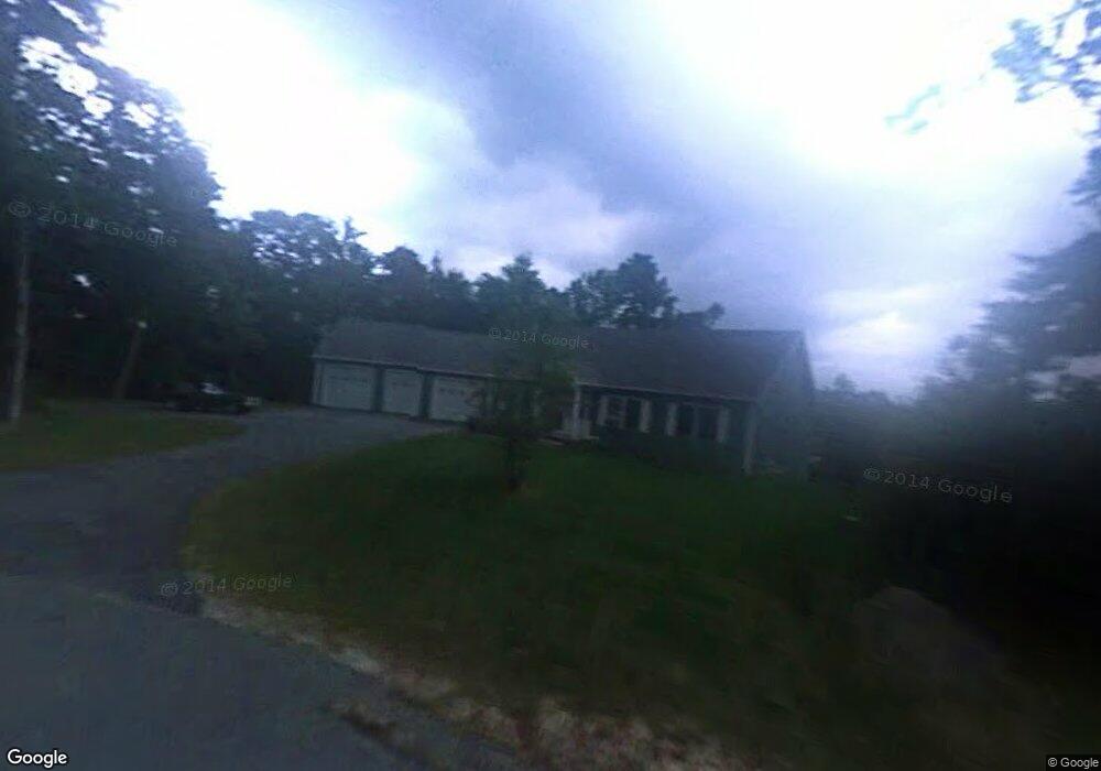
82 Dowd Ln Sunapee, NH 03782
Estimated Value: $602,000 - $827,000
About This Home
This home is located at 82 Dowd Ln, Sunapee, NH 03782 and is currently estimated at $692,034, approximately $293 per square foot. 82 Dowd Ln is a home with nearby schools including Sunapee Central School, Sunapee Middle High School, and Sunapee Senior High School.
Ownership History
We collect this data history from publicly available records. To have your information removed, we recommend requesting removal directly through your county’s website.
Purchase Details
Home Financials for this Owner
Home Financials are based on the most recent Mortgage that was taken out on this home.Home Values in the Area
Average Home Value in this Area
Purchase History
We collect this data history from publicly available records. To have your information removed, we recommend requesting removal directly through your county’s website.
| Date | Buyer | Sale Price | Title Company |
|---|---|---|---|
| $374,000 | -- |
Mortgage History
We collect this data history from publicly available records. To have your information removed, we recommend requesting removal directly through your county’s website.
| Date | Status | Borrower | Loan Amount |
|---|---|---|---|
| Open | $300,000 | ||
| Closed | $290,000 | ||
| Closed | $290,000 |
Tax History
We collect this data history from publicly available records. To have your information removed, we recommend requesting removal directly through your county’s website.
| Year | Tax Paid | Tax Assessment Tax Assessment Total Assessment is a certain percentage of the fair market value that is determined by local assessors to be the total taxable value of land and additions on the property. | Land | Improvement |
|---|---|---|---|---|
| 2025 | $6,155 | $583,400 | $206,500 | $376,900 |
| 2024 | $3,317 | $331,400 | $87,400 | $244,000 |
| 2023 | $5,647 | $583,400 | $206,500 | $376,900 |
| 2022 | $4,636 | $331,400 | $87,400 | $244,000 |
| 2021 | $4,517 | $331,400 | $87,400 | $244,000 |
| 2020 | $4,587 | $331,400 | $87,400 | $244,000 |
| 2019 | $4,701 | $295,100 | $66,800 | $228,300 |
| 2018 | $4,595 | $295,100 | $66,800 | $228,300 |
| 2017 | $4,536 | $295,100 | $66,800 | $228,300 |
| 2016 | $4,435 | $295,100 | $66,800 | $228,300 |
| 2015 | $4,669 | $310,900 | $61,600 | $249,300 |
| 2014 | $4,719 | $310,900 | $61,600 | $249,300 |
| 2013 | $4,545 | $310,900 | $61,600 | $249,300 |
Map
- 0 Central St
- 121 Garnet St
- 28 Chase St
- 78 Garnet St
- 55 High St
- 0 Harbor Hill Rd Unit 5092680
- 91 Lake Ave
- 16 Heritage Dr
- Lot 39 Sunny Ln
- 76 Tonset Slope
- Lot 31 North Rd
- 6 Paquette Ln
- 22 Pine Ridge Rd
- 30 Demijen Rd
- 0 Northshore Rd Unit 30
- 49/51 Northshore Dr
- 21 Caldwell Ln
- 10 Twin Birch Ln
- 0 Woodland Rd Unit 2
- 442 Jobs Creek Rd
- 0 Dowd Ln
- 76 Dowd Ln
- 47 Dowd Ln
- 68 Dowd Ln
- 56 Dowd Ln
- 48 Soonipi Cir
- 39 Dowd Ln
- 37 Sargent Rd
- 14 Sargent Rd
- 32 Orchard Cir
- 8 Soonipi Cir Unit A
- 8 Soonipi Cir Unit 8D
- 8 Soonipi Cir Unit 8A
- 8 Soonipi Cir Unit 8B
- 8 Soonipi Cir
- 8 Soonipi Cir Unit 8C
- 8 Soonipi Cir Unit 8E
- 8 Soonipi Cir
- 8 Soonipi Cir Unit B
- 8F Soonipi Cir
Ask me questions while you tour the home.