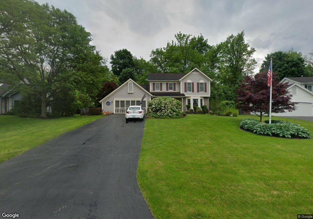
82 E Pointe Fairport, NY 14450
Estimated Value: $408,000 - $481,000
3
Beds
3
Baths
1,946
Sq Ft
$231/Sq Ft
Est. Value
About This Home
This home is located at 82 E Pointe, Fairport, NY 14450 and is currently estimated at $449,299, approximately $230 per square foot. 82 E Pointe is a home located in Monroe County with nearby schools including Dudley School, Northside School, and Johanna Perrin Middle School.
Ownership History
Date
Name
Owned For
Owner Type
Purchase Details
Closed on
Nov 16, 2005
Sold by
Curley Matthew
Bought by
Miller Megan
Current Estimated Value
Home Financials for this Owner
Home Financials are based on the most recent Mortgage that was taken out on this home.
Original Mortgage
$50,000
Outstanding Balance
$27,446
Interest Rate
6.07%
Mortgage Type
New Conventional
Estimated Equity
$421,853
Purchase Details
Closed on
Jul 22, 1996
Purchase Details
Closed on
Oct 28, 1993
Sold by
Crosstown Construction In
Bought by
Menton Jean L Simpson John H
Create a Home Valuation Report for This Property
The Home Valuation Report is an in-depth analysis detailing your home's value as well as a comparison with similar homes in the area
Home Values in the Area
Average Home Value in this Area
Purchase History
| Date | Buyer | Sale Price | Title Company |
|---|---|---|---|
| Miller Megan | $225,000 | Scott Odorisi | |
| -- | -- | -- | |
| Menton Jean L Simpson John H | $170,274 | -- |
Source: Public Records
Mortgage History
| Date | Status | Borrower | Loan Amount |
|---|---|---|---|
| Open | Miller Megan | $50,000 |
Source: Public Records
Tax History
| Year | Tax Paid | Tax Assessment Tax Assessment Total Assessment is a certain percentage of the fair market value that is determined by local assessors to be the total taxable value of land and additions on the property. | Land | Improvement |
|---|---|---|---|---|
| 2024 | $9,734 | $264,400 | $64,000 | $200,400 |
| 2023 | $9,373 | $264,400 | $64,000 | $200,400 |
| 2022 | $9,671 | $264,400 | $64,000 | $200,400 |
| 2021 | $9,660 | $264,400 | $64,000 | $200,400 |
| 2020 | $8,786 | $264,400 | $64,000 | $200,400 |
| 2019 | $8,067 | $264,400 | $64,000 | $200,400 |
| 2018 | $8,513 | $264,400 | $64,000 | $200,400 |
| 2017 | $5,141 | $244,800 | $64,000 | $180,800 |
| 2016 | $8,067 | $244,800 | $64,000 | $180,800 |
| 2015 | -- | $244,800 | $64,000 | $180,800 |
| 2014 | -- | $244,800 | $64,000 | $180,800 |
Source: Public Records
Map
Nearby Homes
- 19 Williamsburg Dr
- 16 Mount Vernon Cir
- 95 Summit St
- 55 Frank St
- 53 Squirrels Heath Rd
- 70 High St
- 3 Rockford Ln
- 70 Summit St
- 582 Watson Rd
- 83 Country Downs Cir
- 142 S Main St
- 28 Misty Pine Rd
- 531 MacEdon Center Rd
- 18 Deland Park A
- 8 Packet Boat Dr
- 38 Winchester Dr
- 10 Margo Dr
- 6 Noahs Bluff
- 8 Noahs Bluff
- 4 Noahs Bluff
Your Personal Tour Guide
Ask me questions while you tour the home.