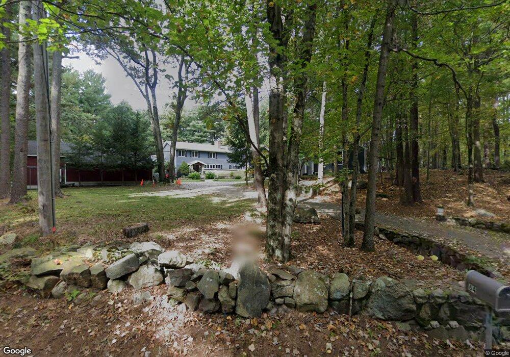
82 Green St Canton, MA 02021
Estimated Value: $1,228,000 - $1,937,000
About This Home
This home is located at 82 Green St, Canton, MA 02021 and is currently estimated at $1,612,734, approximately $959 per square foot. 82 Green St is a home located in Norfolk County with nearby schools including Canton High School, Boston Renaissance Charter Public School, and Academy of the Pacific Rim Charter Public School.
Ownership History
We collect this data history from publicly available records. To have your information removed, we recommend requesting removal directly through your county’s website.
Purchase Details
Home Financials for this Owner
Home Financials are based on the most recent Mortgage that was taken out on this home.Home Values in the Area
Average Home Value in this Area
Purchase History
We collect this data history from publicly available records. To have your information removed, we recommend requesting removal directly through your county’s website.
| Date | Buyer | Sale Price | Title Company |
|---|---|---|---|
| $577,000 | -- |
Mortgage History
We collect this data history from publicly available records. To have your information removed, we recommend requesting removal directly through your county’s website.
| Date | Status | Borrower | Loan Amount |
|---|---|---|---|
| Open | $200,000 |
Tax History
We collect this data history from publicly available records. To have your information removed, we recommend requesting removal directly through your county’s website.
| Year | Tax Paid | Tax Assessment Tax Assessment Total Assessment is a certain percentage of the fair market value that is determined by local assessors to be the total taxable value of land and additions on the property. | Land | Improvement |
|---|---|---|---|---|
| 2025 | $15,615 | $1,578,900 | $447,400 | $1,131,500 |
| 2024 | $15,273 | $1,531,900 | $430,300 | $1,101,600 |
| 2023 | $14,454 | $1,367,500 | $430,300 | $937,200 |
| 2022 | $14,470 | $1,274,900 | $454,900 | $820,000 |
| 2021 | $14,191 | $1,163,200 | $413,500 | $749,700 |
| 2020 | $13,662 | $1,117,100 | $393,800 | $723,300 |
| 2019 | $13,609 | $1,097,500 | $357,900 | $739,600 |
| 2018 | $13,217 | $1,064,200 | $344,200 | $720,000 |
| 2017 | $13,353 | $1,044,000 | $337,500 | $706,500 |
| 2016 | $13,129 | $1,026,500 | $329,200 | $697,300 |
| 2015 | $12,796 | $998,100 | $319,700 | $678,400 |
Map
- 1104 Davenport Ave Unit 1104
- 2303 Davenport Ave
- 1375 Brush Hill Rd
- 130 University Ave Unit 1412
- 34 Trenton Rd
- 90 Durham Rd
- 49 Algonquin Rd
- 19 Altoona Rd
- 124 Gainsville Rd
- 130 Gainsville Rd
- 1632 Canton Ave
- 36 Lancaster Rd
- 10 Peartree Dr
- 1066 Hillside St
- 20 Bonney Ln
- 135 Milton St
- 243 Weatherbee Dr
- 22 Azalea Cir
- 214 Sprague St
- 42 Stoughton Rd
Ask me questions while you tour the home.