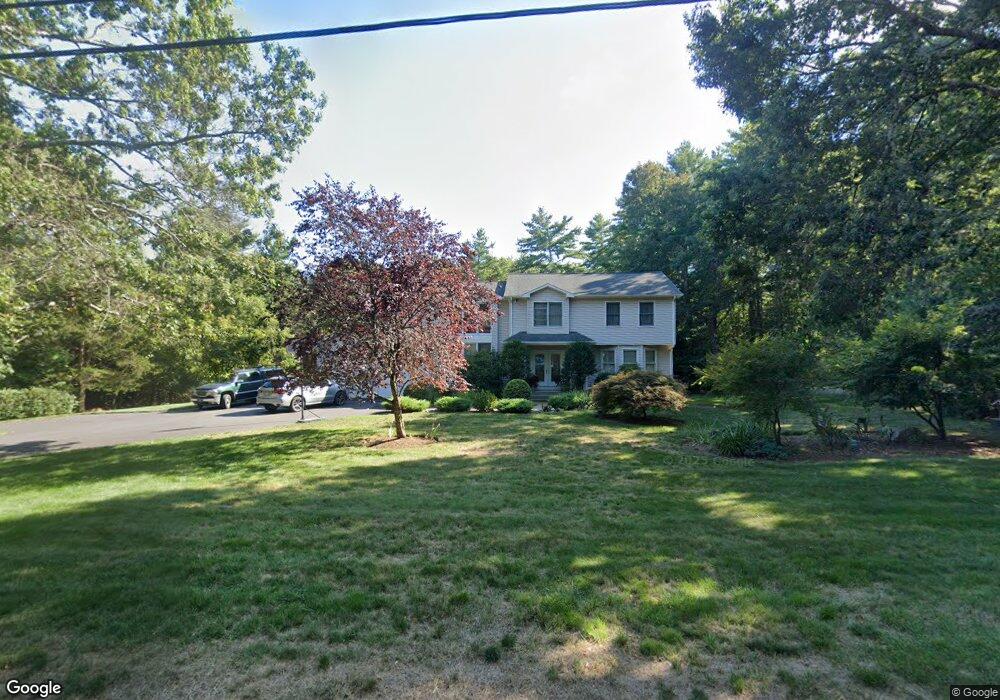
82 Howland Rd Assonet, MA 02702
Estimated Value: $684,000 - $928,000
3
Beds
4
Baths
2,711
Sq Ft
$300/Sq Ft
Est. Value
About This Home
This home is located at 82 Howland Rd, Assonet, MA 02702 and is currently estimated at $812,992, approximately $299 per square foot. 82 Howland Rd is a home located in Bristol County with nearby schools including Freetown Elementary School, George R Austin Intermediate School, and Freetown-Lakeville Middle School.
Ownership History
Date
Name
Owned For
Owner Type
Purchase Details
Closed on
Jun 29, 2004
Sold by
Ellis Jennifer A and Ellis Matthew P
Bought by
Francisco Cheryl Boyer and Francisco Manual A
Current Estimated Value
Home Financials for this Owner
Home Financials are based on the most recent Mortgage that was taken out on this home.
Original Mortgage
$370,000
Interest Rate
6.32%
Mortgage Type
Purchase Money Mortgage
Purchase Details
Closed on
Jun 14, 2002
Sold by
Coimbra Paul J and Coimbra Natalie C
Bought by
Ellis Matthew P and Ellis Jennifer A
Create a Home Valuation Report for This Property
The Home Valuation Report is an in-depth analysis detailing your home's value as well as a comparison with similar homes in the area
Home Values in the Area
Average Home Value in this Area
Purchase History
| Date | Buyer | Sale Price | Title Company |
|---|---|---|---|
| Francisco Cheryl Boyer | $473,000 | -- | |
| Ellis Matthew P | $382,000 | -- |
Source: Public Records
Mortgage History
| Date | Status | Borrower | Loan Amount |
|---|---|---|---|
| Open | Ellis Matthew P | $317,500 | |
| Closed | Ellis Matthew P | $340,061 | |
| Closed | Ellis Matthew P | $370,000 | |
| Previous Owner | Ellis Matthew P | $288,000 |
Source: Public Records
Tax History Compared to Growth
Tax History
| Year | Tax Paid | Tax Assessment Tax Assessment Total Assessment is a certain percentage of the fair market value that is determined by local assessors to be the total taxable value of land and additions on the property. | Land | Improvement |
|---|---|---|---|---|
| 2025 | $6,806 | $686,800 | $164,800 | $522,000 |
| 2024 | $6,829 | $654,700 | $155,500 | $499,200 |
| 2023 | $6,692 | $624,800 | $140,000 | $484,800 |
| 2022 | $6,379 | $528,900 | $118,600 | $410,300 |
| 2021 | $6,179 | $486,500 | $107,900 | $378,600 |
| 2020 | $6,211 | $477,000 | $103,800 | $373,200 |
| 2019 | $5,899 | $448,600 | $98,800 | $349,800 |
| 2018 | $5,002 | $375,800 | $98,800 | $277,000 |
| 2017 | $4,879 | $366,300 | $98,800 | $267,500 |
| 2016 | $4,739 | $362,000 | $96,000 | $266,000 |
| 2015 | $4,645 | $360,100 | $96,000 | $264,100 |
| 2014 | $4,488 | $355,900 | $94,000 | $261,900 |
Source: Public Records
Map
Nearby Homes
- 95 Howland Rd
- 36 Mill St
- 6 Weetamoe Dr
- 7 Great Cedar Crossing
- 15 Slab Bridge Rd
- 20 Slab Bridge Rd
- 10 Mill St
- 15 Leonard Ave
- 5 Nottingham Way
- 1 Elaine Cir
- 195 Slab Bridge Rd
- 10 Dean St
- 1 Elm St
- Lot 2 Sherwood Ln
- Lot 1 Sherwood Ln
- 15 N Main St
- 5 Hadley Heights Way
- 6 Hadley Heights Way
- 4 Hadley Heights Way
- 42 High St