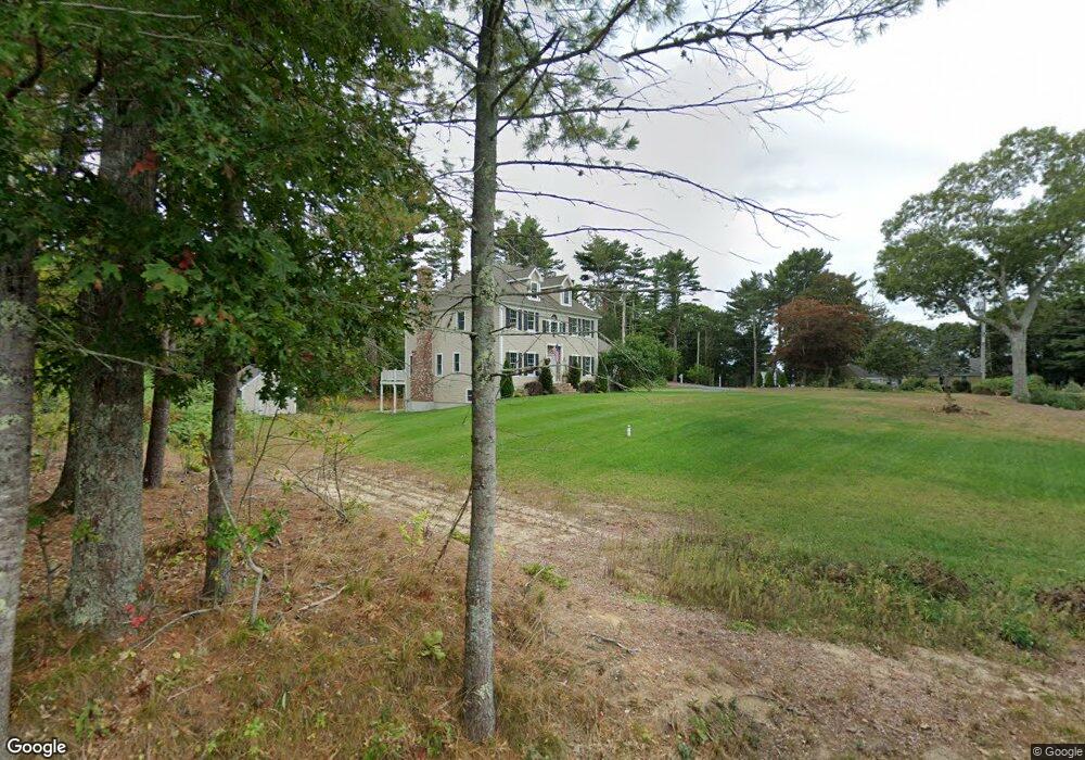
82 Lewis Point Rd Bourne, MA 2532
Buzzards Bay NeighborhoodEstimated Value: $1,152,000 - $1,269,000
4
Beds
3
Baths
2,742
Sq Ft
$436/Sq Ft
Est. Value
About This Home
This home is located at 82 Lewis Point Rd, Bourne, MA 2532 and is currently estimated at $1,196,497, approximately $436 per square foot. 82 Lewis Point Rd is a home located in Barnstable County with nearby schools including Bourne High School and St Margaret Regional School.
Ownership History
Date
Name
Owned For
Owner Type
Purchase Details
Closed on
Sep 15, 2020
Sold by
82 Lewis Point Rt
Bought by
Mariano Raymond V and Mariano Antonia K
Current Estimated Value
Purchase Details
Closed on
Oct 1, 2014
Sold by
Leach Gregory
Bought by
82 Lewis Point Rt
Purchase Details
Closed on
Jul 21, 2011
Sold by
Black Fin Capital Llc
Bought by
Leach Gregory
Purchase Details
Closed on
Dec 22, 2010
Sold by
Leach Dana and Chauvin Karyn
Bought by
Black Fin Capital Llc
Purchase Details
Closed on
Aug 18, 2010
Sold by
Webster Bk
Bought by
Leach Dana and Chauvin Karyn
Purchase Details
Closed on
Mar 29, 2010
Sold by
Patrick Ronald A
Bought by
Webster Bk
Create a Home Valuation Report for This Property
The Home Valuation Report is an in-depth analysis detailing your home's value as well as a comparison with similar homes in the area
Home Values in the Area
Average Home Value in this Area
Purchase History
| Date | Buyer | Sale Price | Title Company |
|---|---|---|---|
| Mariano Raymond V | $762,500 | None Available | |
| 82 Lewis Point Rt | $275,000 | -- | |
| Leach Gregory | -- | -- | |
| Black Fin Capital Llc | -- | -- | |
| Leach Dana | $235,000 | -- | |
| Webster Bk | $219,000 | -- |
Source: Public Records
Tax History
| Year | Tax Paid | Tax Assessment Tax Assessment Total Assessment is a certain percentage of the fair market value that is determined by local assessors to be the total taxable value of land and additions on the property. | Land | Improvement |
|---|---|---|---|---|
| 2025 | $8,990 | $1,151,100 | $316,400 | $834,700 |
| 2024 | $8,320 | $1,037,400 | $301,300 | $736,100 |
| 2023 | $8,148 | $924,900 | $266,700 | $658,200 |
| 2022 | $7,705 | $763,600 | $236,000 | $527,600 |
| 2021 | $7,538 | $699,900 | $214,700 | $485,200 |
| 2020 | $7,371 | $686,300 | $212,700 | $473,600 |
| 2019 | $6,799 | $646,900 | $212,700 | $434,200 |
| 2018 | $6,449 | $611,900 | $202,600 | $409,300 |
| 2017 | $3,539 | $343,600 | $171,000 | $172,600 |
| 2016 | $3,117 | $306,800 | $171,000 | $135,800 |
| 2015 | $2,566 | $254,800 | $171,000 | $83,800 |
Source: Public Records
Map
Nearby Homes
- 73 Lewis Point Rd
- 0 Lewis Point Rd
- 810 Head of The Bay Rd
- 9 Hideaway Rd Unit F
- 13 Hideaway Village Unit G
- 23 Alderberry Rd
- 48 Maple St
- 58 Maple St
- 11 Buzzards Bay Dr
- 4 Van Bummel Rd
- 40-A Lafayette Ave
- 56 Rip Van Winkle Way
- 29 Walnut St
- 304 Main St
- 46 Holt Rd Unit A
- 1 Downey St
- 29 Wenonah Rd
- 29 Wenonah Rd
- 92 Choctaw Dr
- 38 Old Bridge Rd
- 78 Lewis Point Rd
- 84 Lewis Point Rd
- 82 Lewis Point Rd
- 82 Lewis Point Rd Unit Yr round
- 9 Nye Ln
- 9 Nye Ln
- 15 Nye Ln
- 51 Nye Ln
- 72 Lewis Point Rd
- 62 Nye Ln
- 62 Nye Ln
- 62 Nye Ln Unit Rear
- 62 Nye Ln
- 15 Nye Ln
- 52 Nye Ln
- 79 Lewis Point Rd
- 85 Lewis Point Rd
- 92 Lewis Point Rd
- 77 Lewis Point Rd
- 77 Lewis Point Rd