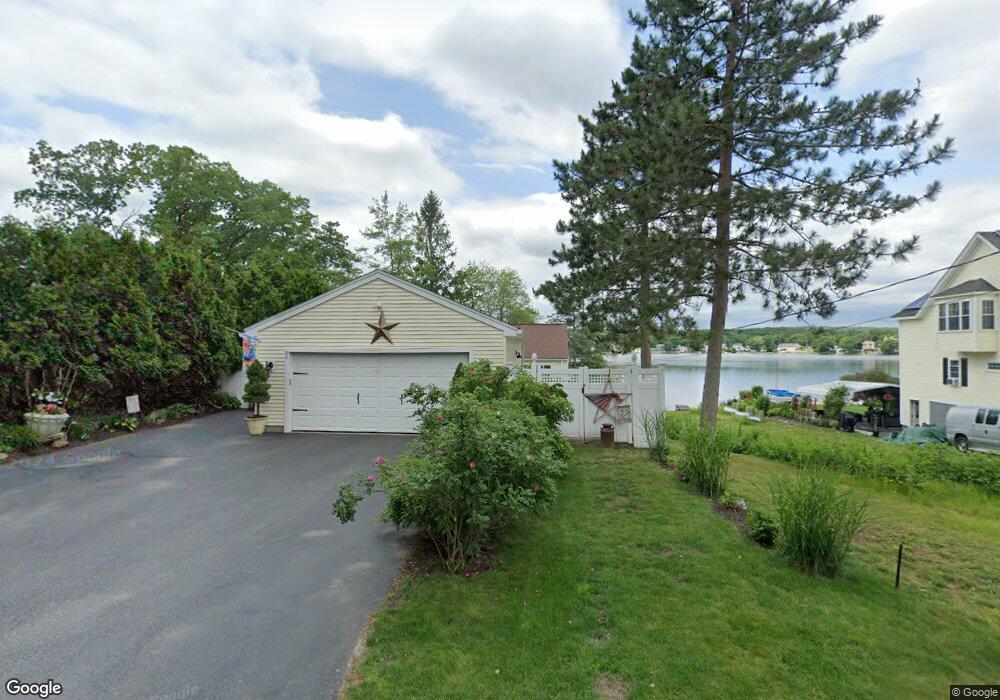
82 Macarthur Dr Millbury, MA 01527
Estimated Value: $516,000 - $679,477
3
Beds
2
Baths
1,176
Sq Ft
$506/Sq Ft
Est. Value
About This Home
This home is located at 82 Macarthur Dr, Millbury, MA 01527 and is currently estimated at $595,119, approximately $506 per square foot. 82 Macarthur Dr is a home located in Worcester County with nearby schools including Elmwood Street Elementary School, Raymond E. Shaw Elementary School, and Millbury Junior/Senior High School.
Ownership History
Date
Name
Owned For
Owner Type
Purchase Details
Closed on
Jan 3, 2012
Sold by
Kalil Louise M
Bought by
Kalil Paul
Current Estimated Value
Create a Home Valuation Report for This Property
The Home Valuation Report is an in-depth analysis detailing your home's value as well as a comparison with similar homes in the area
Home Values in the Area
Average Home Value in this Area
Purchase History
| Date | Buyer | Sale Price | Title Company |
|---|---|---|---|
| Kalil Paul | -- | -- | |
| Kalil Paul | -- | -- |
Source: Public Records
Mortgage History
| Date | Status | Borrower | Loan Amount |
|---|---|---|---|
| Previous Owner | Kalil Paul | $80,000 |
Source: Public Records
Tax History
| Year | Tax Paid | Tax Assessment Tax Assessment Total Assessment is a certain percentage of the fair market value that is determined by local assessors to be the total taxable value of land and additions on the property. | Land | Improvement |
|---|---|---|---|---|
| 2025 | $8,866 | $662,155 | $323,855 | $338,300 |
| 2024 | $8,138 | $615,090 | $299,990 | $315,100 |
| 2023 | $6,208 | $429,652 | $155,252 | $274,400 |
| 2022 | $6,052 | $403,452 | $155,252 | $248,200 |
| 2021 | $5,983 | $387,752 | $155,252 | $232,500 |
| 2020 | $5,459 | $356,100 | $129,400 | $226,700 |
| 2019 | $5,313 | $335,200 | $117,500 | $217,700 |
| 2018 | $5,033 | $308,000 | $117,500 | $190,500 |
| 2017 | $4,903 | $298,400 | $117,500 | $180,900 |
| 2016 | $4,767 | $289,600 | $117,500 | $172,100 |
| 2015 | $4,826 | $293,200 | $125,000 | $168,200 |
| 2014 | $4,025 | $235,400 | $90,700 | $144,700 |
Source: Public Records
Map
Nearby Homes
- 48 Macarthur Dr
- 2 Diane St
- 2 Wilson Rd Unit B
- 2 Wilson Rd Unit A
- 2 Riverlin Pkwy
- 12 Irene Ct
- 8 Nightview Place
- 300 Millbury Ave
- 5 Ann Dr Unit 5
- 5 Lincoln Ln Unit 5
- 7 Barbara St
- 20 Woodridge Rd
- 11 Maplewood Rd
- 1459 Grafton Rd
- 8 Lincoln Ave
- 46 Lexington Rd
- 17 Lincoln Ave
- 16 Amherst St
- 7 Canal St
- 6 Nathaniel St
- 86 Macarthur Dr
- 86 Macarthur Dr Unit left side
- 78 Macarthur Dr
- 76 Macarthur Dr
- 88 Macarthur Dr
- 74 Macarthur Dr
- 77 Macarthur Dr
- 85 Macarthur Dr
- 75 Macarthur Dr
- 72 Macarthur Dr
- 87 Macarthur Dr
- 70 Macarthur Dr
- 69 Macarthur Dr
- 91 Macarthur Dr
- 92 Macarthur Dr
- 117 Macarthur Dr
- 68 Macarthur Dr
- 111 Macarthur Dr
- 94-A B MacArthur Dr
- 127 Macarthur Dr
Your Personal Tour Guide
Ask me questions while you tour the home.