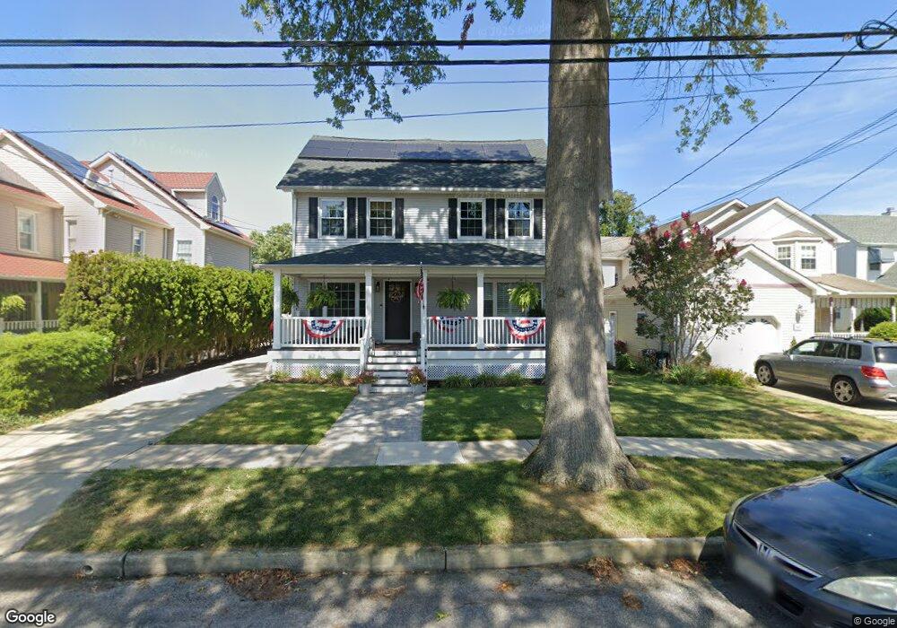
82 Marcellus Ave Unit 84 Manasquan, NJ 08736
Estimated Value: $1,421,000 - $1,721,000
4
Beds
4
Baths
2,640
Sq Ft
$609/Sq Ft
Est. Value
About This Home
This home is located at 82 Marcellus Ave Unit 84, Manasquan, NJ 08736 and is currently estimated at $1,607,418, approximately $608 per square foot. 82 Marcellus Ave Unit 84 is a home located in Monmouth County with nearby schools including Manasquan Elementary School, Manasquan High School, and The Brookside School.
Ownership History
Date
Name
Owned For
Owner Type
Purchase Details
Closed on
Jul 6, 2022
Sold by
Lembo Armand E and Lembo Carol A
Bought by
Carol Ann Lembo Irrevocable Trust
Current Estimated Value
Purchase Details
Closed on
Nov 1, 2000
Sold by
Yuro Paul
Bought by
Lembo Armand and Lembo Carol
Home Financials for this Owner
Home Financials are based on the most recent Mortgage that was taken out on this home.
Original Mortgage
$198,000
Interest Rate
7.83%
Create a Home Valuation Report for This Property
The Home Valuation Report is an in-depth analysis detailing your home's value as well as a comparison with similar homes in the area
Home Values in the Area
Average Home Value in this Area
Purchase History
| Date | Buyer | Sale Price | Title Company |
|---|---|---|---|
| Carol Ann Lembo Irrevocable Trust | -- | Goldberg Eric R | |
| Carol Ann Lembo Irrevocable Trust | -- | None Listed On Document | |
| Lembo Armand | $398,000 | -- |
Source: Public Records
Mortgage History
| Date | Status | Borrower | Loan Amount |
|---|---|---|---|
| Previous Owner | Lembo Armand | $198,000 |
Source: Public Records
Tax History Compared to Growth
Tax History
| Year | Tax Paid | Tax Assessment Tax Assessment Total Assessment is a certain percentage of the fair market value that is determined by local assessors to be the total taxable value of land and additions on the property. | Land | Improvement |
|---|---|---|---|---|
| 2025 | $14,900 | $838,000 | $407,800 | $430,200 |
| 2024 | $11,152 | $838,000 | $407,800 | $430,200 |
| 2023 | $11,152 | $651,800 | $407,800 | $244,000 |
| 2022 | $10,158 | $651,800 | $407,800 | $244,000 |
| 2021 | $10,158 | $651,800 | $407,800 | $244,000 |
| 2020 | $10,585 | $651,800 | $407,800 | $244,000 |
| 2019 | $10,188 | $651,800 | $407,800 | $244,000 |
| 2018 | $9,960 | $651,800 | $407,800 | $244,000 |
| 2017 | $9,581 | $651,800 | $407,800 | $244,000 |
| 2016 | $9,327 | $651,800 | $407,800 | $244,000 |
| 2015 | $7,584 | $458,400 | $218,500 | $239,900 |
| 2014 | $7,614 | $460,700 | $218,500 | $242,200 |
Source: Public Records
Map
Nearby Homes
- 85 Virginia Ave
- 105 Mount Ln Unit 3
- 116 Curtis Ave
- 610 Agnes Ave
- 633 Agnes Ave
- 10 Acpoan Place
- 507 Magnolia Ave
- 504 Fisk Ave
- 300 Union Ave
- 34 Broad St Unit 306
- 549 Woodland Ave
- 320 Cedar Ave
- 323-325 Fisk Ave
- 308 South St
- 34 Wigwam Path
- 329 Fisk Ave
- 22 Woodland Ave
- 508 Harris Ave
- 3 Central Ave
- 386 Perrine Blvd
- 76 Marcellus Ave
- 86 Marcellus Ave
- 1612 Lorraine Ct
- 90 Marcellus Ave
- 72 Marcellus Ave
- 68 Marcellus Ave
- 83 Virginia Ave
- 77 Virginia Ave
- 73 Virginia Ave
- 111 Union Ave
- 81 Marcellus Ave
- 66 Marcellus Ave
- 75 Marcellus Ave
- 85 Marcellus Ave
- 93 1/2 Union Ave
- 69 Virginia Ave
- 87 Marcellus Ave
- 73 Marcellus Ave
- 94 Marcellus Ave
- 91 Marcellus Ave