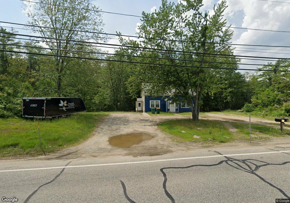
82 Milton Rd Unit 84 Rochester, NH 03868
Estimated Value: $292,000 - $436,263
4
Beds
2
Baths
1,593
Sq Ft
$230/Sq Ft
Est. Value
About This Home
This home is located at 82 Milton Rd Unit 84, Rochester, NH 03868 and is currently estimated at $366,816, approximately $230 per square foot. 82 Milton Rd Unit 84 is a home located in Strafford County with nearby schools including East Rochester School, Nancy Loud School, and Rochester Middle School.
Ownership History
Date
Name
Owned For
Owner Type
Purchase Details
Closed on
Dec 15, 2016
Sold by
Marcia L Nescot T
Bought by
Dt Properties Llc
Current Estimated Value
Home Financials for this Owner
Home Financials are based on the most recent Mortgage that was taken out on this home.
Original Mortgage
$112,500
Outstanding Balance
$90,898
Interest Rate
3.54%
Mortgage Type
Commercial
Estimated Equity
$275,918
Purchase Details
Closed on
Mar 16, 1990
Bought by
Nescot Marcia L
Create a Home Valuation Report for This Property
The Home Valuation Report is an in-depth analysis detailing your home's value as well as a comparison with similar homes in the area
Home Values in the Area
Average Home Value in this Area
Purchase History
| Date | Buyer | Sale Price | Title Company |
|---|---|---|---|
| Dt Properties Llc | $150,000 | -- | |
| Nescot Marcia L | -- | -- |
Source: Public Records
Mortgage History
| Date | Status | Borrower | Loan Amount |
|---|---|---|---|
| Open | Dt Properties Llc | $112,500 |
Source: Public Records
Tax History Compared to Growth
Tax History
| Year | Tax Paid | Tax Assessment Tax Assessment Total Assessment is a certain percentage of the fair market value that is determined by local assessors to be the total taxable value of land and additions on the property. | Land | Improvement |
|---|---|---|---|---|
| 2024 | $6,326 | $426,000 | $187,400 | $238,600 |
| 2023 | $4,340 | $168,600 | $61,300 | $107,300 |
| 2022 | $3,971 | $157,100 | $61,300 | $95,800 |
| 2021 | $3,873 | $157,100 | $61,300 | $95,800 |
| 2020 | $3,866 | $157,100 | $61,300 | $95,800 |
| 2019 | $3,912 | $157,100 | $61,300 | $95,800 |
| 2018 | $3,566 | $138,000 | $61,200 | $76,800 |
| 2017 | $3,634 | $138,000 | $61,200 | $76,800 |
| 2016 | $3,770 | $133,400 | $61,200 | $72,200 |
| 2015 | $3,755 | $133,400 | $61,200 | $72,200 |
| 2014 | $3,664 | $133,400 | $61,200 | $72,200 |
| 2013 | $3,867 | $146,700 | $82,800 | $63,900 |
| 2012 | $3,767 | $146,700 | $82,800 | $63,900 |
Source: Public Records
Map
Nearby Homes
- 30 Flat Rock Bridge Rd
- 47 Salmon Falls Rd
- 96 Salmon Falls Rd
- 30 Riverlawn Ave
- 22 Trade Wind Ln
- 13 Crosswind Ln
- 41 Kinsale Dr
- 6 Sewell Rd
- 80 Woodland Green
- 79 Millers Farm Dr
- 180 Chestnut Hill Rd
- 17 Lynn Ln
- 21 Copps Dr
- 17 Copps Dr
- 33 Copps Dr
- 52 Little Falls Bridge Rd
- 2 Freedom Dr
- 3 Freedom Dr Unit 17
- 6 Gina Dr
- 70 River Rd
- 83 Milton Rd
- 6 Flat Rock Bridge Rd
- 1 Silver Bell Mobile Home Park
- 1 Silver Bell Mobile Home Park
- 8 Flat Rock Bridge Rd
- 11 Silverbell Park
- 8 Phillips Way
- 10 Flat Rock Bridge Rd
- 9 Flat Rock Bridge Rd
- 87 Milton Rd
- 12 Flat Rock Bridge Rd
- 11 Flat Rock Bridge Rd
- 14 Phillips Way
- 14 Flat Rock Bridge Rd
- 70 Milton Rd
- 15 Silver Bell Mobile Home Park
- 18 Silverbell Mobile Home Park
- 5 Silver Bell Mobile Home Park
- 11 Silver Bell Mobile Home Park
- 18 Silver Bell Mobile Home Park