82 Patterson Rd Wilmot, NH 03287
Estimated Value: $725,695 - $1,080,000
3
Beds
5
Baths
2,654
Sq Ft
$328/Sq Ft
Est. Value
About This Home
This home is located at 82 Patterson Rd, Wilmot, NH 03287 and is currently estimated at $871,674, approximately $328 per square foot. 82 Patterson Rd is a home located in Merrimack County with nearby schools including Kearsarge Elementary School - New London, Kearsarge Regional Middle School, and Kearsarge Regional High School.
Ownership History
Date
Name
Owned For
Owner Type
Purchase Details
Closed on
Jan 15, 2010
Sold by
Brenda B Snyder T
Bought by
Mary Ellen S Price Ret
Current Estimated Value
Home Financials for this Owner
Home Financials are based on the most recent Mortgage that was taken out on this home.
Original Mortgage
$70,000
Outstanding Balance
$45,396
Interest Rate
4.71%
Mortgage Type
Purchase Money Mortgage
Estimated Equity
$826,278
Create a Home Valuation Report for This Property
The Home Valuation Report is an in-depth analysis detailing your home's value as well as a comparison with similar homes in the area
Home Values in the Area
Average Home Value in this Area
Purchase History
| Date | Buyer | Sale Price | Title Company |
|---|---|---|---|
| Mary Ellen S Price Ret | $390,000 | -- |
Source: Public Records
Mortgage History
| Date | Status | Borrower | Loan Amount |
|---|---|---|---|
| Open | Mary Ellen S Price Ret | $70,000 |
Source: Public Records
Tax History Compared to Growth
Tax History
| Year | Tax Paid | Tax Assessment Tax Assessment Total Assessment is a certain percentage of the fair market value that is determined by local assessors to be the total taxable value of land and additions on the property. | Land | Improvement |
|---|---|---|---|---|
| 2024 | $11,203 | $437,600 | $111,300 | $326,300 |
| 2023 | $10,577 | $437,600 | $111,300 | $326,300 |
| 2022 | $9,234 | $433,100 | $111,300 | $321,800 |
| 2021 | $9,156 | $433,100 | $111,300 | $321,800 |
| 2020 | $9,156 | $433,100 | $111,300 | $321,800 |
| 2019 | $8,753 | $357,400 | $86,000 | $271,400 |
| 2018 | $8,753 | $357,400 | $86,000 | $271,400 |
| 2017 | $8,544 | $348,600 | $86,000 | $262,600 |
| 2016 | $8,467 | $348,600 | $86,000 | $262,600 |
| 2015 | $8,255 | $348,600 | $86,000 | $262,600 |
| 2014 | $7,104 | $339,600 | $83,500 | $256,100 |
| 2013 | $7,946 | $382,200 | $111,100 | $271,100 |
Source: Public Records
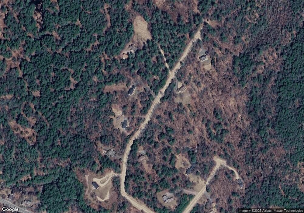
Map
Nearby Homes
- 125 Nh Route 4a
- 133 Nh Route 4a
- 62 Patterson Rd
- 49 Pedrick Rd
- 243 Cross Hill Rd
- Lot 16 Granite Hill Rd
- 303 Route 4a
- 221 Campground Rd
- Lot 8 Stone Bridge Rd
- 658 N Wilmot Rd
- 0 Quiet Cove Way Unit 5
- 626 Nh Route 4a
- 24 Mountain Overlook
- 18 Cilleyville Rd
- 32 Clubhouse Rd
- 00 New Canada Rd Unit 7
- 163 Quaker Path Rd
- 58 Kearsarge Rd
- 155 Wilder Ln
- 000 Shaker Rd Unit 288
- 71 Patterson Rd
- 10 Clarke Rd
- 20 Clarke Rd
- 32 Clarke Rd
- 100 Patterson Rd
- 50 Patterson Rd
- 21 Clarke Rd
- 47 Patterson Rd
- 12 Pinnacle Rd
- 59 N Wilmot Rd
- 53 Pinnacle Rd
- 45 Pinnacle Rd
- 33 Pinnacle Rd
- 25 N Wilmot Rd
- 326 Nh Route 4a
- 277 Nh Route 4a
- 6 Bunker Hill Rd
- 14 Bunker Hill Rd
- 306 Nh Route 4a
- 279 Nh Route 4a