82 Perrys Ln Rochester, MA 02770
Estimated Value: $320,424 - $399,000
2
Beds
1
Bath
484
Sq Ft
$749/Sq Ft
Est. Value
About This Home
This home is located at 82 Perrys Ln, Rochester, MA 02770 and is currently estimated at $362,356, approximately $748 per square foot. 82 Perrys Ln is a home with nearby schools including Rochester Memorial School and Old Rochester Regional High School.
Ownership History
Date
Name
Owned For
Owner Type
Purchase Details
Closed on
Jul 12, 2022
Sold by
Lund Paul A and Bryan Janet R
Bought by
76 & 82 Perrys Lane Rt
Current Estimated Value
Purchase Details
Closed on
Apr 22, 2021
Sold by
Lund Irt
Bought by
Lund Paul A and Snell Cheryl A
Purchase Details
Closed on
Jul 3, 2017
Sold by
Lund Paul A
Bought by
Lund Irt
Purchase Details
Closed on
Mar 29, 1979
Bought by
Lund Paul A
Create a Home Valuation Report for This Property
The Home Valuation Report is an in-depth analysis detailing your home's value as well as a comparison with similar homes in the area
Home Values in the Area
Average Home Value in this Area
Purchase History
| Date | Buyer | Sale Price | Title Company |
|---|---|---|---|
| 76 & 82 Perrys Lane Rt | -- | None Available | |
| Lund Paul A | -- | None Available | |
| Lund Irt | -- | -- | |
| Lund Paul A | $10,000 | -- |
Source: Public Records
Tax History Compared to Growth
Tax History
| Year | Tax Paid | Tax Assessment Tax Assessment Total Assessment is a certain percentage of the fair market value that is determined by local assessors to be the total taxable value of land and additions on the property. | Land | Improvement |
|---|---|---|---|---|
| 2025 | $2,549 | $235,600 | $164,700 | $70,900 |
| 2024 | $2,494 | $225,500 | $156,900 | $68,600 |
| 2023 | $2,564 | $216,000 | $156,900 | $59,100 |
| 2022 | $2,455 | $192,700 | $152,300 | $40,400 |
| 2021 | $2,405 | $179,900 | $143,800 | $36,100 |
| 2020 | $2,784 | $206,500 | $174,600 | $31,900 |
| 2019 | $2,603 | $185,900 | $163,900 | $22,000 |
| 2018 | $2,348 | $166,400 | $147,700 | $18,700 |
| 2017 | $2,046 | $142,200 | $118,300 | $23,900 |
| 2016 | $2,023 | $144,400 | $119,900 | $24,500 |
| 2015 | $1,999 | $142,100 | $119,900 | $22,200 |
| 2014 | $1,935 | $139,700 | $116,900 | $22,800 |
Source: Public Records
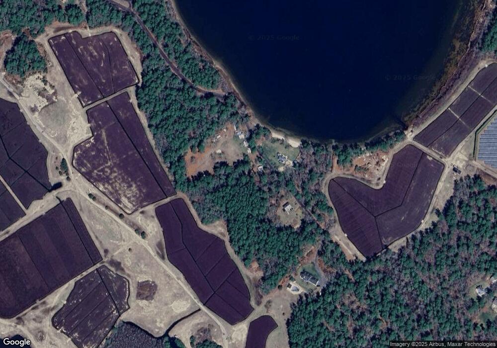
Map
Nearby Homes
- 0-A3 Marys Pond Rd
- 0-A4 Marys Pond Rd
- 82 Pierce St
- 291 County Rd
- 31 Cross Rd
- 15 Cross Rd
- 19 County Rd
- 57 Hathaway Pond Cir Unit 57
- 9 Hathaway Pond Cir
- 0 County Rd
- 127 County Rd
- 119 County Rd
- 9 White Pine Ave
- 9 Mayflower Ln
- 46 Helen St
- 490 High St
- 7 Forbes Rd
- 527 High St
- 19 Sarahbeth Ln Unit 27
- 4 Hayley Cir
- 16 Perrys Ln
- 79 Perrys Ln
- 0 Perry's Ln Unit 70705073
- 98 Perrys Ln
- 106 Perrys Ln
- 42 Tucker Ln
- 8 Perrys Ln
- 36 Tucker Ln
- 428 Marys Pond Rd
- 415 County Rd
- 415A County Rd
- 32 Tucker Ln
- 457 Marys Pond Rd
- 26 Tucker Ln
- 387 County Rd
- 20 Tucker Ln
- 316 Mary's Pond Rd
- 325 Marys Pond Rd
- 475 Marys Pond Rd
- 16 Tucker Ln