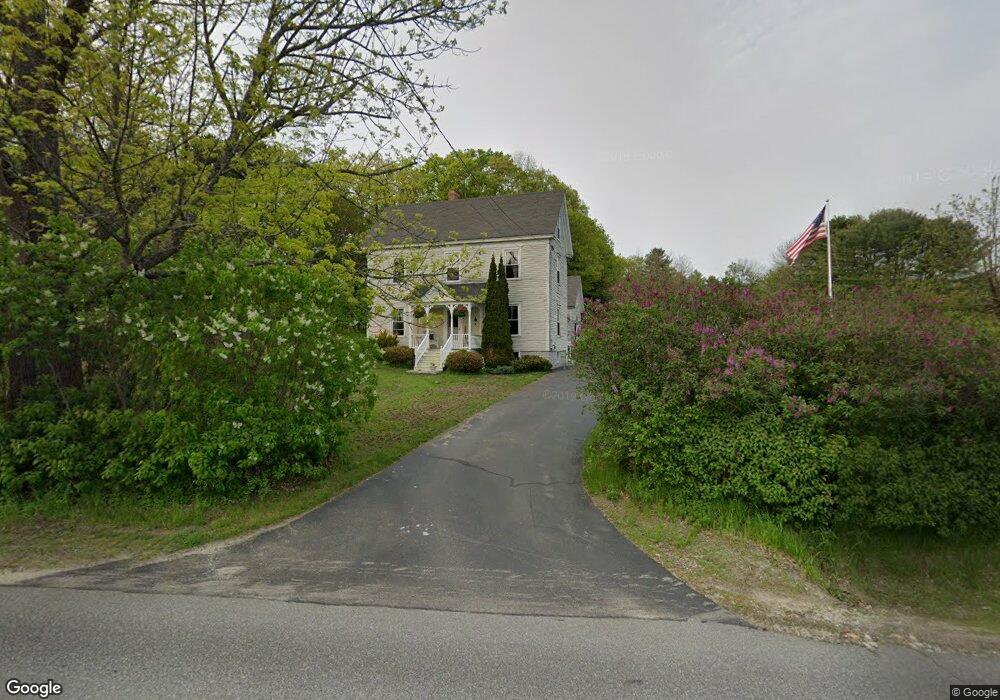
82 Pownal Rd Freeport, ME 04032
Estimated Value: $615,829 - $762,000
4
Beds
3
Baths
2,049
Sq Ft
$330/Sq Ft
Est. Value
About This Home
This home is located at 82 Pownal Rd, Freeport, ME 04032 and is currently estimated at $675,707, approximately $329 per square foot. 82 Pownal Rd is a home with nearby schools including Morse Street School, Mast Landing School, and Freeport Middle School.
Create a Home Valuation Report for This Property
The Home Valuation Report is an in-depth analysis detailing your home's value as well as a comparison with similar homes in the area
Home Values in the Area
Average Home Value in this Area
Tax History
| Year | Tax Paid | Tax Assessment Tax Assessment Total Assessment is a certain percentage of the fair market value that is determined by local assessors to be the total taxable value of land and additions on the property. | Land | Improvement |
|---|---|---|---|---|
| 2025 | $6,061 | $437,600 | $162,200 | $275,400 |
| 2024 | $5,739 | $429,900 | $154,500 | $275,400 |
| 2023 | $5,275 | $383,600 | $140,400 | $243,200 |
| 2022 | $5,046 | $369,700 | $126,500 | $243,200 |
| 2021 | $4,935 | $369,700 | $126,500 | $243,200 |
| 2020 | $4,827 | $344,800 | $117,200 | $227,600 |
| 2019 | $4,606 | $322,100 | $110,600 | $211,500 |
| 2018 | $4,504 | $299,300 | $103,300 | $196,000 |
| 2017 | $4,307 | $288,100 | $100,900 | $187,200 |
| 2016 | $4,214 | $266,700 | $93,400 | $173,300 |
Source: Public Records
Map
Nearby Homes
- 10 Durham Rd
- 42 Durham Rd
- 67 Farmview Ln
- 5 Holbrook St
- 212 Main St
- 39 Hunter Rd
- 15 Linwood Rd Unit 15
- 11 Orchard Hill Rd
- 8 Statler Ln
- 1 Wardtown Rd
- 26 Harvest Ridge Rd Unit 24
- 20 Harvest Ridge Rd Unit 23
- 1260 Us Route 1
- 4 Harper's Trail
- 143 Bragdon Rd
- 10 Prout Rd
- 15 Tinkers Way
- 62 Webster Rd
- 21 Renee Rd
- 52 Birch Point Rd
Your Personal Tour Guide
Ask me questions while you tour the home.