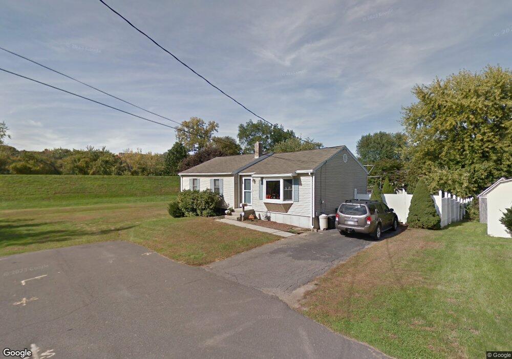
82 Raymond Ave Chicopee, MA 01013
Willimansett NeighborhoodEstimated Value: $309,000 - $323,179
3
Beds
1
Bath
1,104
Sq Ft
$286/Sq Ft
Est. Value
About This Home
This home is located at 82 Raymond Ave, Chicopee, MA 01013 and is currently estimated at $316,045, approximately $286 per square foot. 82 Raymond Ave is a home located in Hampden County with nearby schools including Fairview Elementary School, Bellamy Middle School, and Chicopee High School.
Ownership History
Date
Name
Owned For
Owner Type
Purchase Details
Closed on
Sep 16, 2022
Sold by
Boyer Catherine B
Bought by
Boyer Timothy and Despres Jodie G
Current Estimated Value
Purchase Details
Closed on
Aug 1, 1985
Bought by
Boyer Normand A and Boyer Catherine B
Create a Home Valuation Report for This Property
The Home Valuation Report is an in-depth analysis detailing your home's value as well as a comparison with similar homes in the area
Home Values in the Area
Average Home Value in this Area
Purchase History
| Date | Buyer | Sale Price | Title Company |
|---|---|---|---|
| Boyer Timothy | -- | None Available | |
| Boyer Normand A | $64,900 | -- |
Source: Public Records
Mortgage History
| Date | Status | Borrower | Loan Amount |
|---|---|---|---|
| Previous Owner | Boyer Normand A | $12,400 | |
| Previous Owner | Boyer Normand A | $72,000 |
Source: Public Records
Tax History
| Year | Tax Paid | Tax Assessment Tax Assessment Total Assessment is a certain percentage of the fair market value that is determined by local assessors to be the total taxable value of land and additions on the property. | Land | Improvement |
|---|---|---|---|---|
| 2025 | $4,155 | $274,100 | $101,600 | $172,500 |
| 2024 | $3,944 | $267,200 | $99,600 | $167,600 |
| 2023 | $3,665 | $241,900 | $90,500 | $151,400 |
| 2022 | $3,536 | $208,100 | $78,700 | $129,400 |
| 2021 | $3,362 | $190,900 | $71,600 | $119,300 |
| 2020 | $3,200 | $183,300 | $71,600 | $111,700 |
| 2019 | $3,157 | $175,800 | $71,600 | $104,200 |
| 2018 | $3,087 | $168,600 | $68,200 | $100,400 |
| 2017 | $2,894 | $167,200 | $68,200 | $99,000 |
| 2016 | $2,969 | $175,600 | $68,200 | $107,400 |
| 2015 | $2,885 | $164,500 | $68,200 | $96,300 |
| 2014 | $1,443 | $164,500 | $68,200 | $96,300 |
Source: Public Records
Map
Nearby Homes
- 46 Maplewood Ave
- 36 Daley St
- 343 Chicopee St Unit 14
- 39 State St
- 87 Clarendon Ave
- 219 Clarendon Ave
- 958 Main St
- 269 Chicopee St Unit 6
- 439 Oldfield Rd
- 934 Main St
- 76 Joy St
- 551 Lafleur Dr
- 53 Farnum Dr Unit 53
- 200 Lambert Terrace Unit 2
- 86 Beaumont Ave
- 51 Beaumont Ave
- 89-111 Whitney Ave
- 621 Chicopee St
- 124 Walter St
- 87 Blanchwood Ave
- 50 George St
- 44 George St
- 60 George St
- 30 George St
- 89 Maplewood Ave
- 58 Raymond Ave
- 90 Maplewood Ave
- 76 Maplewood Ave
- 1 George St
- 59 Maplewood Ave
- 55 Raymond Ave
- 64 Maplewood Ave
- 47 Maplewood Ave
- 43 Raymond Ave
- 40 Raymond Ave
- 93 Riverpark Ave
- 81 Riverpark Ave
- 34 Linda Ave
- 67 Riverpark Ave
- 33 Raymond Ave
Your Personal Tour Guide
Ask me questions while you tour the home.