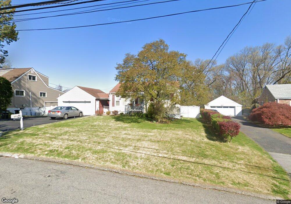
82 Remsen Cir Yonkers, NY 10710
Northeast Yonkers NeighborhoodEstimated Value: $533,000 - $673,597
3
Beds
1
Bath
950
Sq Ft
$646/Sq Ft
Est. Value
About This Home
This home is located at 82 Remsen Cir, Yonkers, NY 10710 and is currently estimated at $613,649, approximately $645 per square foot. 82 Remsen Cir is a home located in Westchester County.
Ownership History
Date
Name
Owned For
Owner Type
Purchase Details
Closed on
Jun 26, 2009
Sold by
Nadzam Thomas
Bought by
Giannantonio James and Giannantonio Barbara
Current Estimated Value
Home Financials for this Owner
Home Financials are based on the most recent Mortgage that was taken out on this home.
Original Mortgage
$392,755
Interest Rate
5.47%
Mortgage Type
FHA
Purchase Details
Closed on
Aug 19, 2004
Sold by
Nadzam Joseph J and Nadzam Rose Marie
Bought by
Nadzam Thomas
Purchase Details
Closed on
Jun 3, 1996
Sold by
Vozza Anthony F and Vozza Concetta
Bought by
Nadzam Joseph J and Nadzam Rose Marie
Create a Home Valuation Report for This Property
The Home Valuation Report is an in-depth analysis detailing your home's value as well as a comparison with similar homes in the area
Home Values in the Area
Average Home Value in this Area
Purchase History
| Date | Buyer | Sale Price | Title Company |
|---|---|---|---|
| Giannantonio James | $400,000 | None Available | |
| Nadzam Thomas | -- | -- | |
| Nadzam Joseph J | $180,000 | Commonwealth Land Title Ins |
Source: Public Records
Mortgage History
| Date | Status | Borrower | Loan Amount |
|---|---|---|---|
| Previous Owner | Giannantonio James | $392,755 |
Source: Public Records
Tax History Compared to Growth
Tax History
| Year | Tax Paid | Tax Assessment Tax Assessment Total Assessment is a certain percentage of the fair market value that is determined by local assessors to be the total taxable value of land and additions on the property. | Land | Improvement |
|---|---|---|---|---|
| 2024 | $1,871 | $10,500 | $4,300 | $6,200 |
| 2023 | $1,861 | $10,500 | $4,300 | $6,200 |
| 2022 | $1,849 | $10,500 | $4,300 | $6,200 |
| 2021 | $8,090 | $10,500 | $4,300 | $6,200 |
| 2020 | $8,735 | $10,500 | $4,300 | $6,200 |
| 2019 | $10,171 | $10,500 | $4,300 | $6,200 |
| 2018 | $8,345 | $11,700 | $4,300 | $7,400 |
| 2017 | -- | $11,700 | $4,300 | $7,400 |
| 2016 | $9,479 | $11,700 | $4,300 | $7,400 |
| 2015 | -- | $11,700 | $4,300 | $7,400 |
| 2014 | -- | $11,700 | $4,300 | $7,400 |
| 2013 | -- | $11,700 | $4,300 | $7,400 |
Source: Public Records
Map
Nearby Homes
- 11 Jackson Ave Unit 4
- 15 Bristol Place
- 49 Gail Rd
- 12 Bacon Place
- 16 High Point Ln
- 0 High Point Ln
- 2 Fountain Ln Unit 2P
- 2 Fountain Ln Unit 1N
- 2 Fountain Ln Unit 3P
- 52 Sprain Valley Rd
- 33 Eisenhower Dr
- 66 Crisfield St Unit 3Y
- 66 Crisfield St Unit 1D
- 66 Crisfield St Unit 3D
- 208 Boulder Ridge Rd
- 2 High Point Terrace
- 61 Newport Rd
- 15 High Point Terrace
- 1 Remsen Rd Unit 4J
- 1 Remsen Rd Unit 1F