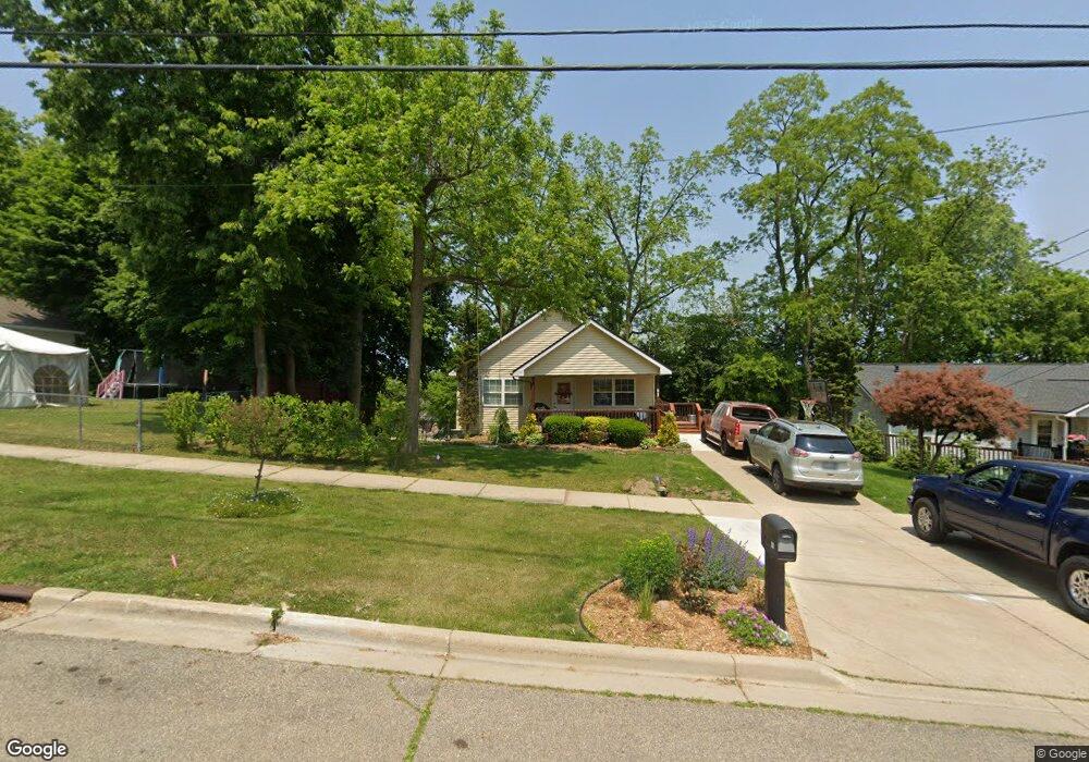
82 Rittenhouse Ave W Battle Creek, MI 49037
Central Battle Creek NeighborhoodEstimated Value: $105,000 - $117,000
2
Beds
1
Bath
1,080
Sq Ft
$101/Sq Ft
Est. Value
About This Home
This home is located at 82 Rittenhouse Ave W, Battle Creek, MI 49037 and is currently estimated at $108,885, approximately $100 per square foot. 82 Rittenhouse Ave W is a home located in Calhoun County with nearby schools including Ann J. Kellogg School, Springfield Middle School, and Battle Creek Central High School.
Ownership History
Date
Name
Owned For
Owner Type
Purchase Details
Closed on
Aug 9, 2005
Sold by
Battle Creek Area Habitat For Humanity
Bought by
Calderon Bernardo
Current Estimated Value
Home Financials for this Owner
Home Financials are based on the most recent Mortgage that was taken out on this home.
Original Mortgage
$56,628
Interest Rate
5.8%
Mortgage Type
Seller Take Back
Purchase Details
Closed on
Oct 12, 2001
Sold by
Marston Robert V and Marston Ardath M
Bought by
B C Area Habitat For Humanity
Create a Home Valuation Report for This Property
The Home Valuation Report is an in-depth analysis detailing your home's value as well as a comparison with similar homes in the area
Home Values in the Area
Average Home Value in this Area
Purchase History
| Date | Buyer | Sale Price | Title Company |
|---|---|---|---|
| Calderon Bernardo | $65,000 | Chicago Title | |
| B C Area Habitat For Humanity | -- | -- |
Source: Public Records
Mortgage History
| Date | Status | Borrower | Loan Amount |
|---|---|---|---|
| Closed | Calderon Bernardo | $56,628 |
Source: Public Records
Tax History Compared to Growth
Tax History
| Year | Tax Paid | Tax Assessment Tax Assessment Total Assessment is a certain percentage of the fair market value that is determined by local assessors to be the total taxable value of land and additions on the property. | Land | Improvement |
|---|---|---|---|---|
| 2025 | -- | $49,700 | $0 | $0 |
| 2024 | $1,201 | $41,543 | $0 | $0 |
| 2023 | $1,373 | $39,876 | $0 | $0 |
| 2022 | $1,085 | $33,226 | $0 | $0 |
| 2021 | $1,295 | $31,238 | $0 | $0 |
| 2020 | $1,282 | $30,650 | $0 | $0 |
| 2019 | $1,213 | $32,425 | $0 | $0 |
| 2018 | $1,213 | $29,497 | $660 | $28,837 |
| 2017 | $1,176 | $27,045 | $0 | $0 |
| 2016 | $1,174 | $25,433 | $0 | $0 |
| 2015 | $1,559 | $31,003 | $0 | $0 |
| 2014 | $1,559 | $33,835 | $0 | $0 |
Source: Public Records
Map
Nearby Homes
- 96 Battle Creek Ave
- 21 Spring St
- 66 Cleveland St
- 17 Tennyson Ave
- 57 Boulder St
- 171 Goguac St W
- 210 Battle Creek Ave
- 30 Harris St
- 212 Goguac St W
- 180 Upton Ave
- 39 Harris St
- 207 Upton Ave Unit V/L
- 71 Burnham St W
- 178 Webber St
- 211 Upton Ave Unit V/L
- 131 Spring St
- 35 Eldred St
- 111 Burnham St W
- 296 Meachem Ave
- 100 Eldred St
- 76 Rittenhouse Ave W
- 96 Rittenhouse Ave W
- 70 Rittenhouse Ave W
- 98 Rittenhouse Ave W
- 14 Caroline St
- 91 Fountain St W
- 83 Rittenhouse Ave W
- 87 Rittenhouse Ave W
- 79 Rittenhouse Ave W
- 99 Rittenhouse Ave W
- 64 Rittenhouse Ave W
- 17 Caroline St
- 46 Caroline St
- 60 Rittenhouse Ave W
- 63 Rittenhouse Ave W
- 73 W Fountain St
- 115 Rittenhouse Ave W
- 94 & 150 Fountain St
- 75 Fountain St W Unit 6
- 75 Fountain St W Unit 4