82 Saint Andrews Dr Charles Town, WV 25414
Estimated Value: $482,000 - $520,000
2
Beds
3
Baths
2,832
Sq Ft
$176/Sq Ft
Est. Value
About This Home
This home is located at 82 Saint Andrews Dr, Charles Town, WV 25414 and is currently estimated at $497,967, approximately $175 per square foot. 82 Saint Andrews Dr is a home located in Jefferson County with nearby schools including Page Jackson Elementary School, Wright Denny Intermediate School, and Charles Town Middle School.
Ownership History
Date
Name
Owned For
Owner Type
Purchase Details
Closed on
Jul 8, 2008
Sold by
Portrey Steven C and Portrey Cynthia R
Bought by
Mckenzie Patrick
Current Estimated Value
Home Financials for this Owner
Home Financials are based on the most recent Mortgage that was taken out on this home.
Original Mortgage
$135,000
Outstanding Balance
$87,357
Interest Rate
6.13%
Mortgage Type
New Conventional
Estimated Equity
$410,610
Create a Home Valuation Report for This Property
The Home Valuation Report is an in-depth analysis detailing your home's value as well as a comparison with similar homes in the area
Home Values in the Area
Average Home Value in this Area
Purchase History
| Date | Buyer | Sale Price | Title Company |
|---|---|---|---|
| Mckenzie Patrick | $260,000 | None Available |
Source: Public Records
Mortgage History
| Date | Status | Borrower | Loan Amount |
|---|---|---|---|
| Open | Mckenzie Patrick | $135,000 |
Source: Public Records
Tax History Compared to Growth
Tax History
| Year | Tax Paid | Tax Assessment Tax Assessment Total Assessment is a certain percentage of the fair market value that is determined by local assessors to be the total taxable value of land and additions on the property. | Land | Improvement |
|---|---|---|---|---|
| 2024 | $2,880 | $246,000 | $50,400 | $195,600 |
| 2023 | $2,873 | $246,000 | $50,400 | $195,600 |
| 2022 | $2,589 | $217,300 | $44,600 | $172,700 |
| 2021 | $2,290 | $188,500 | $44,600 | $143,900 |
| 2020 | $2,027 | $178,100 | $32,400 | $145,700 |
| 2019 | $2,086 | $179,900 | $32,400 | $147,500 |
| 2018 | $2,072 | $176,400 | $32,400 | $144,000 |
| 2017 | $2,092 | $178,100 | $32,400 | $145,700 |
| 2016 | $2,086 | $178,100 | $32,400 | $145,700 |
| 2015 | $2,011 | $170,700 | $32,400 | $138,300 |
| 2014 | $1,798 | $152,900 | $18,100 | $134,800 |
Source: Public Records
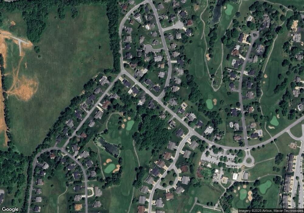
Map
Nearby Homes
- 22 Brookline Cir
- 830 Sawgrass Dr
- 215 Brookline Dr
- 353 Spyglass Hill Dr
- 169 Baltusrol Dr
- 436 Spyglass Hill Dr
- 28 Newington Ct N Unit N
- 80 Mountaineer Ct
- 23 Berkeley Ct
- 268 Oakmont Dr
- 104 Carrell Ln
- 296 Piedmont Ln
- 1233 Earle Rd
- 899 Earle Rd
- 1237 Earle Rd
- 59 Paddock Place
- 776 Thoroughbred Dr
- HOMESITE 493 Westmoreland Way
- HOMESITE 491 Westmoreland Way
- HOMESITE 499 Abigail St
- 82 Saint Andrews Dr
- 60 Saint Andrews Dr
- 106 Saint Andrews Dr
- 38 Saint Andrews Dr
- 69 Saint Andrews Dr
- 105 Saint Andrews Dr
- 105 St Andrews Dr
- 47 Saint Andrews Dr
- 47 St Andrews Dr
- 134 Saint Andrews Dr
- 16 Saint Andrews Dr
- 32 Spyglass Hill Dr
- 131 Saint Andrews Dr
- 142 Sheriden Dr
- 23 Saint Andrews Dr
- 51 Spyglass Hill Dr
- 16 Brookline Dr
- 120 Sheriden Dr
- 46 Spyglass Hill Dr
- 40 Brookline Dr