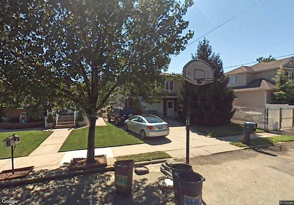
82 Sheldon Ave Staten Island, NY 10312
Arden Heights NeighborhoodEstimated Value: $864,829 - $1,061,000
3
Beds
1
Bath
2,072
Sq Ft
$478/Sq Ft
Est. Value
About This Home
This home is located at 82 Sheldon Ave, Staten Island, NY 10312 and is currently estimated at $989,457, approximately $477 per square foot. 82 Sheldon Ave is a home located in Richmond County with nearby schools including P.S. 36 - J.C. Drumgoole, I.S. 075 Frank D. Paulo, and Tottenville High School.
Ownership History
Date
Name
Owned For
Owner Type
Purchase Details
Closed on
Dec 18, 2009
Sold by
Brown Thomas J and Estate Of Catherine Brown
Bought by
Barone Antonio and Barone Marie
Current Estimated Value
Home Financials for this Owner
Home Financials are based on the most recent Mortgage that was taken out on this home.
Original Mortgage
$200,000
Outstanding Balance
$130,585
Interest Rate
4.92%
Mortgage Type
New Conventional
Estimated Equity
$858,872
Create a Home Valuation Report for This Property
The Home Valuation Report is an in-depth analysis detailing your home's value as well as a comparison with similar homes in the area
Home Values in the Area
Average Home Value in this Area
Purchase History
| Date | Buyer | Sale Price | Title Company |
|---|---|---|---|
| Barone Antonio | $490,000 | The Judicial Title Insurance |
Source: Public Records
Mortgage History
| Date | Status | Borrower | Loan Amount |
|---|---|---|---|
| Open | Barone Antonio | $200,000 |
Source: Public Records
Tax History Compared to Growth
Tax History
| Year | Tax Paid | Tax Assessment Tax Assessment Total Assessment is a certain percentage of the fair market value that is determined by local assessors to be the total taxable value of land and additions on the property. | Land | Improvement |
|---|---|---|---|---|
| 2025 | $8,397 | $60,900 | $8,731 | $52,169 |
| 2024 | $8,043 | $58,800 | $8,889 | $49,911 |
| 2023 | $7,643 | $43,027 | $8,669 | $34,358 |
| 2022 | $7,141 | $53,400 | $11,460 | $41,940 |
| 2021 | $3,601 | $49,140 | $11,460 | $37,680 |
| 2020 | $7,525 | $47,760 | $11,460 | $36,300 |
| 2019 | $4,906 | $49,680 | $11,460 | $38,220 |
| 2018 | $7,012 | $35,856 | $9,083 | $26,773 |
| 2017 | $6,687 | $34,272 | $9,514 | $24,758 |
| 2016 | $6,518 | $34,153 | $10,224 | $23,929 |
| 2015 | $5,773 | $32,220 | $9,540 | $22,680 |
| 2014 | $5,773 | $31,672 | $9,139 | $22,533 |
Source: Public Records
Map
Nearby Homes
- 0 Sheldon Ave
- 9 Sinclair Ave
- 244 Woehrle Ave
- 211 Woehrle Ave
- 84 Wolcott Ave
- 552 Drumgoole Rd E
- 556 Drumgoole Rd E
- 191 Rensselaer Ave Unit 198
- 53 Ludlow St
- 473 Arden Ave
- 966 Drumgoole Rd W
- 138 Rathbun Ave
- 352 Grantwood Ave
- 34 Crown Ct
- 41 Crown Ct
- 38 Deborah Loop
- 670 Arden Ave
- 674 Arden Ave
- 41 Wolcott Ave
- 160 Rathbun Ave
- 78 Sheldon Ave
- 571 Carlton Blvd
- 567 Carlton Blvd
- 74 Sheldon Ave
- 73 Rensselaer Ave
- 69 Rensselaer Ave
- 579 Carlton Blvd
- 70 Sheldon Ave
- 65 Rensselaer Ave
- 65 Rensselaer Ave Unit A
- 583 Carlton Blvd
- 83 Sheldon Ave
- 61 Rensselaer Ave
- 79 Sheldon Ave
- 66 Sheldon Ave
- 75 Sheldon Ave
- 91 Sheldon Ave
- 71 Sheldon Ave
- 57 Rensselaer Ave
- 568 Carlton Blvd