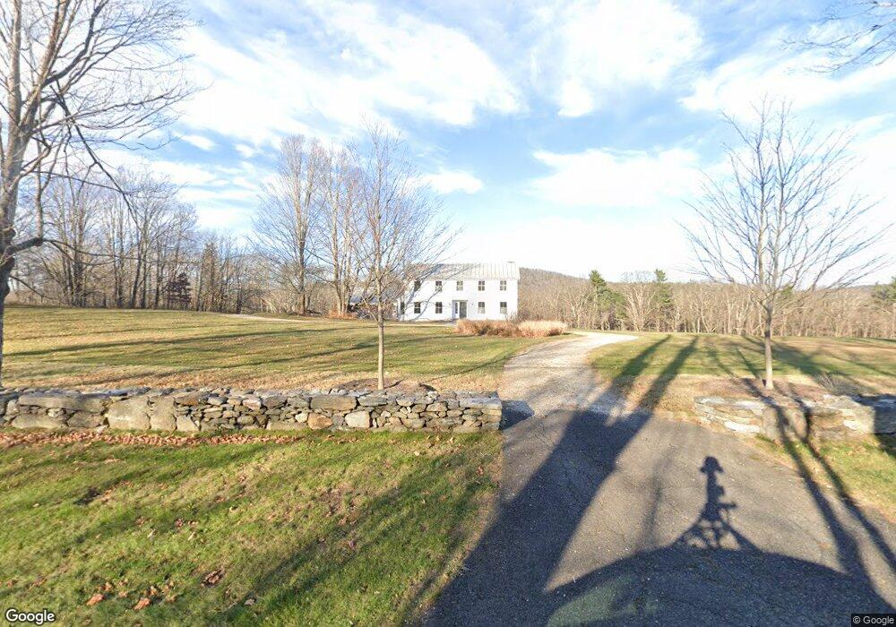
82 Sunset Ridge Rd Norfolk, CT 06058
Estimated Value: $748,000 - $1,095,000
4
Beds
4
Baths
3,555
Sq Ft
$251/Sq Ft
Est. Value
About This Home
This home is located at 82 Sunset Ridge Rd, Norfolk, CT 06058 and is currently estimated at $891,837, approximately $250 per square foot. 82 Sunset Ridge Rd is a home located in Litchfield County with nearby schools including Botelle Elementary School, Northwestern Regional Middle School, and Northwestern Regional High School.
Ownership History
Date
Name
Owned For
Owner Type
Purchase Details
Closed on
Dec 20, 2004
Sold by
Mccabe Mary H
Bought by
Perkins John R and Dana Hope
Current Estimated Value
Home Financials for this Owner
Home Financials are based on the most recent Mortgage that was taken out on this home.
Original Mortgage
$335,000
Interest Rate
5.62%
Create a Home Valuation Report for This Property
The Home Valuation Report is an in-depth analysis detailing your home's value as well as a comparison with similar homes in the area
Home Values in the Area
Average Home Value in this Area
Purchase History
| Date | Buyer | Sale Price | Title Company |
|---|---|---|---|
| Perkins John R | $460,000 | -- | |
| Perkins John R | $460,000 | -- |
Source: Public Records
Mortgage History
| Date | Status | Borrower | Loan Amount |
|---|---|---|---|
| Previous Owner | Perkins John R | $306,604 | |
| Previous Owner | Perkins John R | $335,000 | |
| Previous Owner | Perkins John R | $196,359 |
Source: Public Records
Tax History Compared to Growth
Tax History
| Year | Tax Paid | Tax Assessment Tax Assessment Total Assessment is a certain percentage of the fair market value that is determined by local assessors to be the total taxable value of land and additions on the property. | Land | Improvement |
|---|---|---|---|---|
| 2025 | $12,738 | $566,370 | $157,010 | $409,360 |
| 2024 | $15,887 | $559,400 | $144,770 | $414,630 |
| 2023 | $15,490 | $559,400 | $144,770 | $414,630 |
| 2022 | $15,574 | $559,400 | $144,770 | $414,630 |
| 2021 | $15,053 | $559,400 | $144,770 | $414,630 |
| 2020 | $14,533 | $559,400 | $144,770 | $414,630 |
| 2019 | $15,093 | $559,400 | $144,770 | $414,630 |
| 2018 | $14,531 | $616,500 | $205,550 | $410,950 |
| 2017 | $13,840 | $616,500 | $205,550 | $410,950 |
| 2016 | $13,618 | $616,500 | $205,550 | $410,950 |
| 2015 | $13,532 | $616,500 | $205,550 | $410,950 |
| 2014 | $13,816 | $616,500 | $205,550 | $410,950 |
Source: Public Records
Map
Nearby Homes
- 16 River Place
- 0 Old Colony Rd
- 21 Shepard Rd
- 33 Shepard Rd
- 00 Laurel Way
- 00 Greenwoods Rd E
- 70 Colebrook Rd
- 10 College Hill Rd
- 210 Doolittle Dr
- 649 Litchfield Rd
- 0 Old Goshen Rd
- 0A Old Goshen Rd
- 46 Old Turnpike Rd N
- 127 Old Goshen Rd
- 36 Flagg Hill Rd
- 50 Pine Rd
- 0 Old Turnpike Rd N
- 123 Lower Rd
- 18 Cross To Canaan Valley Rd
- 33 Shantry Rd
- 68 Sunset Ridge Rd
- 110 Sunset Ridge Rd
- 60 Sunset Ridge Rd Unit 62
- 77 Sunset Ridge Rd
- 49 Sunset Ridge Rd
- 48 Sunset Ridge Rd
- 125 Sunset Ridge Rd
- 90 Sunset Ridge Rd
- 57 Blackberry St
- 45 Sunset Ridge Rd
- 34 Sunset Ridge Rd
- 173 Greenwoods Rd W
- 177 Greenwoods Rd W
- 5 River Place
- 47-49 Blackberry St
- 9 River Place
- 47 Blackberry St Unit 49
- 41 Sunset Ridge Rd