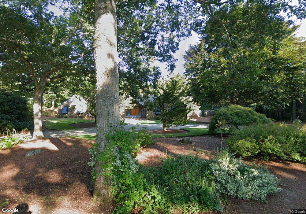
82 The Hacking Cir Mashpee, MA 02649
New Seabury-Popponesset Island NeighborhoodEstimated Value: $1,751,000 - $2,547,000
About This Home
This home is located at 82 The Hacking Cir, Mashpee, MA 02649 and is currently estimated at $1,968,243, approximately $584 per square foot. 82 The Hacking Cir is a home located in Barnstable County with nearby schools including Kenneth C. Coombs School, Quashnet School, and Mashpee Middle School.
Ownership History
We collect this data history from publicly available records. To have your information removed, we recommend requesting removal directly through your county’s website.
Purchase Details
Home Values in the Area
Average Home Value in this Area
Purchase History
We collect this data history from publicly available records. To have your information removed, we recommend requesting removal directly through your county’s website.
| Date | Buyer | Sale Price | Title Company |
|---|---|---|---|
| $880,000 | -- |
Mortgage History
We collect this data history from publicly available records. To have your information removed, we recommend requesting removal directly through your county’s website.
| Date | Status | Borrower | Loan Amount |
|---|---|---|---|
| Closed | $290,000 | ||
| Closed | $462,500 | ||
| Previous Owner | $500,000 |
Tax History
We collect this data history from publicly available records. To have your information removed, we recommend requesting removal directly through your county’s website.
| Year | Tax Paid | Tax Assessment Tax Assessment Total Assessment is a certain percentage of the fair market value that is determined by local assessors to be the total taxable value of land and additions on the property. | Land | Improvement |
|---|---|---|---|---|
| 2025 | $9,670 | $1,460,700 | $503,200 | $957,500 |
| 2024 | $8,421 | $1,309,700 | $396,500 | $913,200 |
| 2023 | $7,688 | $1,096,700 | $348,500 | $748,200 |
| 2022 | $7,363 | $901,200 | $283,300 | $617,900 |
| 2021 | $3,370 | $771,800 | $255,200 | $516,600 |
| 2020 | $7,007 | $770,900 | $265,900 | $505,000 |
| 2019 | $6,725 | $743,100 | $265,900 | $477,200 |
| 2018 | $6,378 | $715,000 | $265,900 | $449,100 |
| 2017 | $6,500 | $707,300 | $267,700 | $439,600 |
| 2016 | $6,821 | $738,200 | $322,600 | $415,600 |
| 2015 | $6,543 | $718,200 | $322,600 | $395,600 |
| 2014 | $6,640 | $707,100 | $316,400 | $390,700 |
Map
- 25 Clover Ln
- 37 Uncle Henrys Rd
- 72 Highwood Way
- 19 Monahansett Rd
- 74 Monahansett Rd
- 35 Shore Dr
- 24 Bluff Ave
- 26 The Morgan Cir
- 21 Uncatena Rd
- 14 Glenneagle Dr
- 251 Shore Dr Unit B1
- 251 Shore Dr Unit B1
- 261 Fells Pond Rd
- 23 Cottage Ln
- 100 The Paddock Cir
- 18 Spoondrift Cir
- 96 Greensward Rd
- 27 Running Light Way
- 20 Saltwater Cir
- 77 Cobblestone Cir
- 74 The Hacking Cir
- 88 The Hacking Cir
- 81 The Hacking Cir
- 109 Uncle Percys Rd
- 99 Uncle Edwards Rd
- 44 Aunt Janes Rd
- 95 The Hacking Cir
- 67 The Hacking Cir
- 66 The Hacking Cir
- 95 Uncle Edwards Rd
- 89 The Hacking Cir
- 14 Nick Trail
- 3 Clover Ln
- 133 Uncle Percys Dr
- 96 Uncle Edwards Rd
- 18 Nick Trail
- 15 Clover Ln
- 57 The Hacking Cir
- 0 Uncle Percy's Rd
- 112 Uncle Percys Dr
Ask me questions while you tour the home.