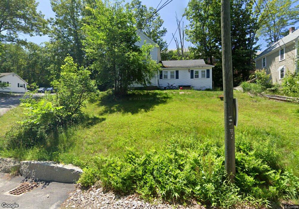
82 Water St Henniker, NH 03242
Estimated Value: $271,220 - $374,000
4
Beds
2
Baths
1,563
Sq Ft
$204/Sq Ft
Est. Value
About This Home
This home is located at 82 Water St, Henniker, NH 03242 and is currently estimated at $318,555, approximately $203 per square foot. 82 Water St is a home with nearby schools including Henniker Community School and John Stark Regional High School.
Ownership History
Date
Name
Owned For
Owner Type
Purchase Details
Closed on
Jul 22, 2021
Sold by
Conroy Brian J and Conroy Mary B
Bought by
Viera Ricky A
Current Estimated Value
Home Financials for this Owner
Home Financials are based on the most recent Mortgage that was taken out on this home.
Original Mortgage
$175,750
Outstanding Balance
$159,612
Interest Rate
2.96%
Mortgage Type
Purchase Money Mortgage
Estimated Equity
$158,943
Create a Home Valuation Report for This Property
The Home Valuation Report is an in-depth analysis detailing your home's value as well as a comparison with similar homes in the area
Home Values in the Area
Average Home Value in this Area
Purchase History
| Date | Buyer | Sale Price | Title Company |
|---|---|---|---|
| Viera Ricky A | $185,000 | None Available |
Source: Public Records
Mortgage History
| Date | Status | Borrower | Loan Amount |
|---|---|---|---|
| Open | Viera Ricky A | $175,750 |
Source: Public Records
Tax History Compared to Growth
Tax History
| Year | Tax Paid | Tax Assessment Tax Assessment Total Assessment is a certain percentage of the fair market value that is determined by local assessors to be the total taxable value of land and additions on the property. | Land | Improvement |
|---|---|---|---|---|
| 2024 | $5,466 | $228,700 | $76,400 | $152,300 |
| 2023 | $5,118 | $228,700 | $76,400 | $152,300 |
| 2022 | $4,903 | $228,700 | $76,400 | $152,300 |
| 2021 | $4,601 | $141,300 | $65,400 | $75,900 |
| 2020 | $4,414 | $141,300 | $65,400 | $75,900 |
| 2019 | $4,707 | $133,200 | $69,100 | $64,100 |
| 2018 | $4,488 | $133,200 | $69,100 | $64,100 |
| 2017 | $4,521 | $133,200 | $69,100 | $64,100 |
| 2016 | $4,440 | $133,200 | $69,100 | $64,100 |
| 2015 | $4,192 | $133,200 | $69,100 | $64,100 |
| 2014 | $3,887 | $126,700 | $72,000 | $54,700 |
Source: Public Records
Map
Nearby Homes
- 2 Hope Rd
- 540-X9-A Route 114
- 540-X9B Route 114
- 388 Western Ave Unit E1
- 302 Flanders Rd
- 173 Patterson Hill Rd
- 143 Tanglewood Dr
- 231 Patterson Hill Rd
- 7-351-B Patterson Hill Rd
- 85 Checkerberry Ln
- 0 Old Concord Rd Unit 551-A 5014211
- 586 C-4 Craney Hill Rd
- 11 White Birch Rd
- 149 Bear Hill Rd
- 430 Highland Dr
- 463 Craney Hill Rd
- 105 Clement Hill Rd
- 98 Emerald Dr
- 0 Kings Row Unit 151 4855040
- 0 Bobolink Ln Unit 120 4858469
- 74 Water St
- 62 Water St
- 60 Water St
- 63 Pearl St
- 47 47-53 Pearl St
- 47 Pearl St
- 25 Pearl St
- 11 Cressey St
- 36 Pearl St
- Lot 583-O Carney Hill Rd
- 19 Pearl St
- 17 Cressey St
- 32 Ramsdell Rd
- 24 Ramsdell Rd Unit 480-A1 & 480-A
- 24 Ramsdell Rd
- 22 & 24 Ramsdell Rd
- 22 Cressey St
- 76 Main St
- 10 Ramsdell Rd
- 58 Main St Unit A